
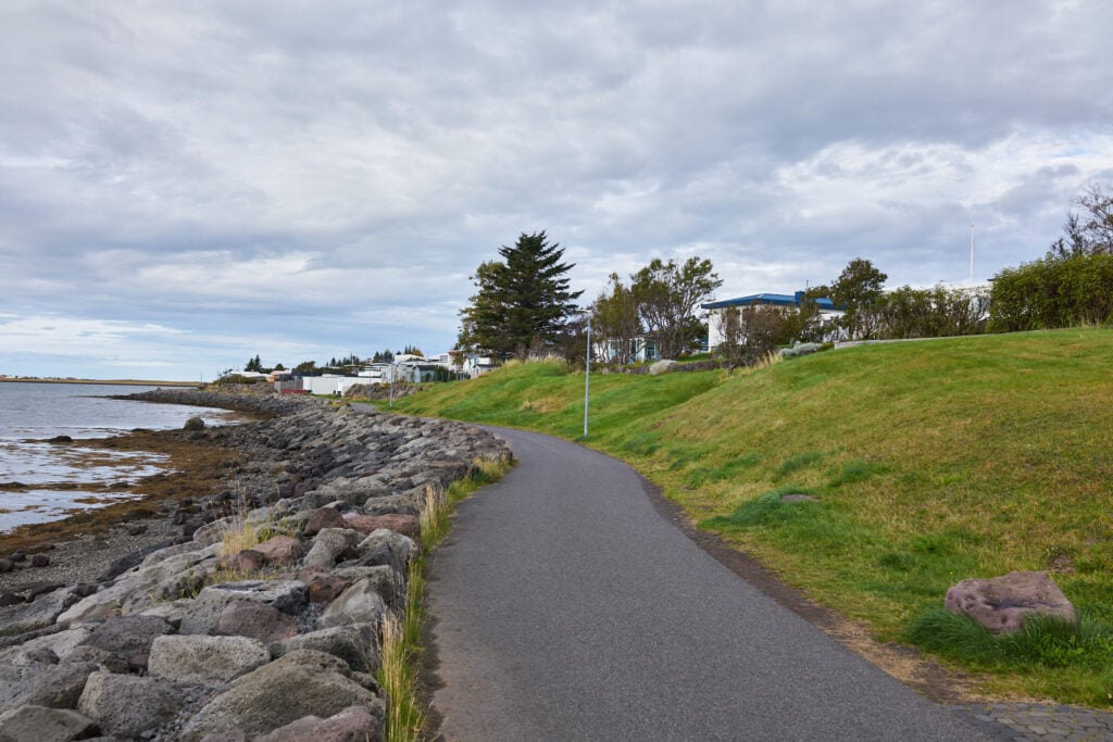
Karsnes — or “the west side,” as residents of Kopavogur often call the peninsula — is 2.2 km long and 1.1 km wide, lying between the coves Fossvogur and Kopavogur. It stretches from the ravine at Hafnarfjardavegur, which separates the west side of Kopavogur from the rest of the town, out into Skerjafjordur.
Before World War II, there was only one farm on the peninsula: the farm Kopavogur, which belonged to Seltjarnarnes parish. It was during the war years that Kopavogur began to develop as a settlement, first on Karsnes and then further east on Digraneshæð. In 1948, Kopavogur became an independent municipality with around 500 inhabitants. Today, Kopavogur is the second largest town in Iceland, with about 41,500 residents.
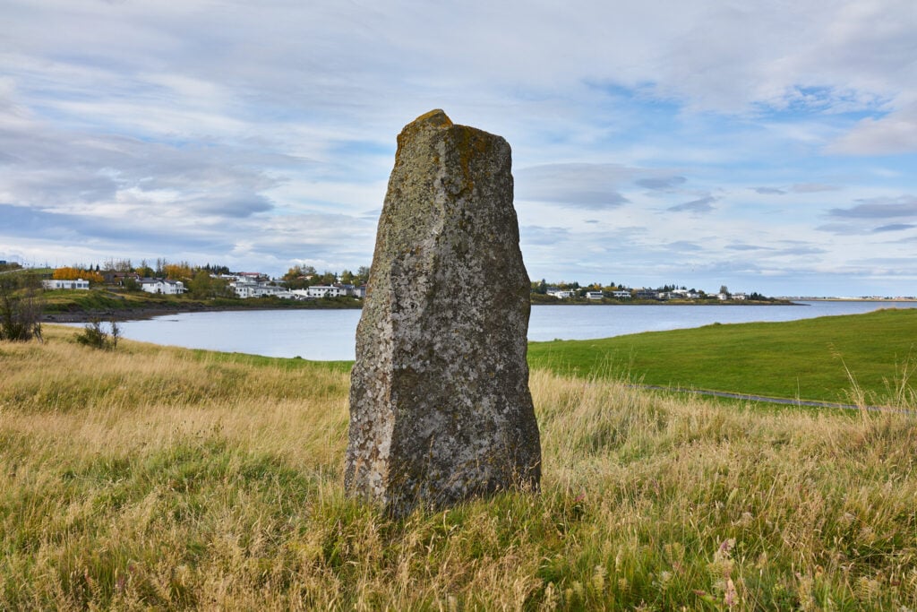
Karsnes, the oldest part of Kopavogur, is also geologically the oldest area of the municipality, with its bedrock of basalt dating back 100,000 years. At the bottom of Kopavogur, on Karsnes, one of the darkest chapters in Iceland’s history took place: the Kopavogur Assembly of 1662, when Icelanders accepted absolute monarchy and surrendered their self-rule to the Danish king at the hereditary homage held that year.
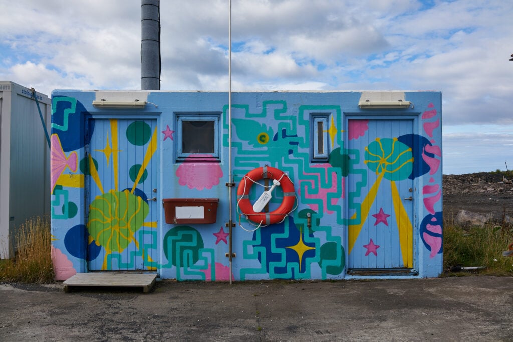
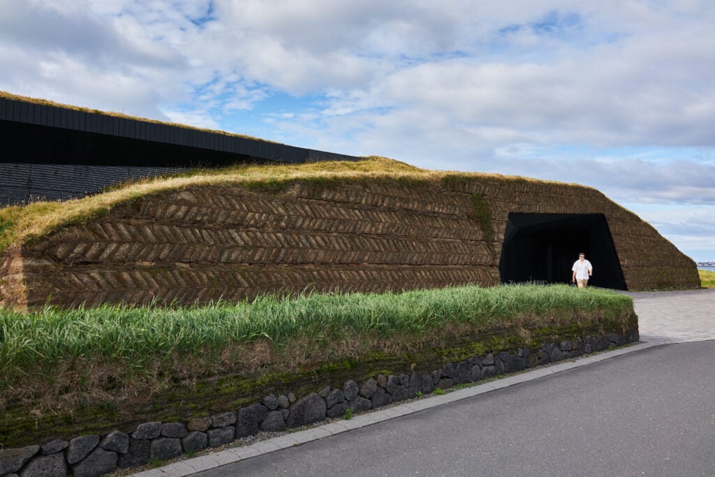
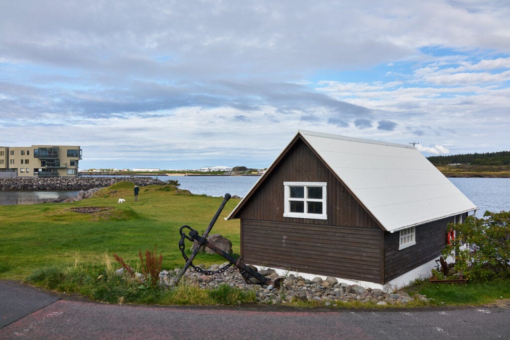
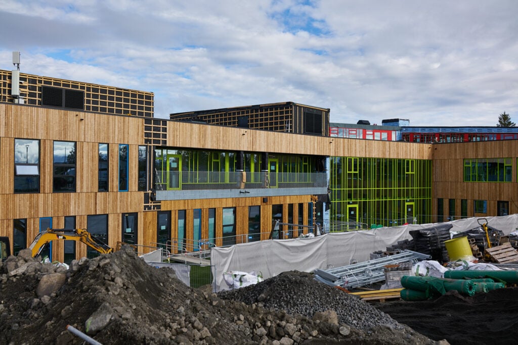
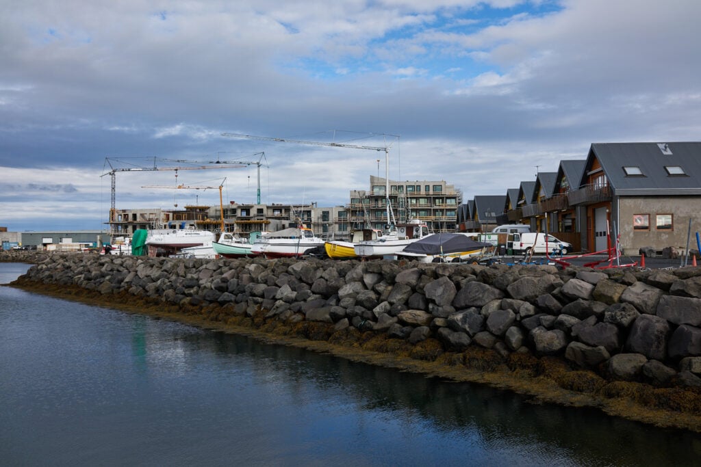
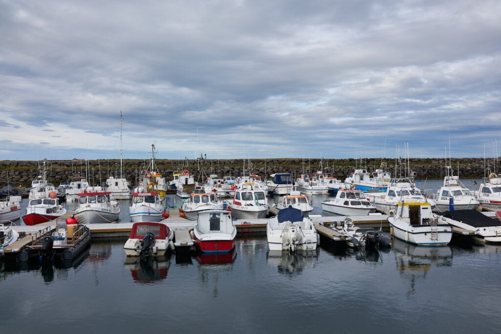
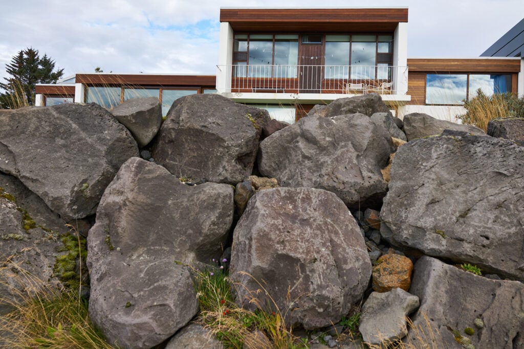
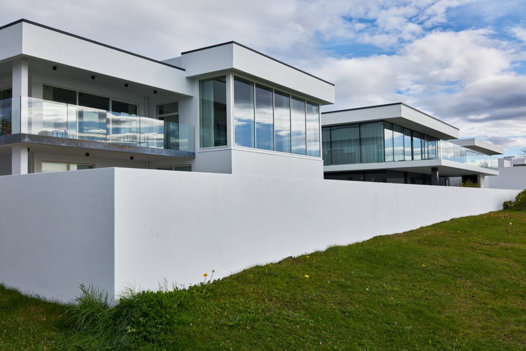
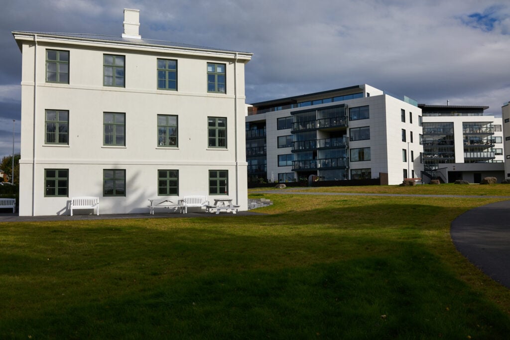
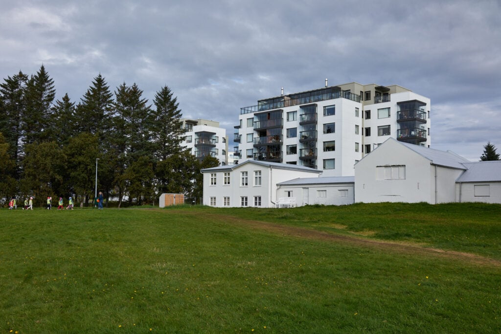
Times have changed. In recent years, Karsnes has undergone major transformation. The settlement has grown denser, and extensive land reclamation at the western tip of the peninsula and in Fossvogur has created opportunities for new neighborhoods that are still taking shape. Icelandic Times / Land & Saga walked the peninsula, where old and new houses blend together beautifully. A charming neighborhood, right in the middle of the capital area.
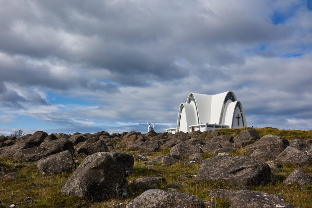
at Karsnes

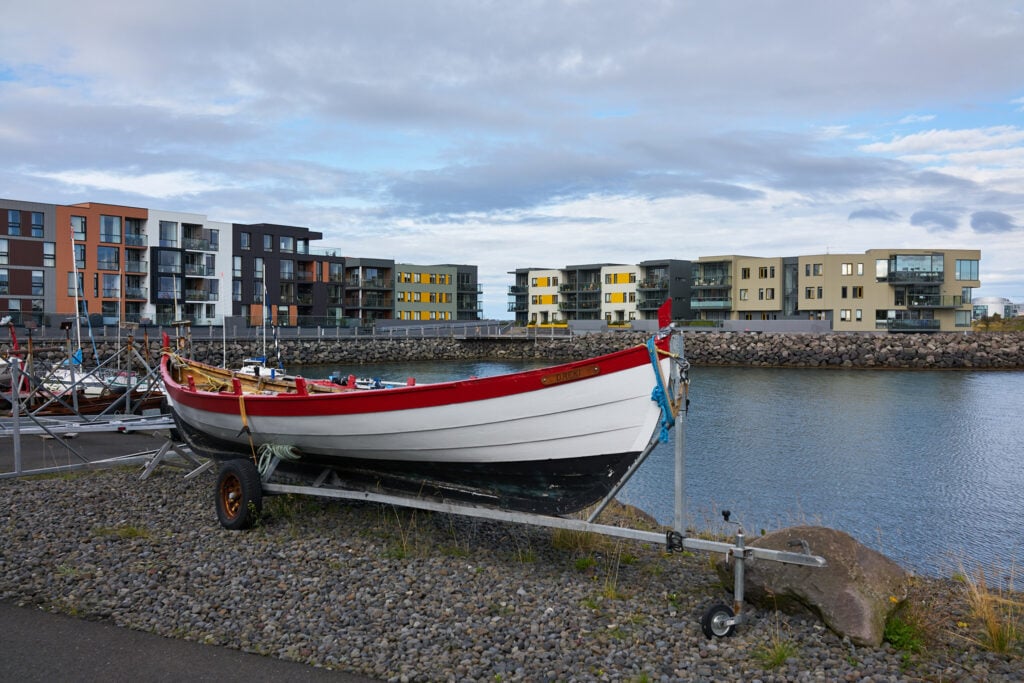
in the background
Photos & Text : Páll Stefánsson
Kópavogur 16/09/2025 – RX1R II : 2.0/35mm Z
