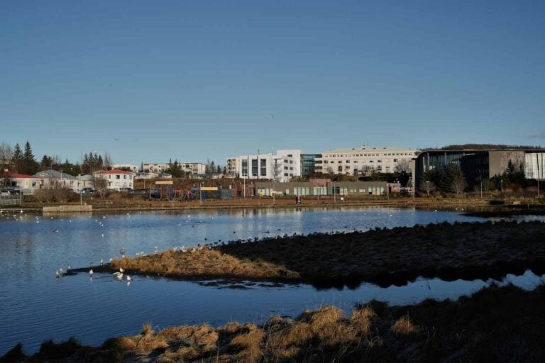
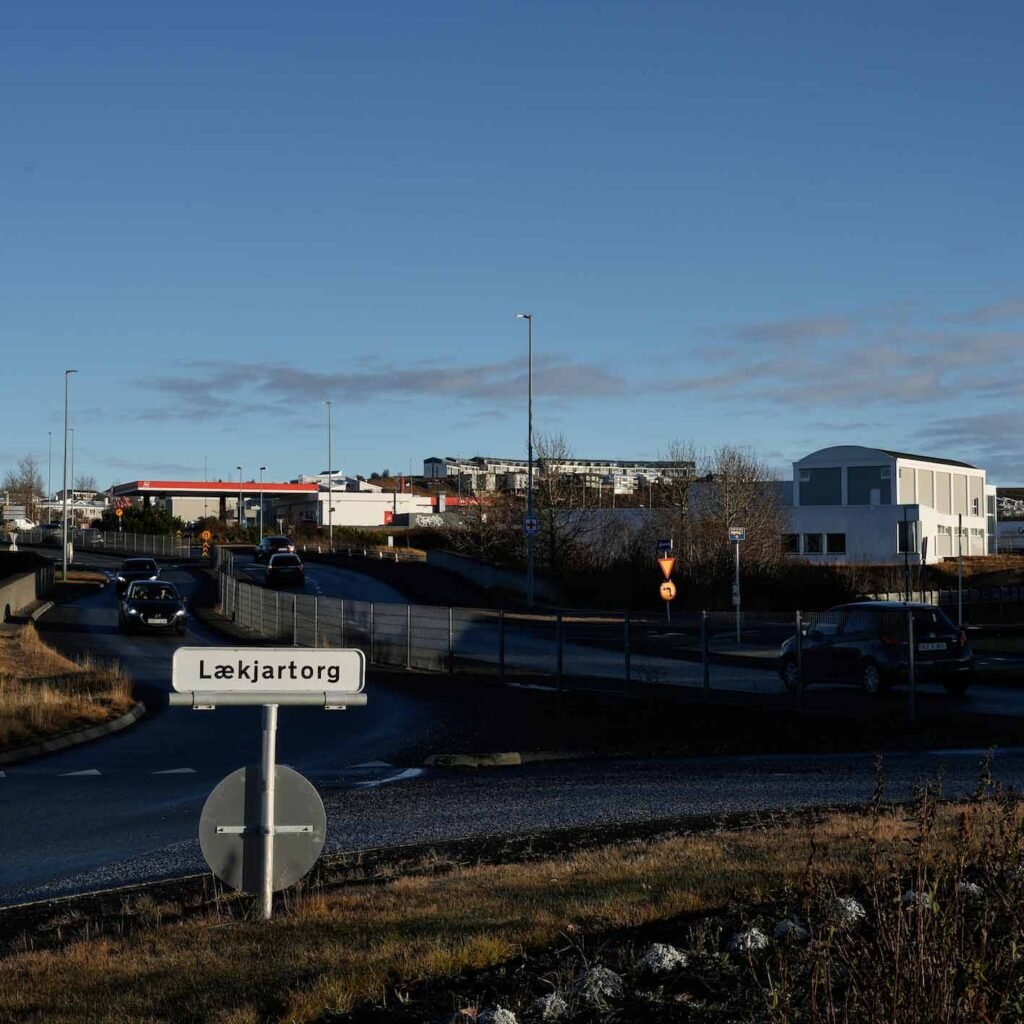
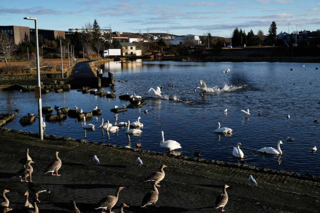
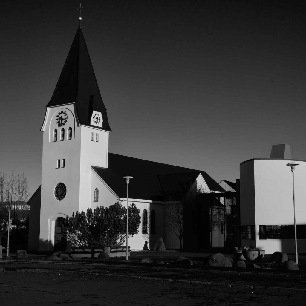
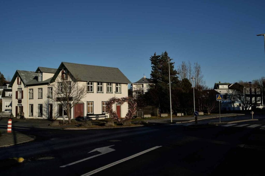
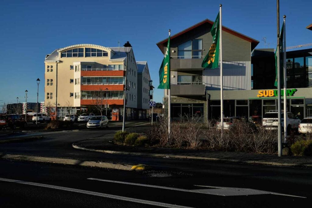
When Hafnarfjördur received its municipal rights in 1908, the town practically an unplanned cluster of houses with few actual streets, and a population of just under fifteen hundred. The only real streets were Strandgata and Reykjavíkurvegur. Most houses in the town were simply placed in the lava field where they fit, with no thought given to future street planning. In 1911, a committee was established to name the paths and streets, number the houses, and organize the settlement. Street names were drawn from the landscape or previous establishments in the area. Templarasund, for instance, was named after the Good Templars’ house, Strandgata (Coastal Road) followed the coastline, Sudurgata (South Road) ran south and west towards Reykjanes, and Reykjavíkurvegur led to the capital city. Lækjargata (Stream Road) was named thus because it runs alongside the southern part of Hamskotslækur (Hamskot Stream) from Strandgata eastward from the harbour. The first houses along the street were built shortly after 1900, just before Hafnarfjördur became an official municipality in 1908. Now, the street runs from Fjardargata to Hlídartorg on Reykjanesbraut. On Lækjargata, just west of Reykjanesbraut, there’s a small roundabout named Lækjartorg. Hafnarfjördur is the third most populous municipality in Iceland, with 32,000 residents. Icelandic Times visited Hafnarfjördur and shot a few frames of what catches the eye when one is in or near Lækjargata, 220 Hafnarfjördur.

Hafnarfjördur 29/10/2024 Camera: A7C R – FE 2.4/40mm G
Photos & Text: Páll Stefánsson

