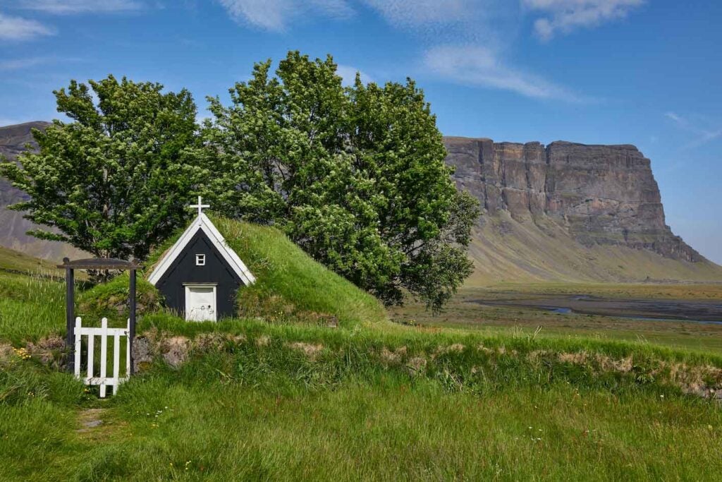
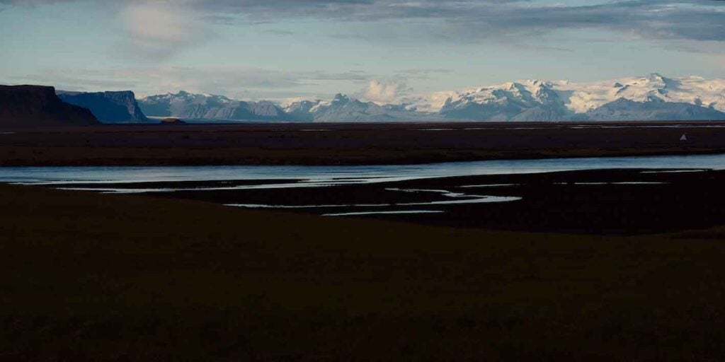
Lómagnúpur is a strikingly beautiful, steep sea cliff west of Skeidarárjökull glacier, where South Iceland and East Iceland meet. The cliff/mountain was formed during subglacial eruptions over a long period during the Ice Age when it extended into the sea. After the Ice Age ended and the pressure on the Earth’s crust was relieved, Lómagnúpur rose and is now one of Iceland’s tallest sea cliffs, standing 671 meters tall, far inland. Over the millennia, the rivers flowing from Skeidarárjökull/Vatnajökull have expanded the land to the south with their sediment deposits. The view from the top of Lómagnúpur is spectacular, but the climb is challenging. It is exactly 300 km (180 miles) from Reykjavík, traveling east along Route 1, which skirts the southern base of Lómagnúpur.


Lómagnúpur 25/11/2024: RX1R II, A7R IV, A7R III – 2.0/35mm Z, FE 1.2/50mm GM, FE 1.8/20mm G, FE 1.8/135mm GM – Images and text: Páll Stefánsson


