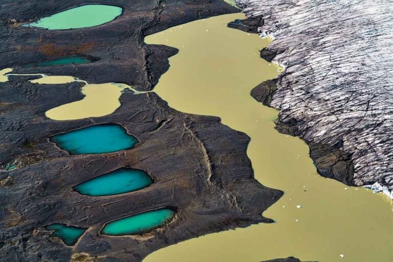
At an elevation of 880 meters, in the Skagafjördur region, at the northeastern corner of Hofsjökull glacier, lies the geographical centre of Iceland. The coordinates are 64°59´11 N and 18°35´12 W.
Hofsjökull is a temperate glacier, the third largest in the country, situated between the two largest glaciers—Langjökull to the west and Vatnajökull, the largest, to the east. Hofsjökull’s highest point reaches 1,765 meters, and its area spans 830 square kilometres, just under one percent of the country’s total land area.
The glacier is named after the nearby settlement of Hof in Vesturdalur, Skagafjördur, which is about 30 kilometres from the glacier’s terminus. Many significant glacial rivers originate from Hofsjökull, the largest being Blanda, which flows north into Húnaflói Bay, and Thjórsá, Iceland’s longest river. Thjórsá flows south along the border of Árnessýsla and Rangárvallasýsla counties before emptying into the sea between Hella and Selfoss. It is also home to the largest number of hydroelectric power stations in Iceland.
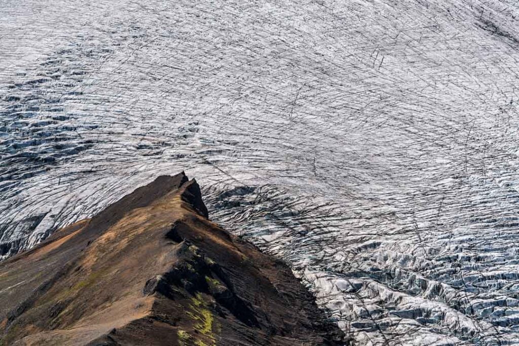
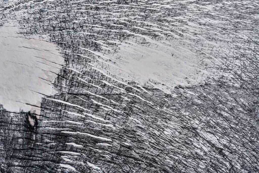
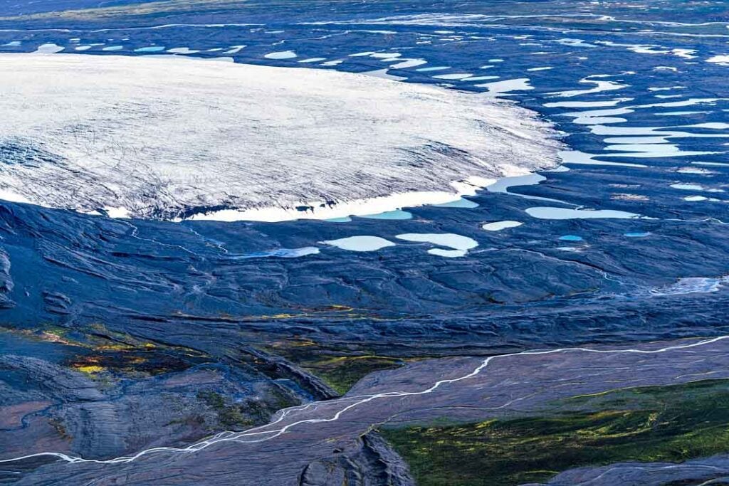
Ísland 16/01/2025 : A7RIII, RX1RII – FE 12/50mm GM, FE 1.4/85 GM, FE 2.8/100mm GM, 2.0/35mm Z
Ljósmyndir & texti : Páll Stefánsson


