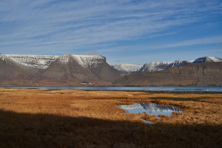
Dýrafjörður lies between Arnarfjörður and Önundarfjörður in the Westfjords. The fjord is over 30 km long, and 9 km wide at the far end. In the middle of the fjord on the south side, under the mountain Sandfell, is the only town in the fjord, the village Þingeyri, which is now part of Ísafjarðarbær, the most populous municipality in the Westfjords. The fjord is named after the Norwegian settler Dýri from Sunnmæri, who built his house at Háls. The Westfjords Alps are south of Dýrafjörður, where Kaldbakur is and it is the highest mountain in the Westfjords. From Þingeyri, and west along the fjord is the most rugged road in the country, Svalvogsvegur, to Lokinhamrar and then to Hrafnseyri by Arnarfjörður, the birthplace of president Jón Sigurðsson. Icelandic Times / Land & Saga made a trip to the west, because few fjords, areas are as fascinating as Dýrafjörður.
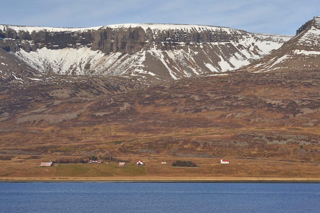
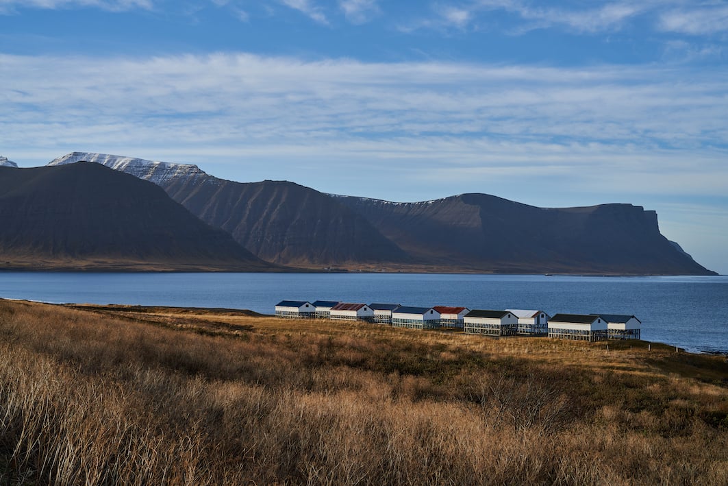
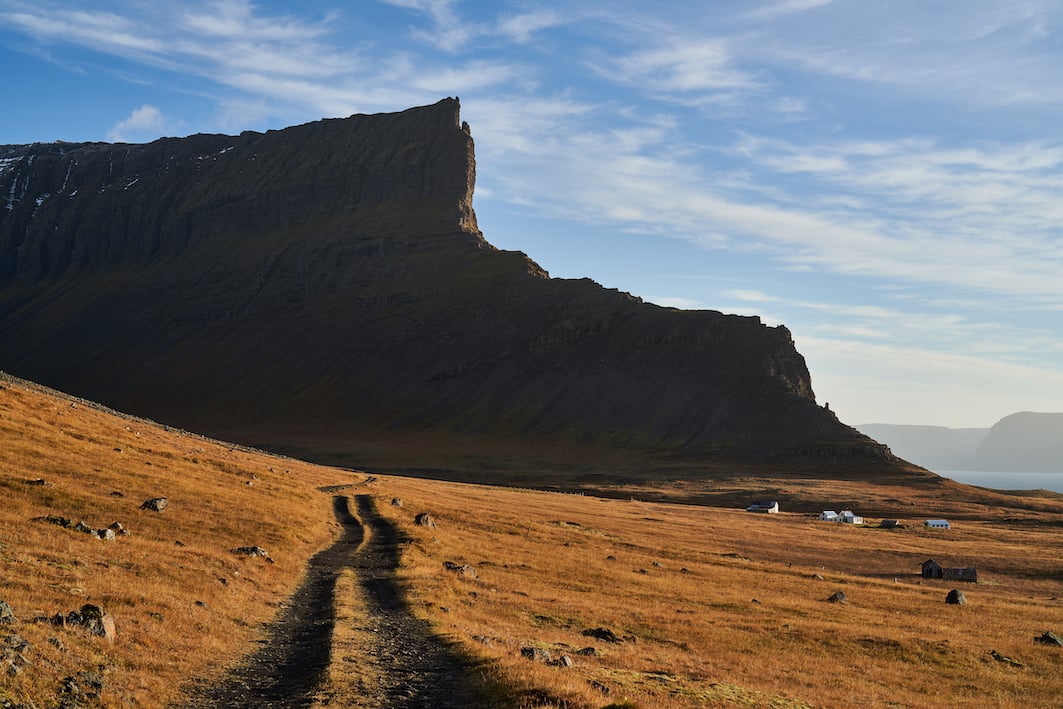
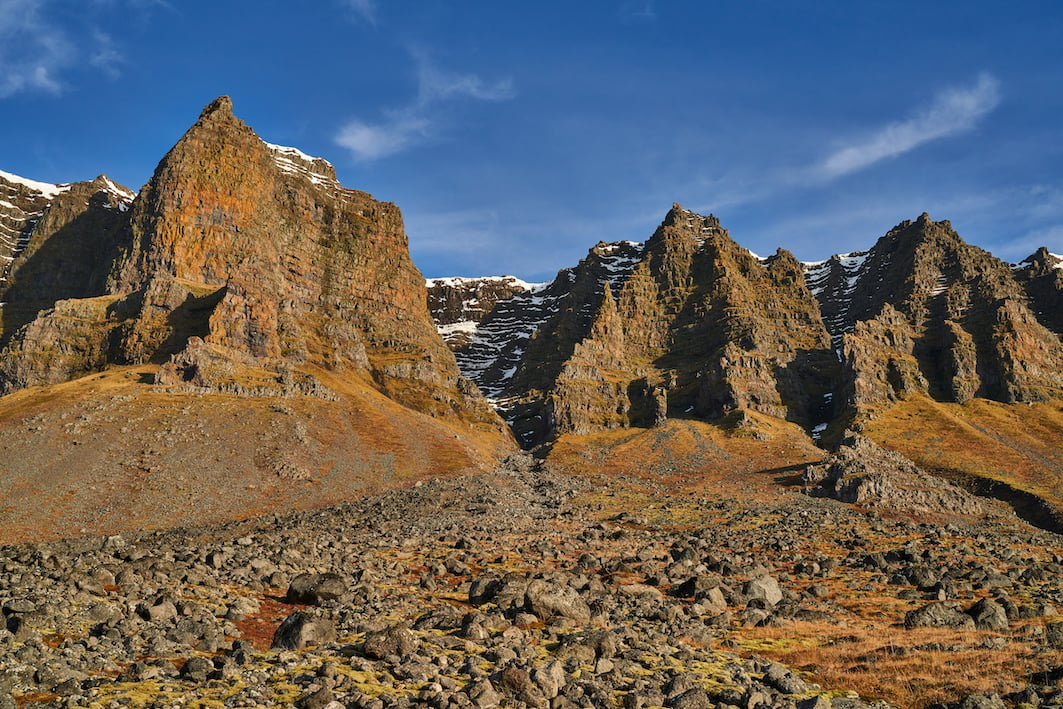
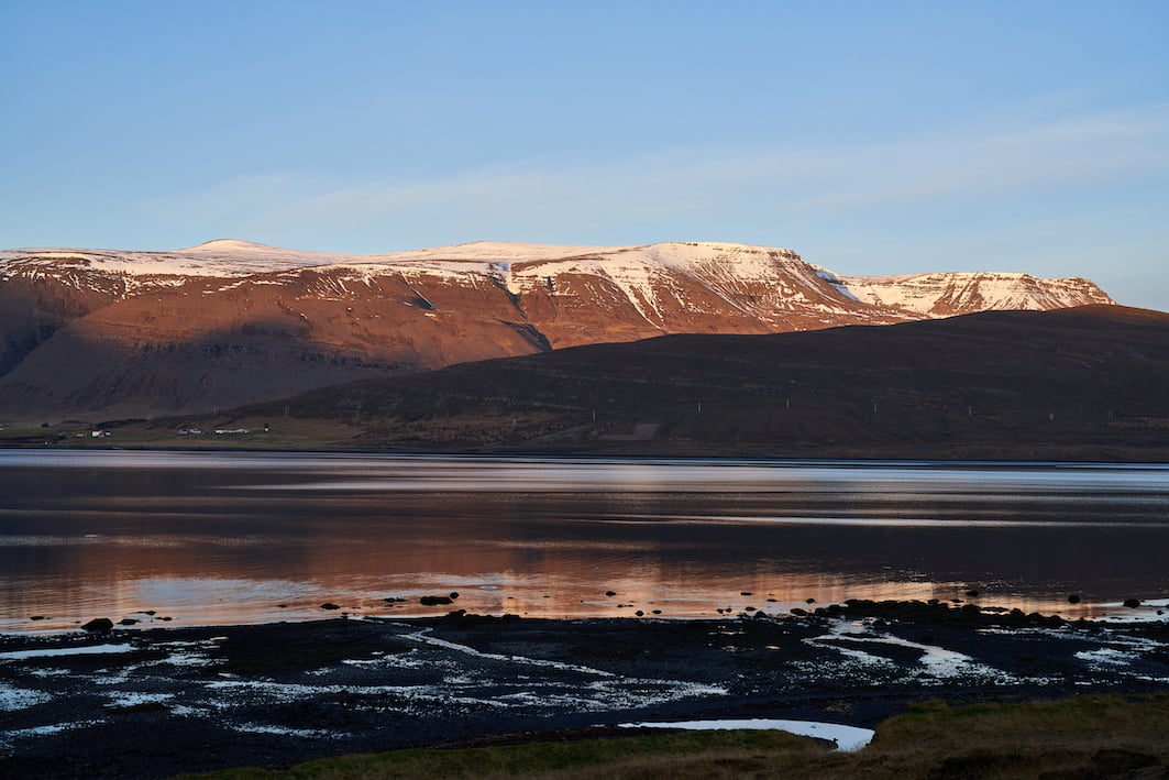
Dýrafjörður 28/10/2022 : AR III, A7R IV – FE 1.8/135mm GM, FE 1.2/50mm GM
Photographs & text : Páll Stefánsson

