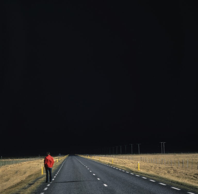
The eruption in Eyjafjallajökull marked a turning point in Icelandic tourism. The eruption, which lasted for five weeks from April 14, 2010, put the country on the global map. Iceland became hot. The year before the eruption, a little over 400,000 foreign tourists visited Iceland. Last year, there were 2.3 million, an increase of nearly two million people. Here we look back at the eruption fourteen years ago, in Eyjafjallajökull, which is 1,666 meters high and has erupted four times since the country was settled: first in 920, then in 1612, in 1821, and most recently in 2010. Eyjafjallajökull [eiːjaˌfjatl̥aˌjœːkʏtl̥], as it is pronounced, is located in the south of Iceland, near Mýrdalsjökull glacier to the east of Fimmvörðuháls. Under that icecap Katla—one of the largest volcanos in Iceland—lies in wait. Katla is overdue, having last erupted in 1918, and it might to go off at any time. When that happens, it will probably result in an event that will make Eyjafjallajökull look like a minor stir in comparison.
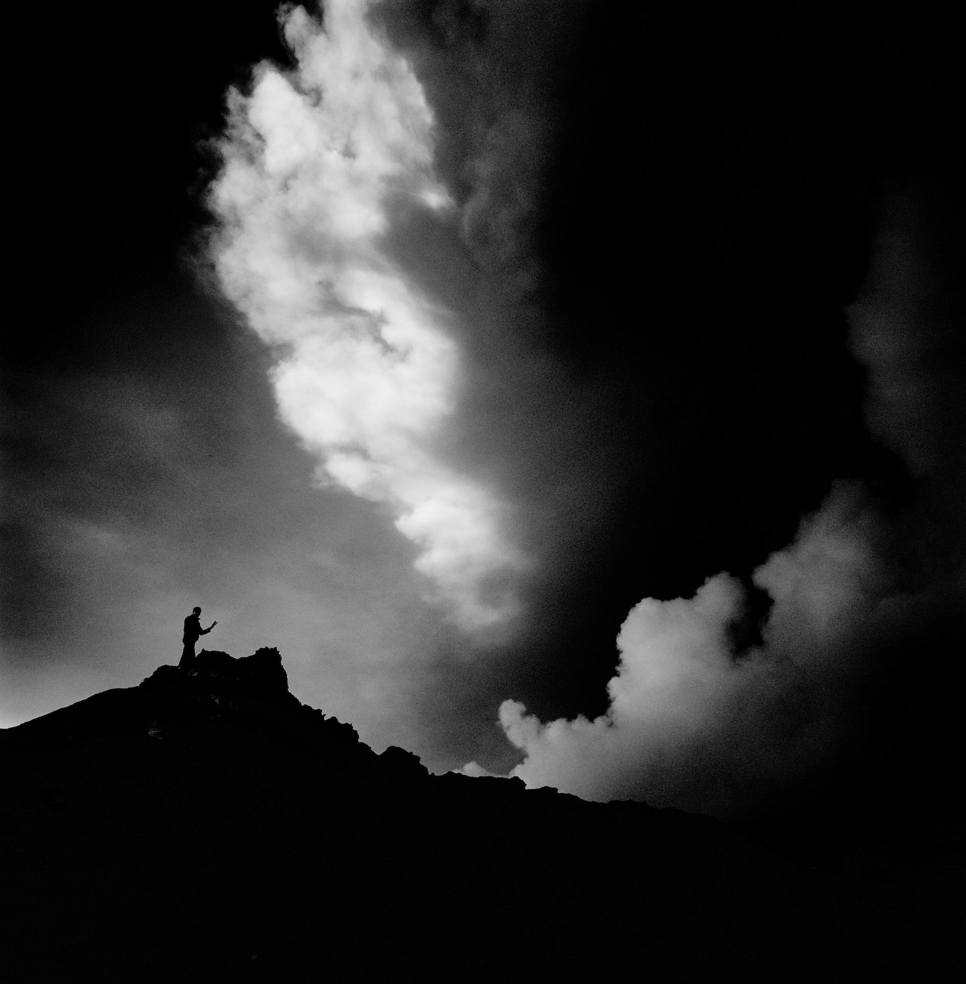
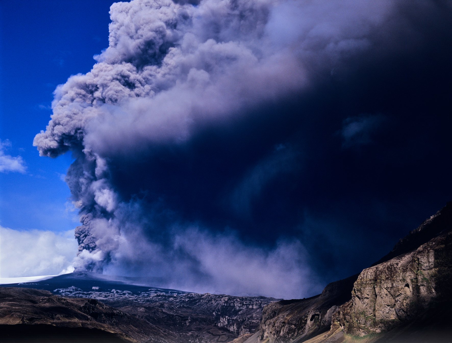
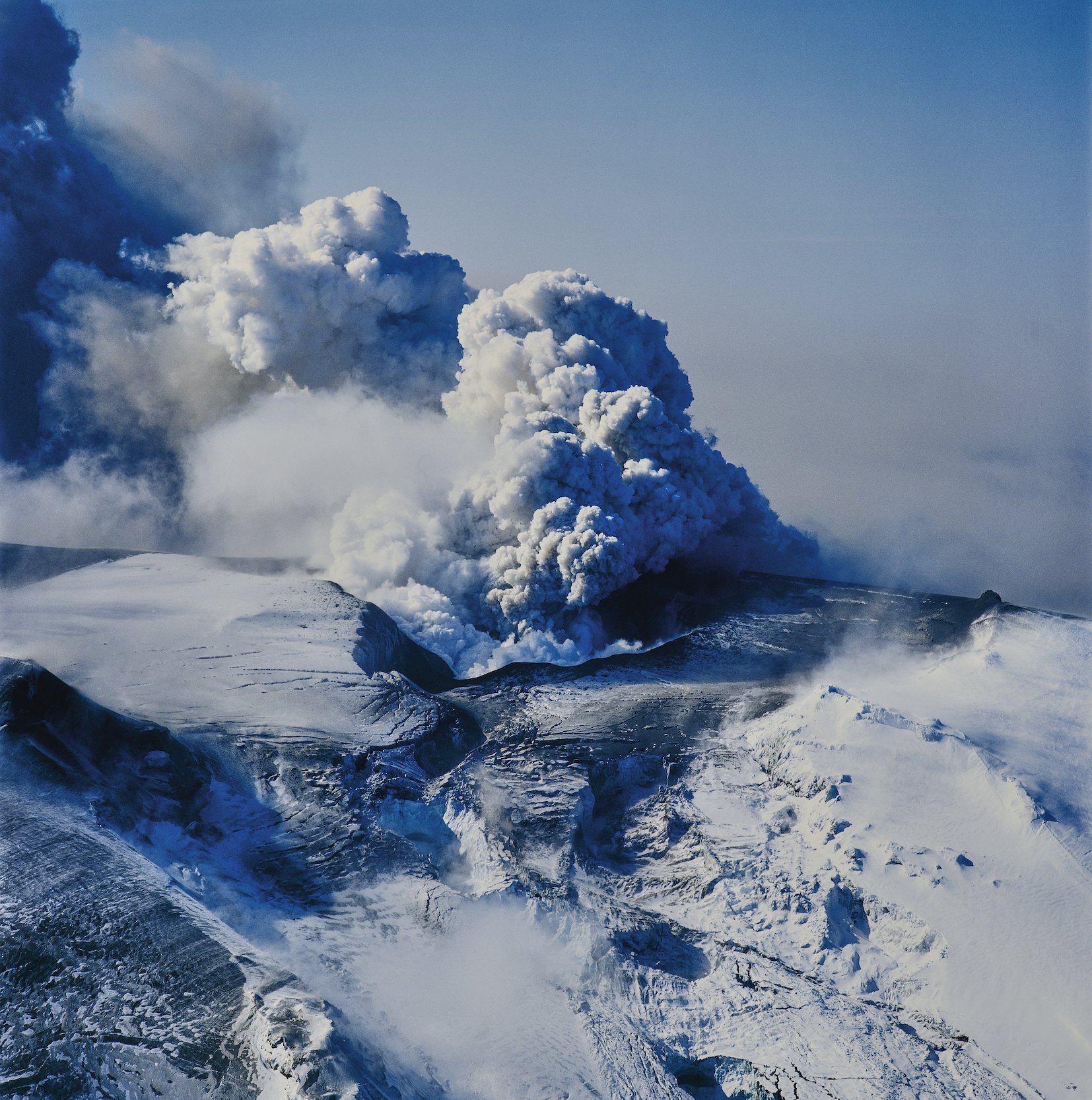
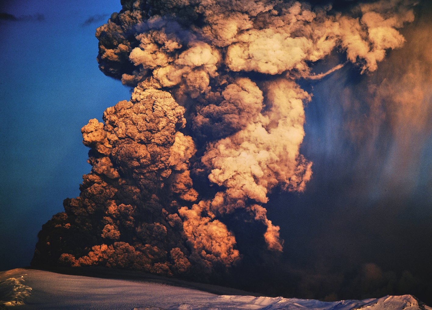
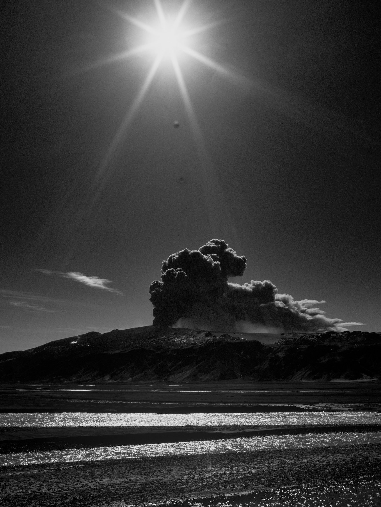

Eyjafjallajökull 10/07/2024 : GX680III, CW503, SWC905
Photos & text: Páll Stefánsson

