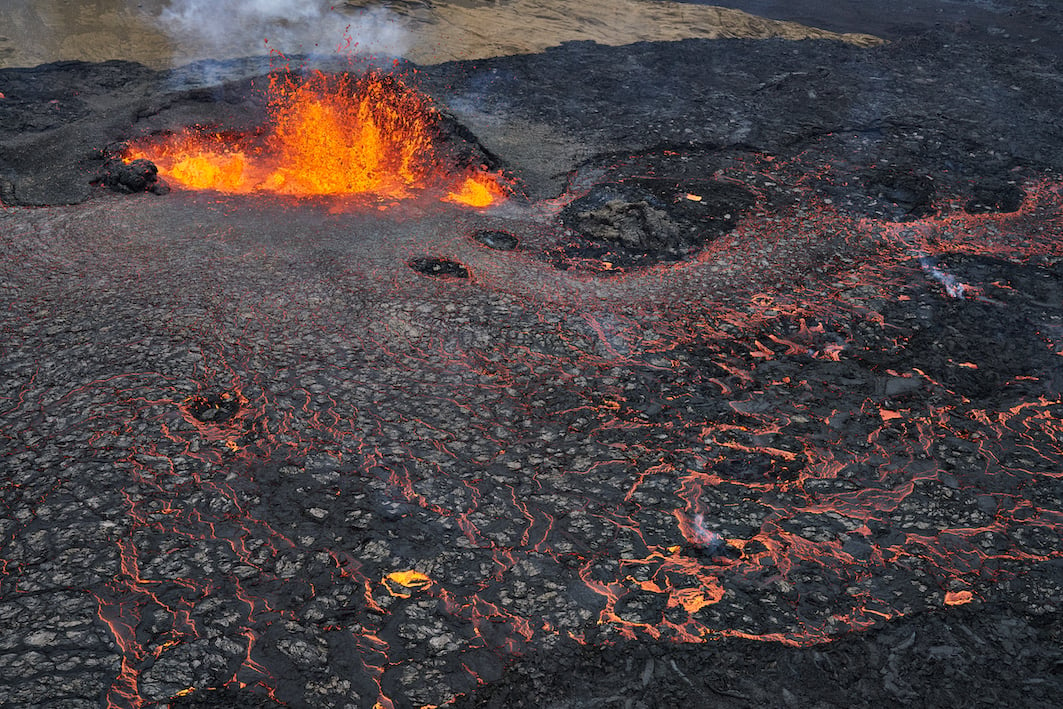
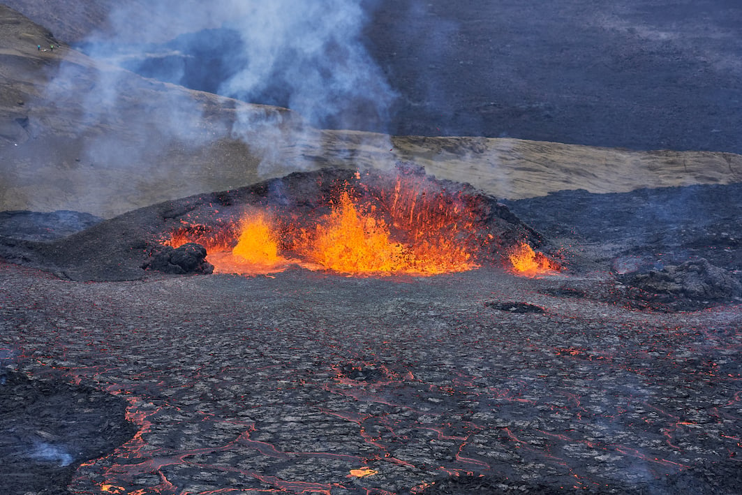
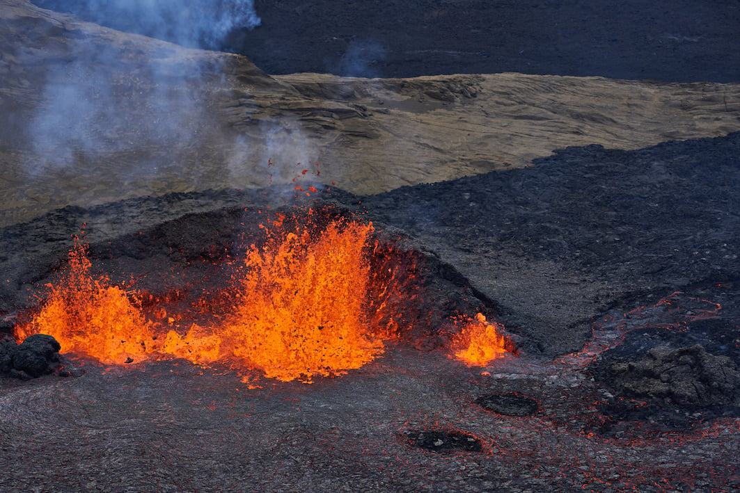
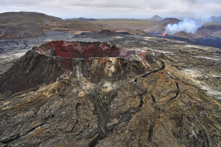
On the 3 rd of August, a little over a year after the eruption in Fagradalsfjall on the Reykjanes
peninsula ended, a new eruption began on the mountain, now in the northern part of
Meradalir, a kilometre north of the old craters. A strong earthquake, as in the previous
eruption, preceded the eruption. The current eruption is considerably more powerful, with
lava flows more than five times greater from the new fissure than in last year’s eruption. It
is also much longer for hikers to walk to the new eruption than to the previous one. It’s now
a 7 km long walk that takes three hours, as the terrain is very difficult and rocky to traverse.
Children under the age of 12 are not allowed up to the site, as the hike is only for fully fit
people. The lava from the eruption could potentially flow over and cut the southern coastal
road, which connects Þorlákshöfn, Grindavík and Hafnarfjörður soon. An Icelandic Times /
Land & Saga photographer flew over the eruption, capturing these images. Enjoy.

year’s eruption


the area, since the eruption site was closed for two days due to the weather
Reykjanes 10/08/2022 : A7R IV, A7R III, A7C : FE 1.2/50mm GM, FE 1.8/135 GM, FE 1.4/24 GM
Ljósmyndir & texti : Páll Stefánsson


