Torfajökull volcano system
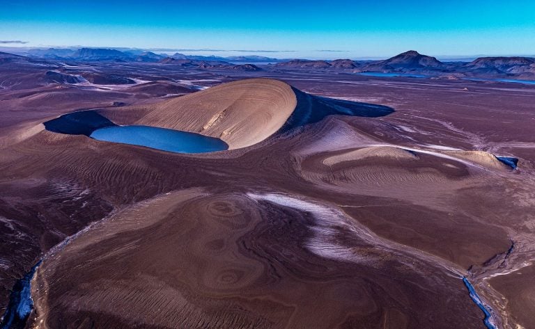
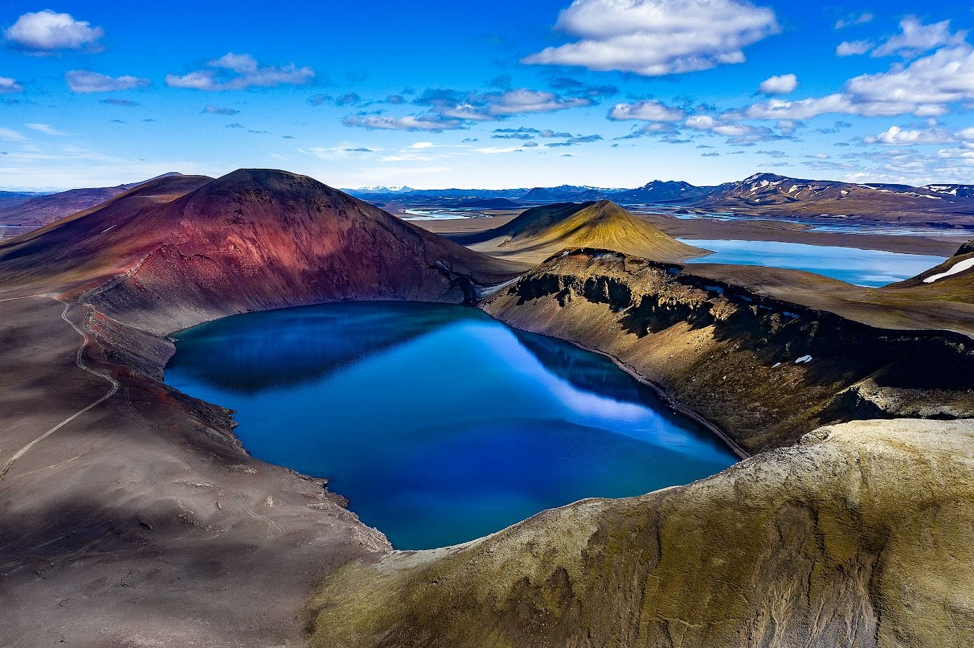
The Torfajökull volcano system has been quiet for the last centuries and decades but recently there have been news of the area is coming back to life, the land has been rising and there’s an increased frequency of earthquakes. Therefore it is a not a bad idea to take a look at glimpses of the eruption history of the last centuries with some photos of the area that I have taken over the last 30 to 40 years.
Torfajökulsaskjan
On the southern side of the highlands, north of Mýrdalsjökull, there is a large volcano that has been named Torfajökull. The volcano is characterized by a large caldera and its diameter is about 18 km in the E-W direction and about 12 km in the N-S direction. The area is about 150 km2. Torfajökull lies on the southeast edge of the caldera, while Landmannalaugar lie on the northern edge. Hrafntinnusker is near the center of the caldera. The area around Örfajökull is the largest lhyolite region in the country with an extremely colorful landscape and unparalleled natural beauty. Inside the caldera you can find the largest and most powerful geothermal area in the country.
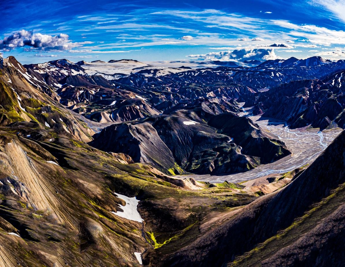
The geothermal area
In total, the geothermal area covers more than 100 km2. There are diverse conditions on the surface, which produce many types of hot springs and pools in the area, e.g. clay hot springs, water hot springs, steam hot springs, sulfur tufts and chemically ultered grounds. In many places there are warm mineral springs and at the edge of the high temperature zone there are carbonic acid hot springs and warm pools. The best-known part of the geological area is Landmannalaugar, which is only a small part of it.
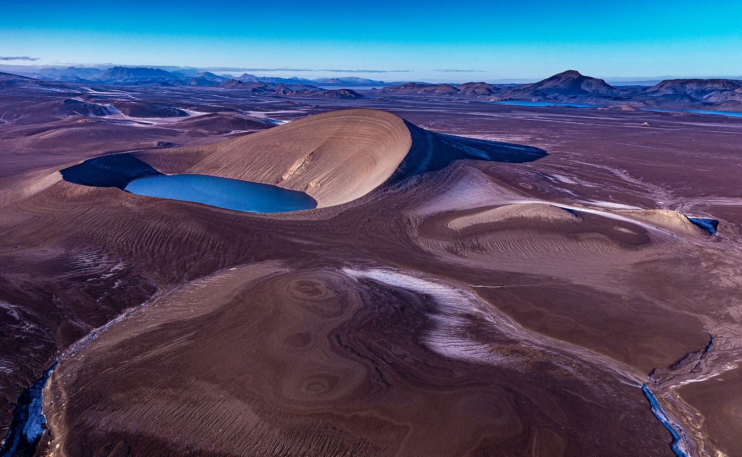
Bárðarbunga’s volcanic system
Interestingly, modern volcanic eruptions in that area have occurred as a result of lavatunnel intrusions from nearby volcanic systems. Fissures that have torn to the southwest from Bárðarbunga have managed to extend into the magma chamber under the Torfajökull crater and cause volcanic eruptions there. Volcanic eruptions of this nature have occurred twice since around and after settlement.
The Vatnaalda eruption
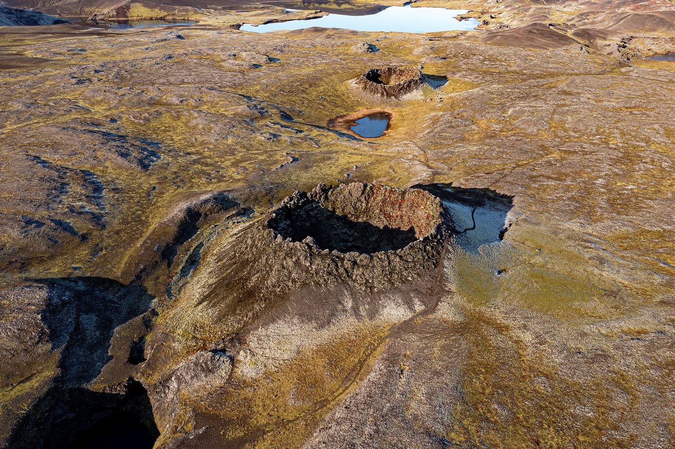
Around 870, a large volcanic eruption occurred in the southwestern part of Bárðarbunga, this volcanic activity extended into the Torfajökull caldera and further to the southwest. In the eruption, a huge amount of tephra came up that covered more than half of the country. The tephra layer that came from that eruption has been called the settlement layer due to the timing close to the beginning of the settlement in Iceland. The crater series Vatnaöldur was formed together with Hnausapollur, and within the caldera Hrafntinnuhraun was formed. Laufahraun also flowed in this eruption southwest of Laufafell.
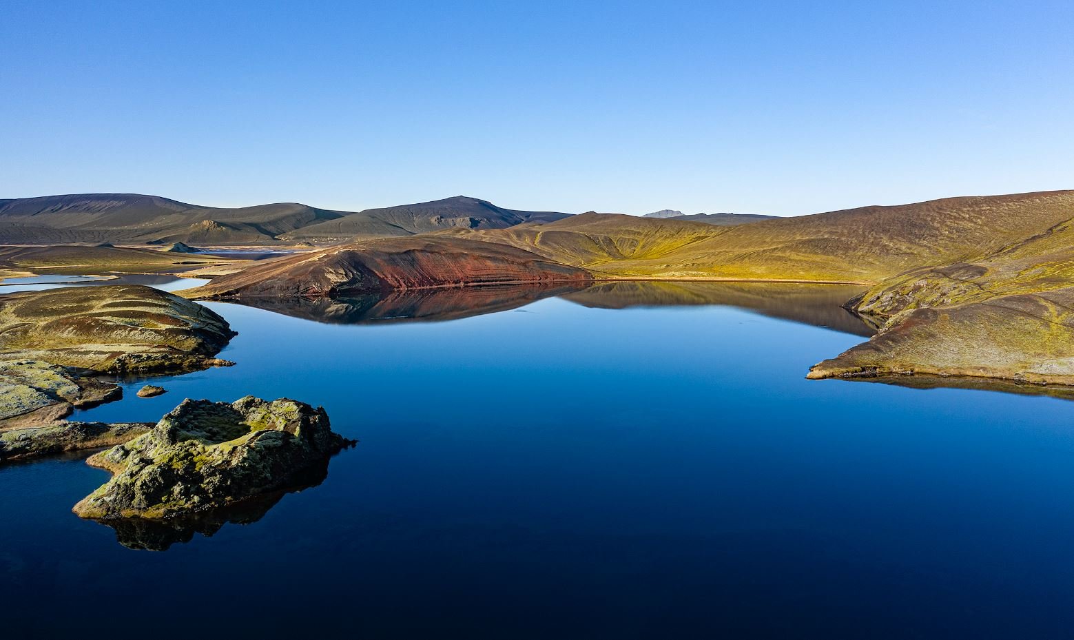
The Veiðivötn eruption
In 1477 there was an eruption in Bárðarbunga and also a large volcanic eruption in the southwest part of the volcanic system. As before, the eruption stretched into the Torfajökull caldera. A massive tephra eruption occurred in Veiðivötn, but south of Tungnaá Ljótipollur was formed and in the Torfajökull area Laugahraun, Námsraun and other lavafields were formed. At that time Landmannalaugar came into being, roughly in its current form.
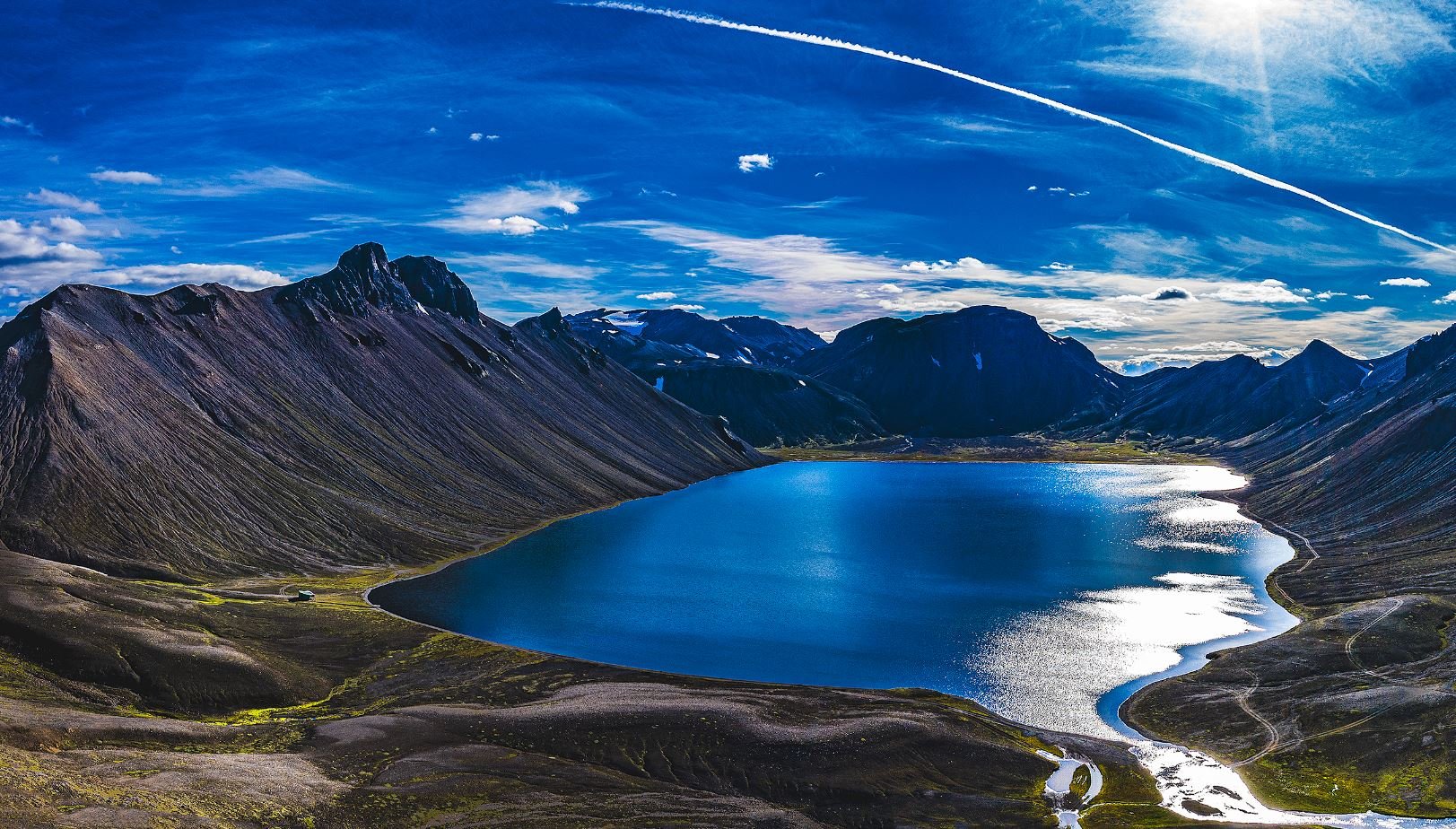
The great Þjórsárhraun
The largest volcanic eruption in the Bárðarbunga volcanic system in modern times occurred around 8600 years ago, approx. in the area where Vatnaöldur are located today. Lava flowed down along Tungnaá and Þjórsá rivers from above and down into Þjórsárdalur and Landsveit. The lava flowed down to the lowlands of Skeiðar and to the sea in Flóinn . When the lava flowed, the sea level was about 15 m lower than it is now, and therefore the lava flowed far beyond the current beach, where there are now cuts in front of the beach, as can be seen at Eyrarbakki and Stokkseyri. In total, this great lava flowed over 120 km to the sea.
Eruption
It is difficult to say when an eruption will begin in the area or where and how big the eruption or eruptions are going to be. Still. eruptions in this area keep the country’s steady formation going.
