
The Department of Civil Protection and Emergency Management , which reports to the Commissioner of the National Police, was established by a law from Alþingi 1962. The DCPEM, organizes and implements measures aimed at preventing and limiting, as far as possible, the public suffering bodily or other health damage, or environment or property being damaged by natural or man-made disasters, epidemics or military operations or any damage for any for other reasons and provide relief in distress and assistance due to damage that may occur or has occurred.
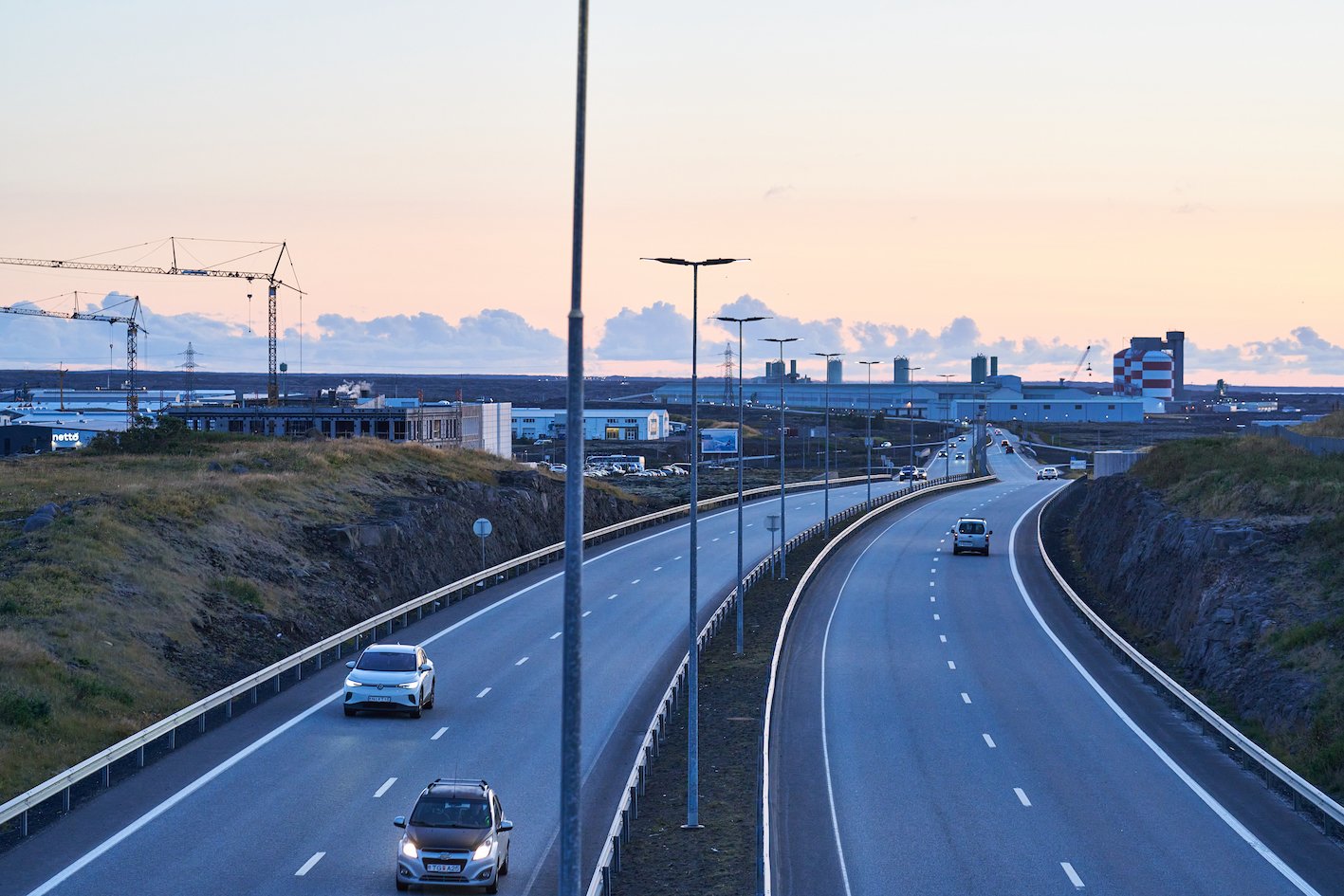
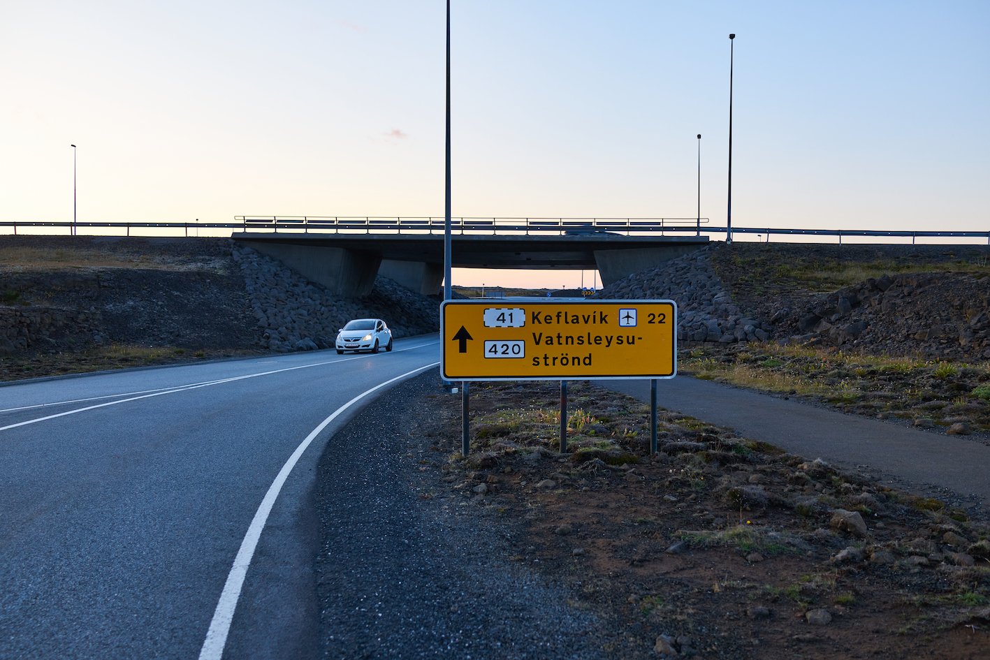
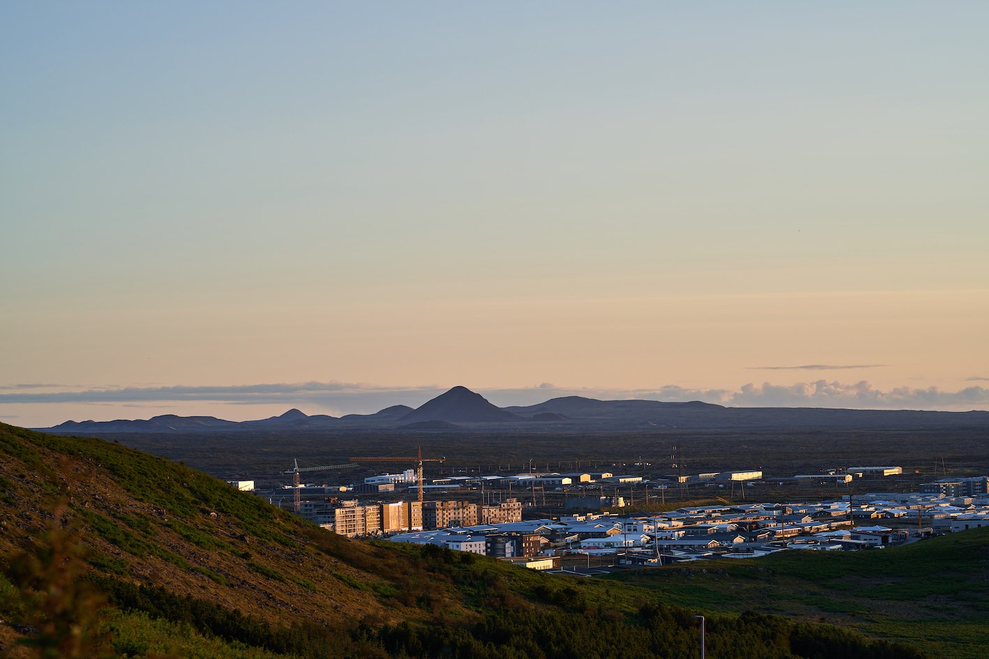
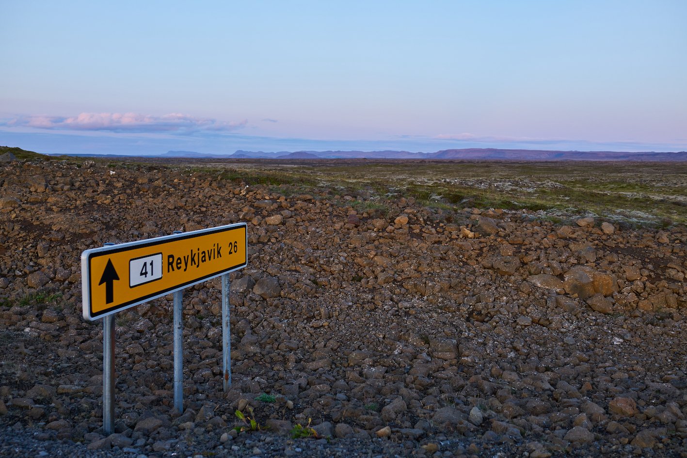
There is a lot of pressure on DCPEM, the organization was at the forefront of operations related to Covid-19, and now there have been three volcanic eruptions in as many years in Reykjanes. They had to close off areas and closely monitor gas pollution, ash and lava flow, where and if it threatened structures or settlements. The latest news is that the geothermal heat and land are rising again east of Keilir, even closer to the capital area. If it erupts there, lava is likely to flow north towards road 41, Reykjanesbraut, which connects the capital area and the international airport in Keflavík, and Reykjanesbær, Iceland’s fourth largest town.
Land & Saga investigated whether and what measures are in place in the event of an eruption in that area. Hjördís Guðmundsdóttir from DCPEM told us that both engineering firms and geoscientists have prepared models and maps for the them, on the possible lava flow, but…. since nature is so unpredictable it is never possible to have a perfect plan. There are so many uncertainties, where the eruption occurs, how big it is, whether it is accompanied by a large upwelling of gas or ash. So there really is no plan… until it erupts. But we have learned a lot in these three eruptions, lessons that will help us a lot, when or if it starts erupting there again. If, unfortunately, Reykjanesbraut were to close, today the alternative route, Suðurstrandarvegur, is much longer but transport would still be possible even if Reykjanesbraut got burried under the lavaflow.
Photographs & text: Páll Stefánsson
Reykjanes 11/09/2023 : RX1R II, A7R IV : 2.0/35mm Z, FE 2.8/100 GM
