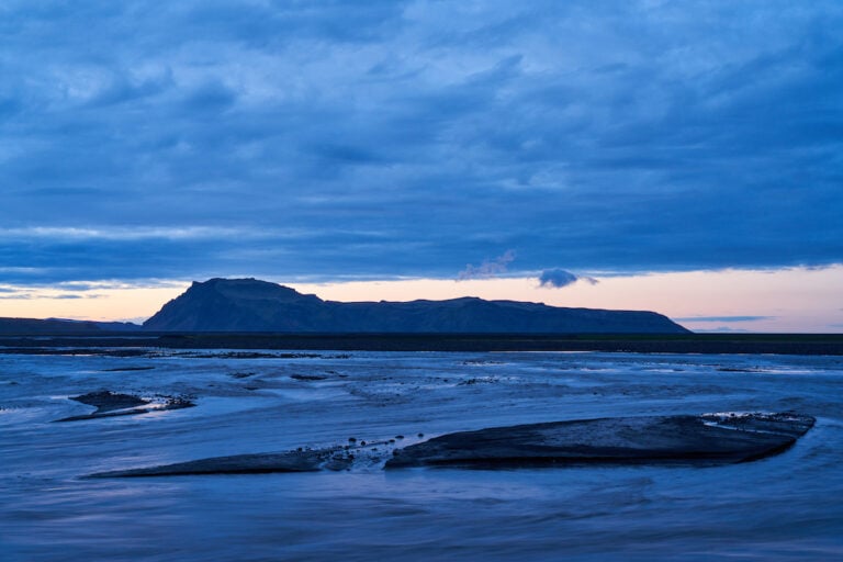
One of the most beautiful regions of the country is Vestur-Skaftafellssýsla, the easternmost part of Suðurland. There are two villages in the county, Vík i Mýrdal and Kirkjubæjarklaustur. There are many natural wonders located in the county, such as Dyrhólaey, the southernmost part of Iceland, Reynisfjara and Reynisdrangar, Mýrdalsjökull with the volcano Katla as its highest point. On a plateau, north of Kirkjubæjarklaustur, there are Lakagígar, but in a giant eruption, Skaftáreldar, which began in June 1783, Eldhraun was formed, the largest lava that has flowed in historical time. The lava, which covers 600 km² of land, which is as large a land area as Mýrdalsjökull, buried a number of farms. During the eruption, which lasted for almost 2 years, 135 craters formed, but ash and volcanic fumes caused a lot of mist and fog over Iceland. A lot of pollution followed the haze, which caused poisoning in the vegetation, so the livestock in Iceland could not survive. It resulted in famine and disaster, these were called Móðurharðindin, the greatest hardships that have befallen Icelanders. The Great Fog also spread to Europe and North America, causing massive hardships and famine throughout the world. Icelandic Times / Land & Saga ventured east in Vestur-Skaftafellssýsla though the weather forecast was bad to capture different images of the country.
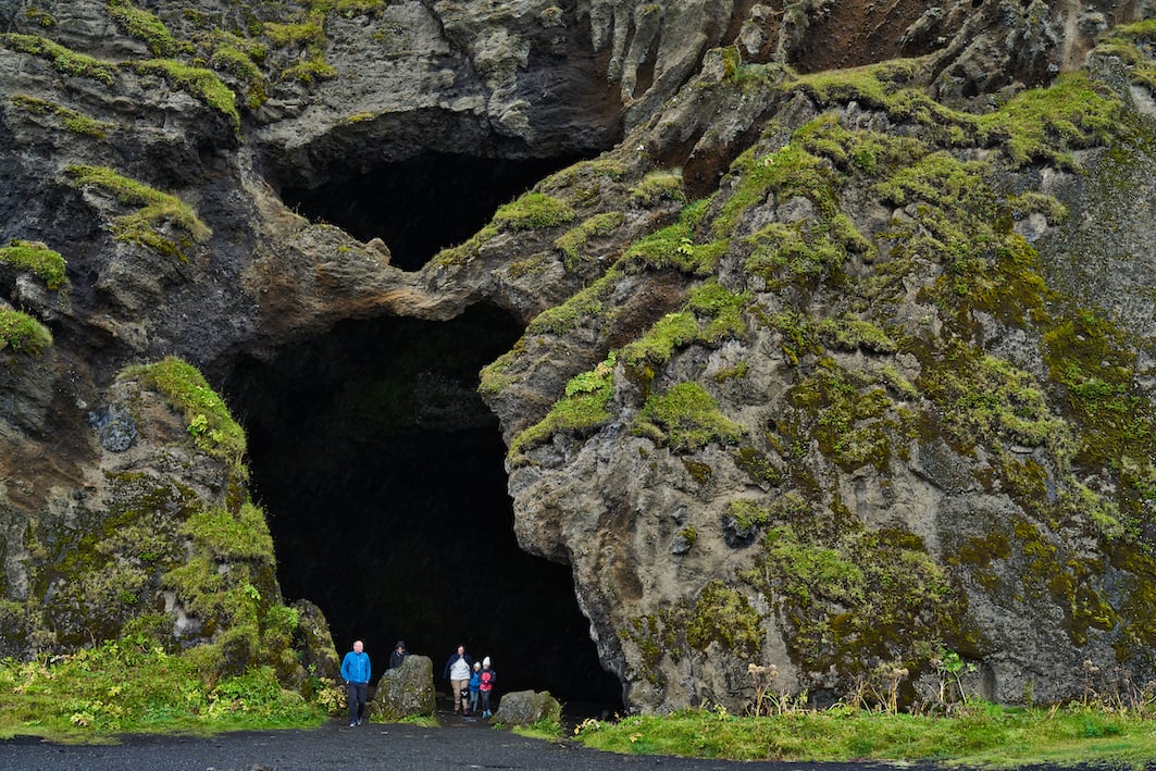
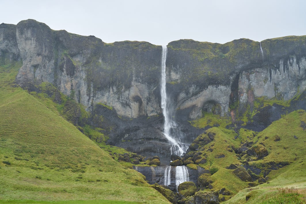
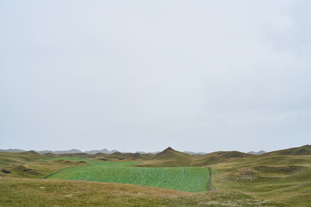
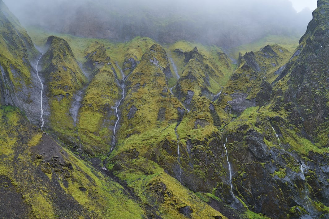
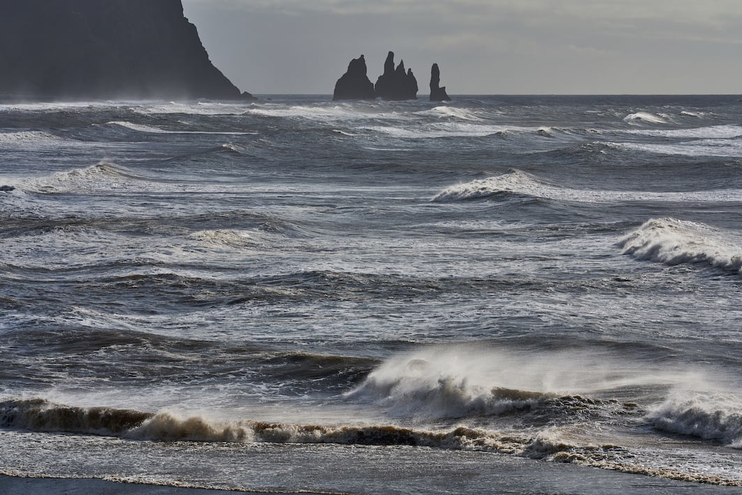
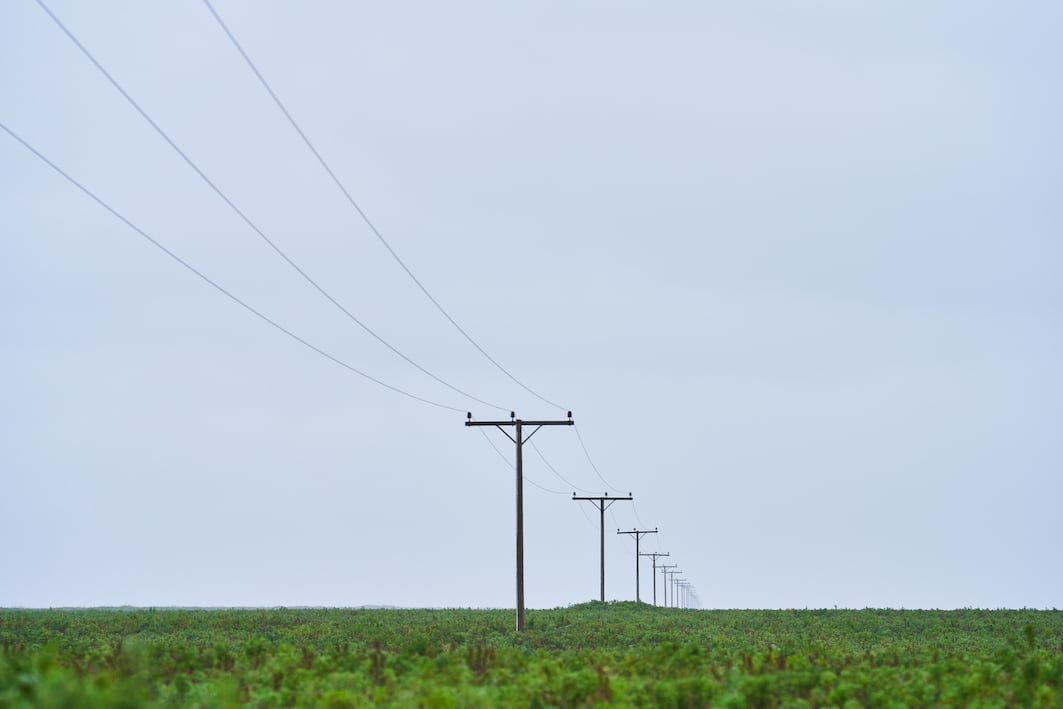
Vestur-Skaftafellssysla
17/08/2022 : RX1R II, A7R IV: 2.0/35 Z, FE 1.2/50 GM, FE 1.8/135mm GM, FE 2.8/100mm GM Photographs & text: Páll Stefánsson

