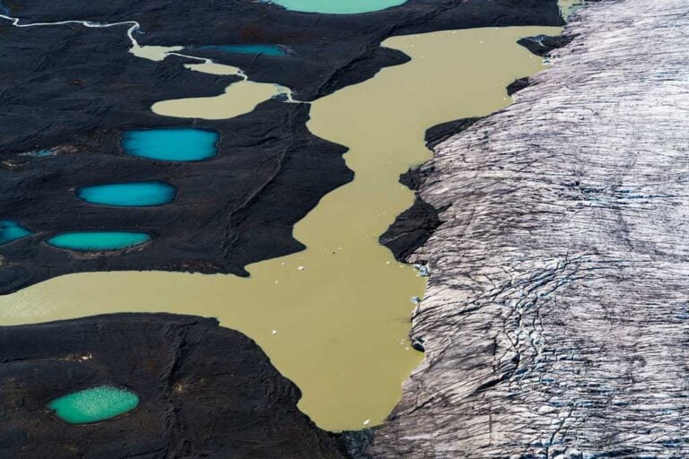
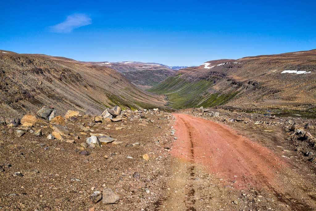
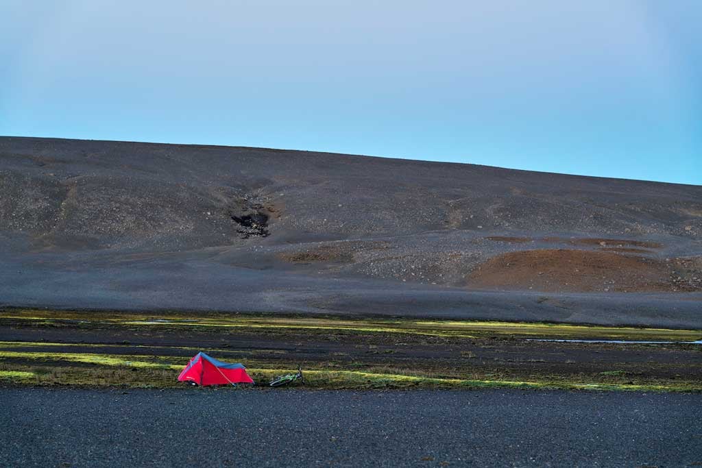
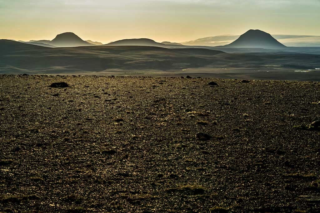
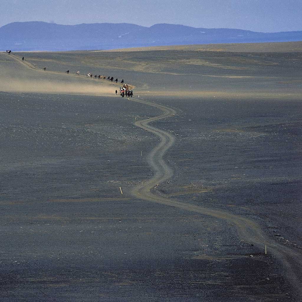
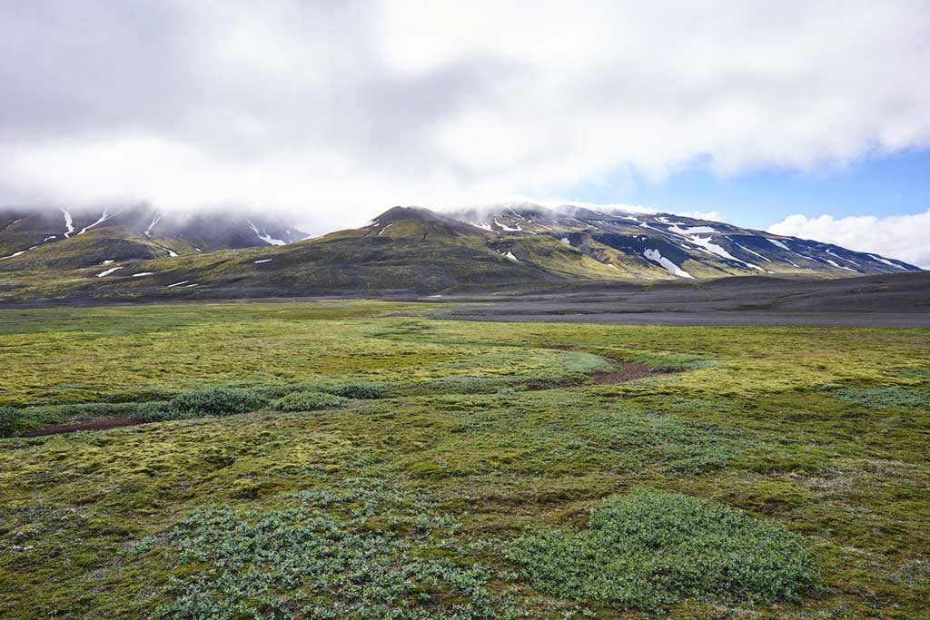
The geographical center of Iceland is Sprengisandur, a desolate highland plateau in the heart of the central highlands. An ancient mountain route crosses Sprengisandur, connecting the north and south of the country. Today, this route is a jeep trail passable only in the height of summer, stretching from Thjórsárdalur in the south to Bárdardalur and Eyjafjördur in the north. Sprengisandur lies between Hofsjökull to the west and Vatnajökull to the east, and it is where the Thjórsá River, Iceland’s longest river, originates. This river generates the majority of Iceland’s hydropower. The mouth of Thjórsá is just west of the village Hella in the south. The Fnjóská River, Iceland’s largest spring-fed river, which flows north into Eyjafjördur, also has its source in Sprengisandur. In the middle of Sprengisandur is Tungnafellsjökull, a prominent landmark, and surrounding it and in Thjórsárver east of Hofsjökull are unique oases of vegetation in the central highlands, encircled by barren land and glaciers.
Sprengisandur 31/08/2024 : A7RIII, RX1RII, A7CII – 2.0/35mm Z, FE 1.4/85mm GM, FE 2.8/90mm G, FE 1.2/50mm GM – Photos & text : Páll Stefánsson

