

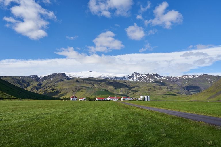
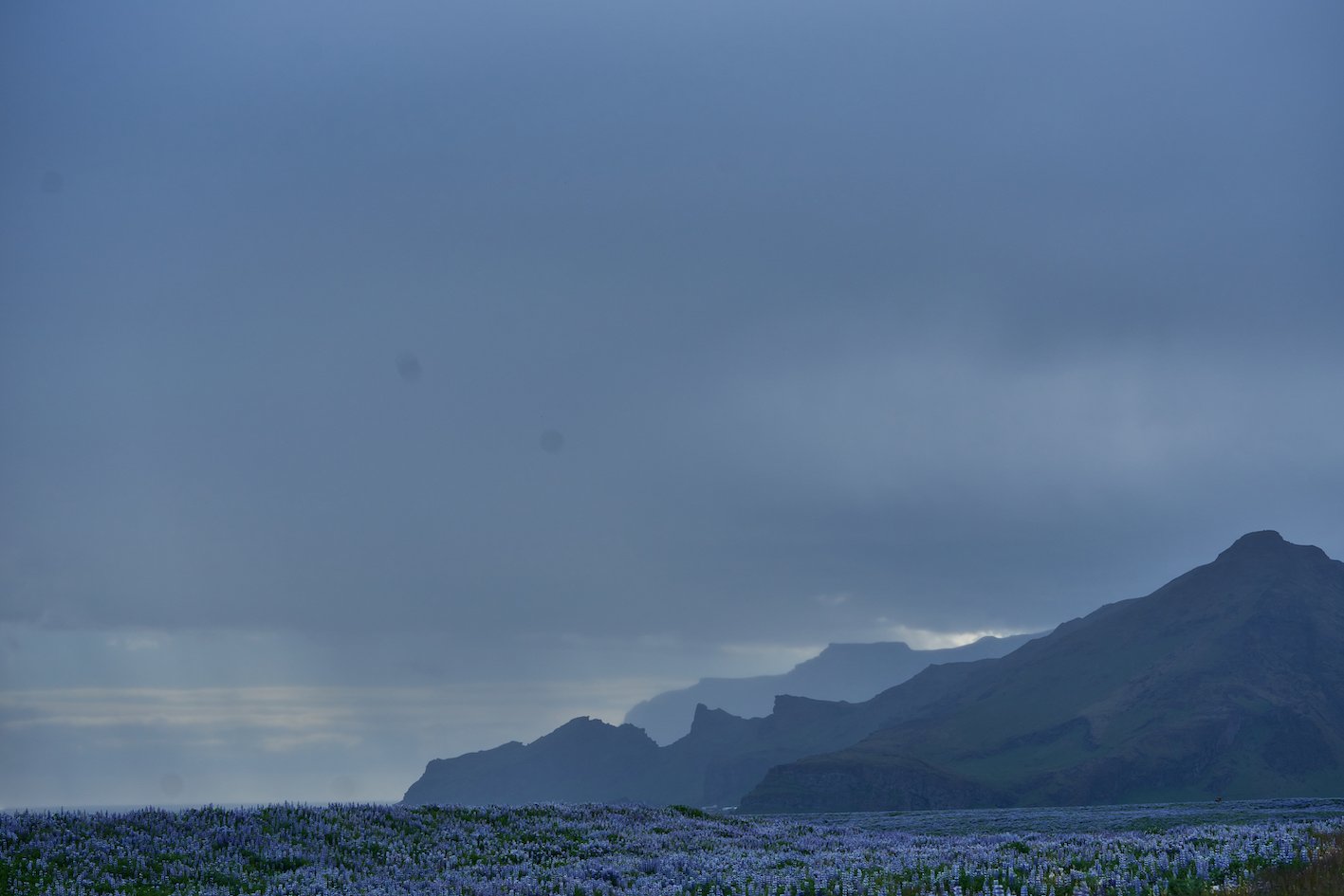
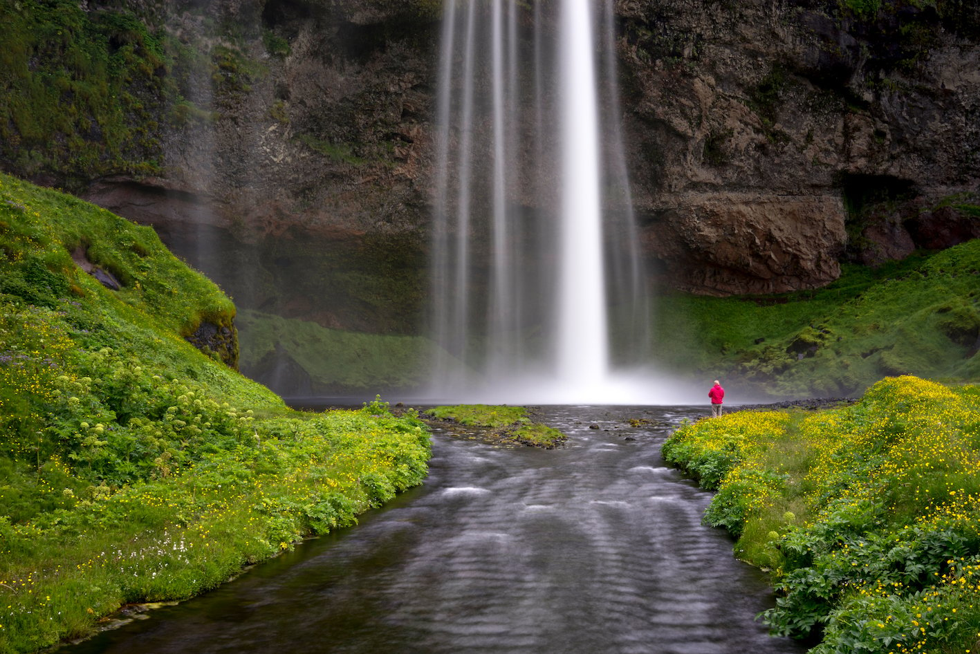
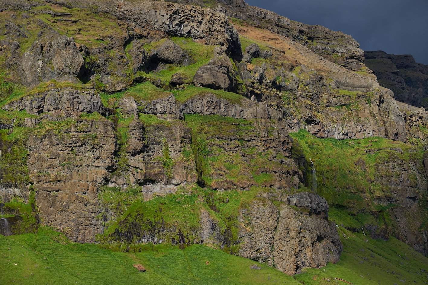
To the east in Rangárvallasýsla county, from Markarfljót in the west to Jökulsá on Sólheimasandur, are the Eyjafjöll mountains. These tuff mountains are so beautifully green, and above them is the white cap of Eyjafjallajökull. One of the most beautiful regions in the country, and the weather doesn’t spoil it either, as it greens earlier in the spring than in most other regions of the country. This is because the area is one of the southernmost in Iceland. From Reykjavík, it’s just over an hour-and-half drive along the southern lowlands to Seljalandsfoss, which is visible from Ring Road 1, heading east. The name Eyjafjöll comes from the fact that the mountains are so beautifully visible from Vestmannaeyjar, and there has been significant interaction between the mainland and the islands over the centuries.
The area is one of the most volcanically active in the country, with Eyjafjallajökull last erupting in a major ash eruption in the spring of 2010. The glacier is the fifth largest in the country. One of the better museums in the country, Skógasafn, was founded in 1949 and showcases the cultural heritage and livelihoods in Rangárvalla- and Vestur-Skaftafellssýsla counties in earlier centuries. The museum is just east of Skógafoss. From there, one of the most popular hiking trails in the country leads over Fimmvörduháls ridge, between Eyjafjallajökull and Mýrdalsjökull glaciers, down into Thórsmörk.
Eyjafjöll 14/06/2023: A7RIII, A7C, RX1R II: FE 2.8/100mm GM, FE 1.8/20mm G, FE 1.2/50mm GM, FE 1.4/24mm GM, FE 2.8/90mm G
Images & text: Páll Stefánsson
