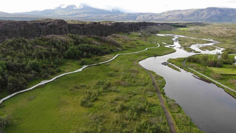
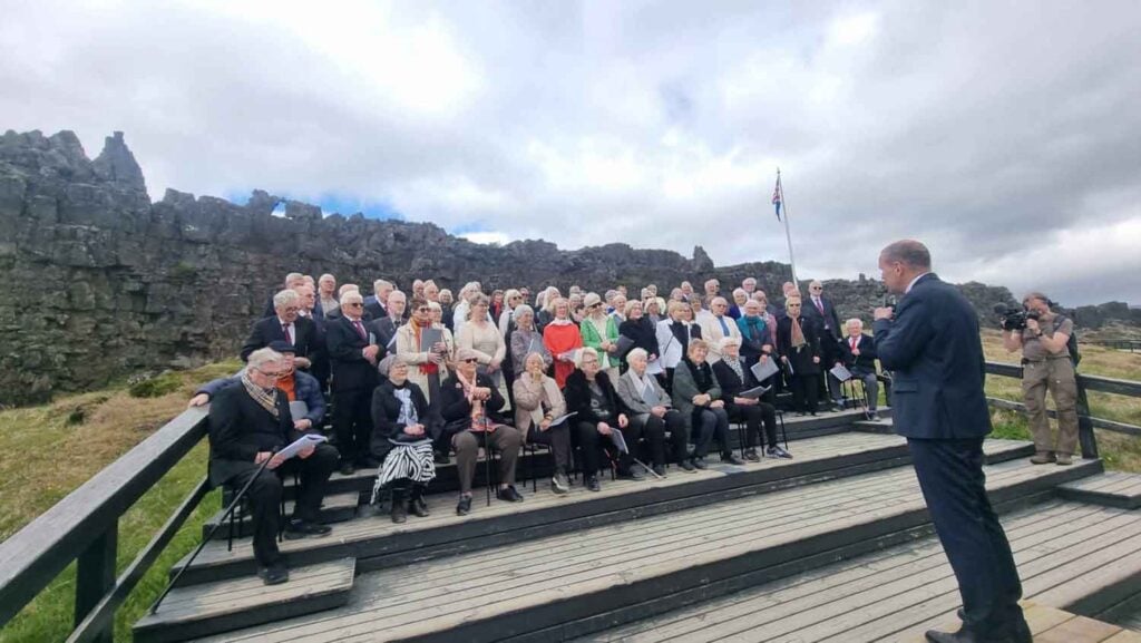
Þingvellir national park was established by law, passed in 1928. According to them the protected area shall always be the property of the Icelandic nation, under the preservation of the Alþing. Today, the national park is 228 km² and stretches from the northern shoreline of Þingvallvatn towards the mountain range that surrounds the site.
A Historical Site
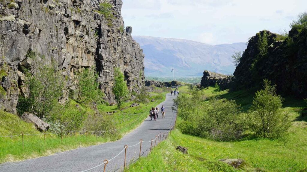
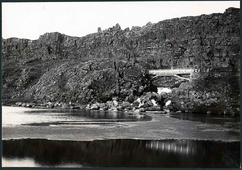
No single place epitomizes the history of Iceland and the Icelandic nation better than Þingvellir by the river Öxará. At Þingvellir – literally “Assembly Plains” – the Alþing general assembly was established around 930 and continued to convene there until 1798. A rift valley with its high cliffs makes Þingvellir National Park a magnificent natural backdrop for the open air parliamentary assembly.
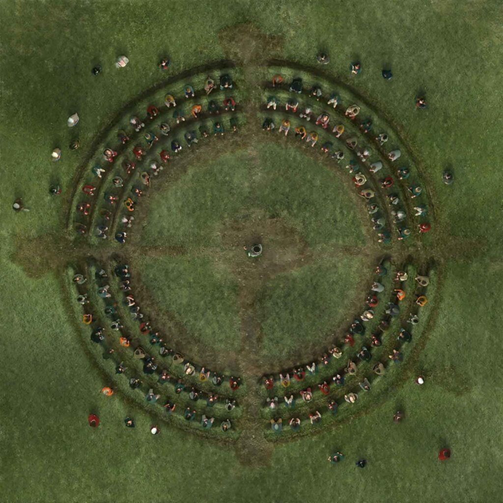
Major events in the history of Iceland have taken place at Þingvellir and therefore the place is held in high esteem by all Icelanders. Over two weeks a year, the assembly set laws, seen as a covenant between free people and settled disputes. During the days that the Alþing was held, it was the centre of social life and a kind of capital of the country that the public visited. Labourers and traders, both Icelandic and foreign, went there, along with delegates of foreign heads of state, people in search of work, and beggars looking for alms. It’s not an overstatement to say that the foundation of the Icelandic national culture, language, and literature was laid at Þingvellir. It´s dramatic history dating back to the establishment of the Alþing gives insight into how a Viking Age pioneer community organized its society from scratch and evolved towards the modern world.
Through remains of the assembly ground and landscape a unique reflection of medieval Norse-Germanic culture and one that persisted in essence from its foundation in 930 AD until the 18th century can be found here at Þingvellir.
Ever Changing Nature
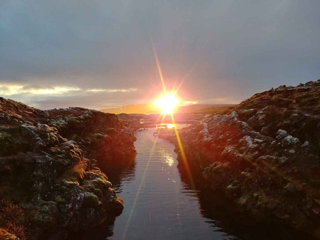
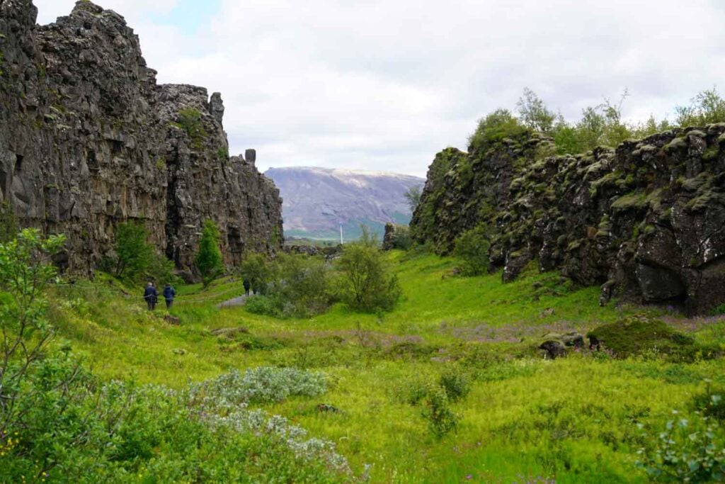
Earthquakes in Iceland are a result of movement of the Eurasian and North-American plate boundaries that run through Iceland. In the south, the plates inch past each other, but at Þingvellir, they break apart and the land between subsides and forms a rift valley. Away from the plate boundaries the activity is fairly constant, about two centimetres a year, but, in the rift zones themselves, tensional stress accumulates during a long period and is then released in a burst of activity when fracture boundaries are reached. The most recent burst of activity swept over Þingvellir in spring 1789. In the last 2000 years the land subsidence has been about 40 metres and the spreading or rifting about 70 metres.
The close relationship between the ecosystem of lake Þingvallavatn and geological history gives Þingvallavatn a special place amongst the world’s lakes. About 9/10 of the water influx in Þingvallavatn runs along underground channels to the lake. The majority of the lake catchment area is covered by lava and water easily drains through. Land subsidence, rifting and lava have created a diverse habitat, for instance hideouts for fish in fissures and holes along the shoreline. The lake is particularly fertile and rich in vegetation, despite the very cold temperatures.
In the lake are three types of fresh water fish; brown trout, arctic charr and the three-spine stickleback. It’s said that these fish became isolated in the lake in the wake of the last ice age when the terrain rose at the south end of Þingvallavatn. The fish has adapted to different areas of the lake and for example four morphs of arctic char can be found in the lake along with varying populations of brown trout.
A Symbol of Independence
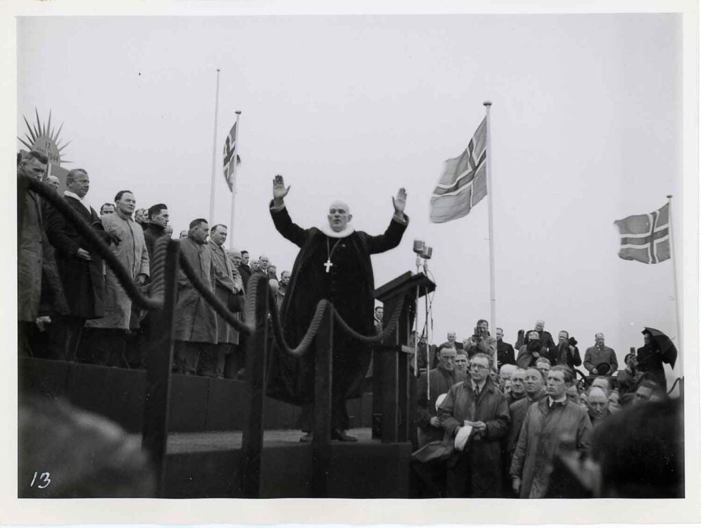
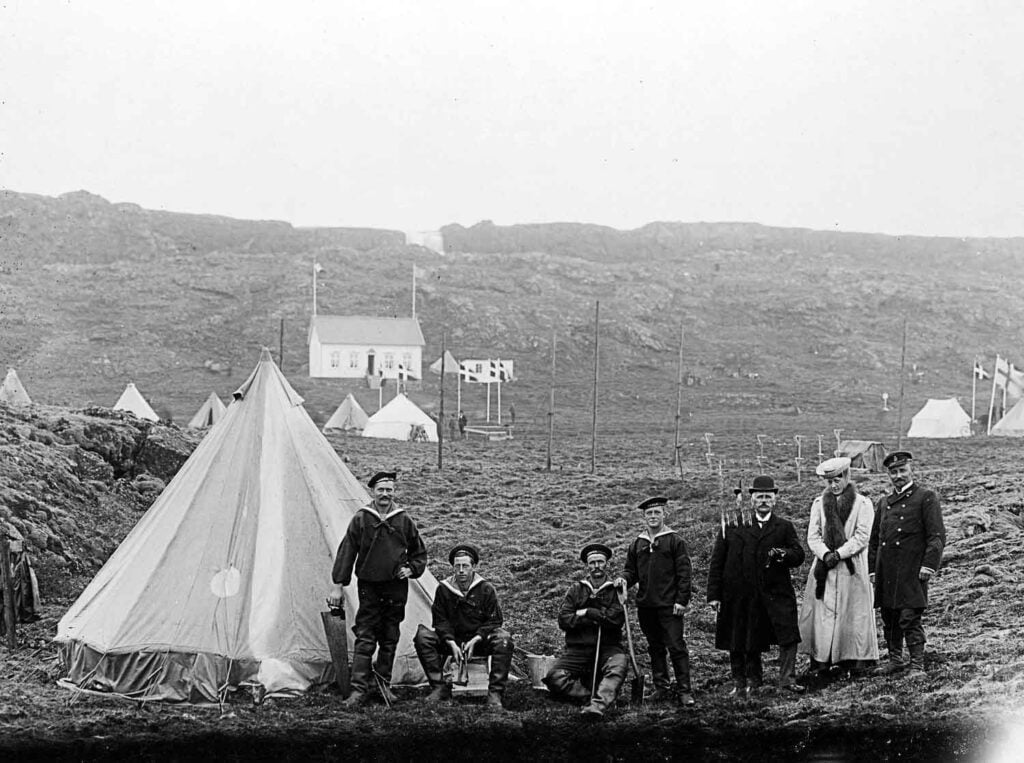
Þingvellir was an important symbol of national unity in Iceland’s process towards independence in the 19th and 20th centuries. The last Alþing was held at Þingvellir in the summer of 1798. After the assembly was suspended, Þingvellir was a quiet place, off the beaten track for a period of time.
When the European movement for independence reached Iceland at the beginning of the 19th century, the sagas and the landscape of Þingvellir were revitalised. Þingvellir then played a dominant role in society as a symbol of independence. The old assemblies were uppermost in people’s thoughts and the old heroes were revived in verse.
The reawakening of nationalism resulted in much discussion about the location of the new Alþing. There were differences of opinion as to where the Alþing should be located, but Þingvellir was suggested immediately. In 1843, King Kristian VIII of Denmark gave a Royal decree on the location of a þing in Iceland that should be called the Alþing. It first met on July 1, 1845 in the Latin School in Reykjavík. The Alþing was purely an advisory assembly and had no legislative power.
In 1848, the first Þingvellir meeting was held, attended by 19 delegates who composed a petition to the king requesting that he provide Icelanders with a national assembly with the same rights enjoyed by Danish subjects. Þingvellir meetings were held irregularly until 1907. At these, political campaigns were planned and the issues placed in the hands of those who presented them to the Alþing and the authorities.
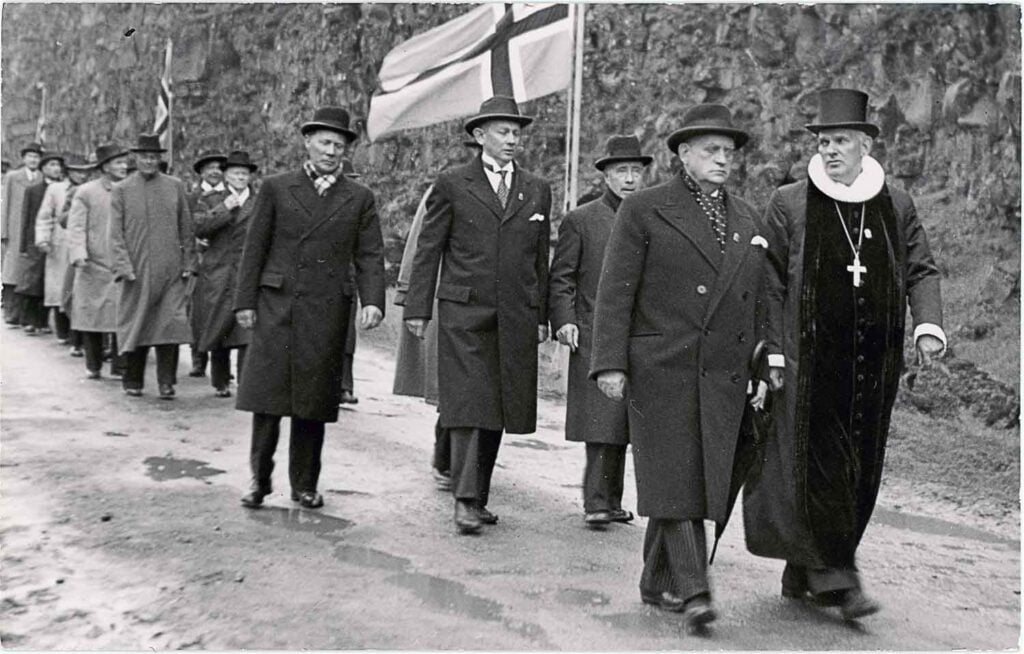
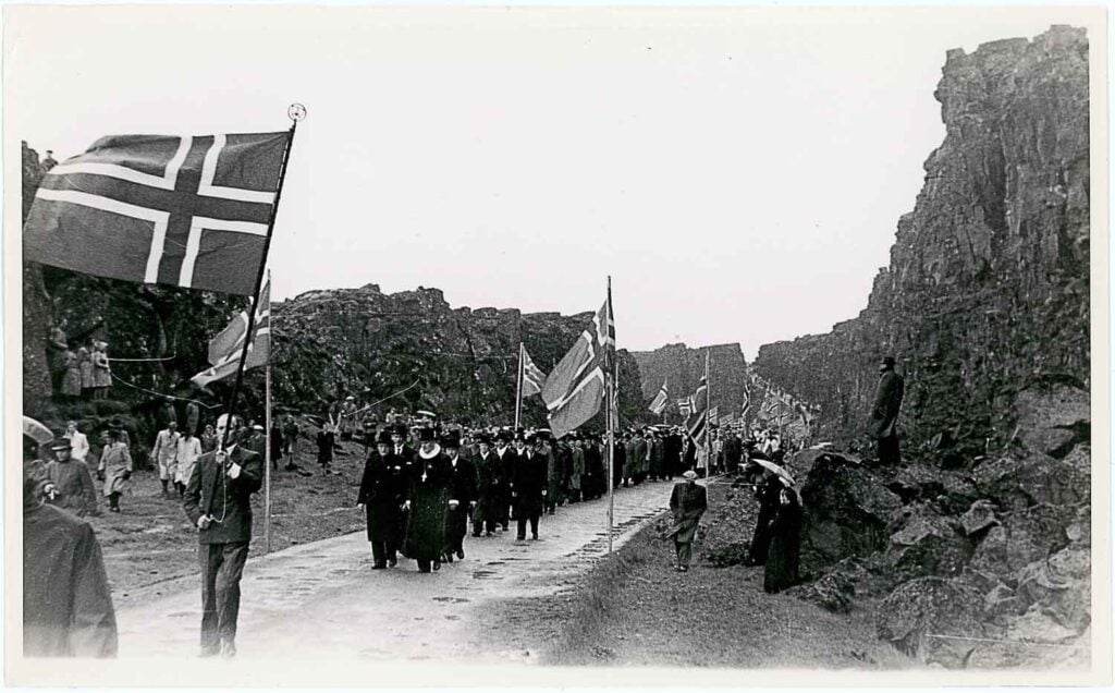
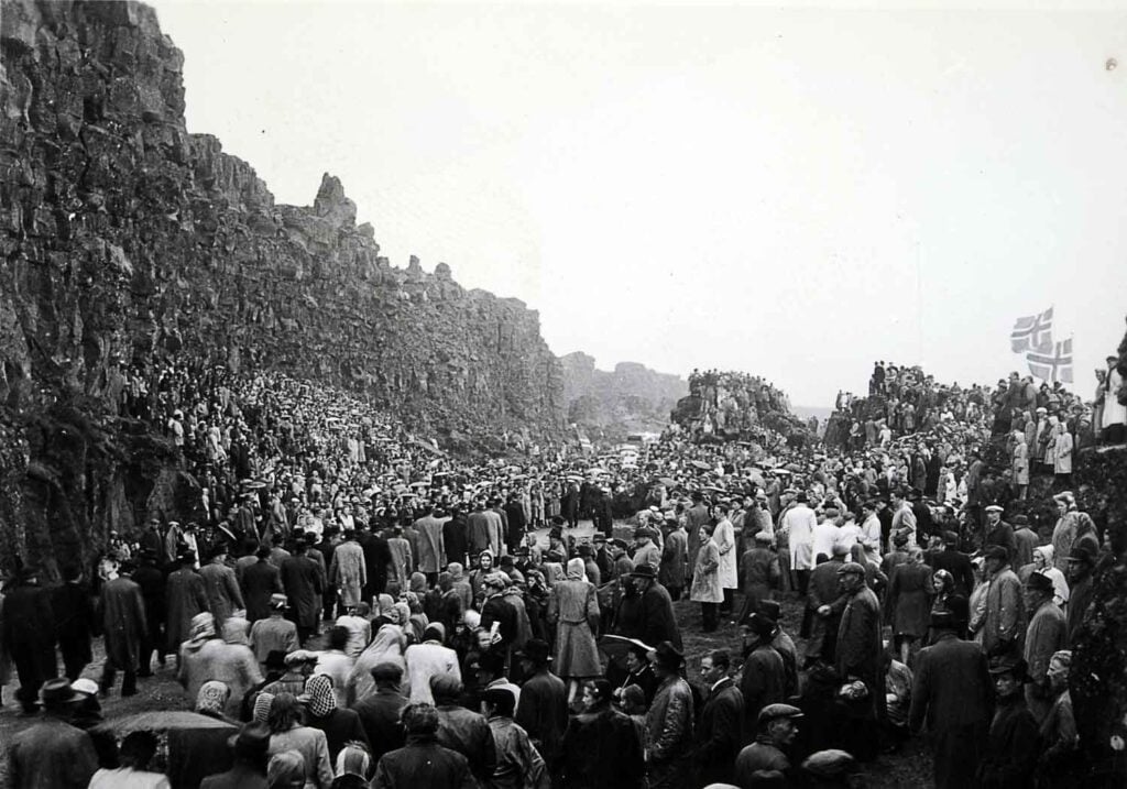
Because of the Þingvellir meetings and the movement for independence, Þingvellir re-established itself as the main meeting place for Icelanders, where they could meet and celebrate the biggest and most important events in the history of the nation. The biggest one of them all being the decleration of independence on 1944 17th of June at Lögberg. Despte heavy rain and wind Icelanders came by the thousands to celebrate a new constitution and new president, Sveinn Björnsson.
A UNESCO World Heritage Site
The Government of Iceland nominated Þingvellir on the UNESCO World Heritage List to the World Heritage Committee (WHC) due to its unique cultural landscape. World Heritage sites are internationally recognized protected areas that usually have a high attraction for tourists. At the meeting of the World Heritage Committee in July 2004, the registration of Þingvalli was confirmed. The nature of the Þingvalla area is on the summary list of places in Iceland that are expected to be designated, but according to it the designation would be added to the current listing of Þingvallir.
Text: Þingvellir National Park

