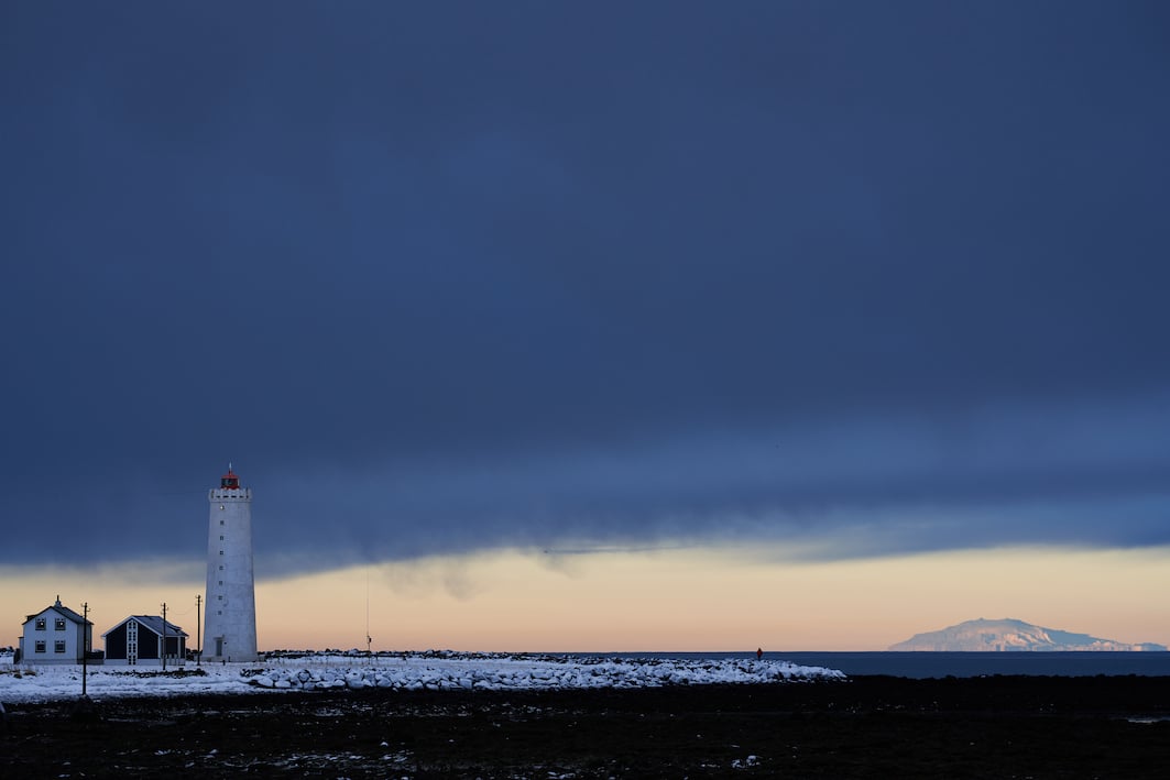
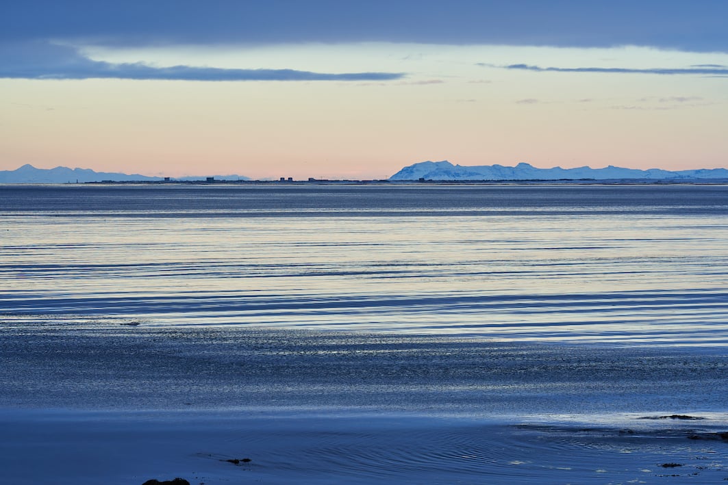
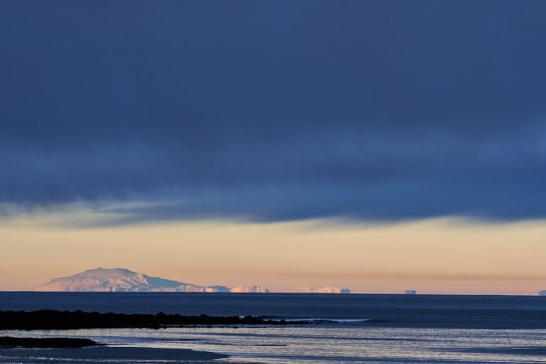
Incredibly beautiful, they have brought Snæfellsjökull closer to Reykjavík, I thought as I crossed Öskjuhlíð on my way to the center of Reykjavík. The course was changed, and the course was set to the west of Grótta in Seltjarnarnes, where it is best to capture the glacier from the capital. “Incredibly beautiful” said a Danish traveler who stood by his tripod and photographed the mood. “How far is it in a straight line to Snæfellsjökull from here” he then asked. “I have no idea.” But then with the help of HERE maps, we saw that we were 109 km / 66 mi away from this 1446 m / 4744 ft high volcano in the west of Snæfellsnes, in the northwest across Faxaflói. The western part of Snæfellsnes is a national park, Snæfellsjökull which is almost 200 square kilometers in size. Snæfellsjökull last erupted in 272, the year Constantine I the Great, Emperor of the Roman Empire was born. He was the first Christian Emperor. Constantine moved the capital of the Roman Empire from Rome to Constantinople, now Istanbul, which he of course named after himself.

Gróttuviti built in 1947 and Snæfellsjökull 109 km away

Photographs & text: Páll Stefánsson
06/01/2022 : A7R IV : FE 1.8/135mm GM


