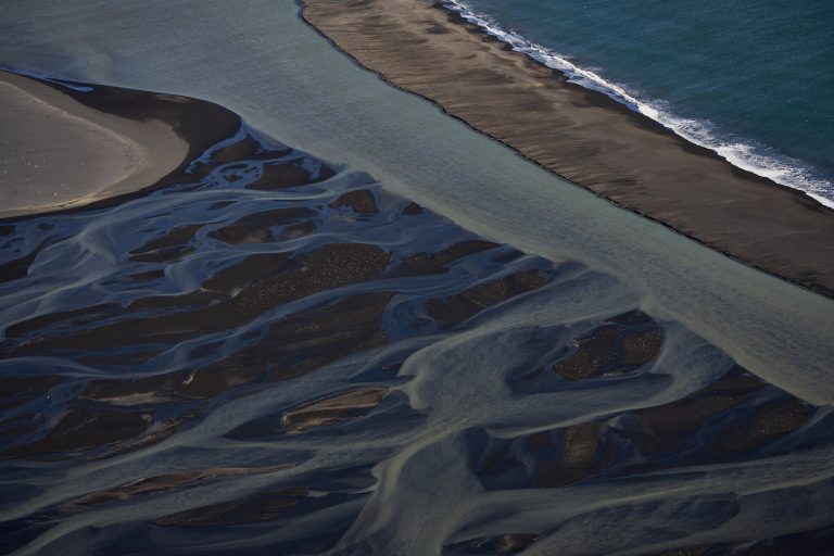
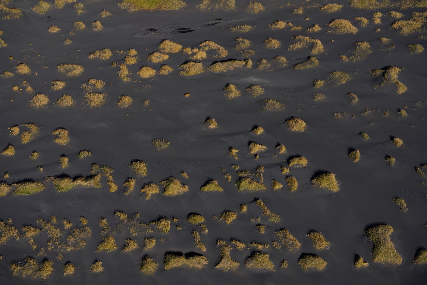
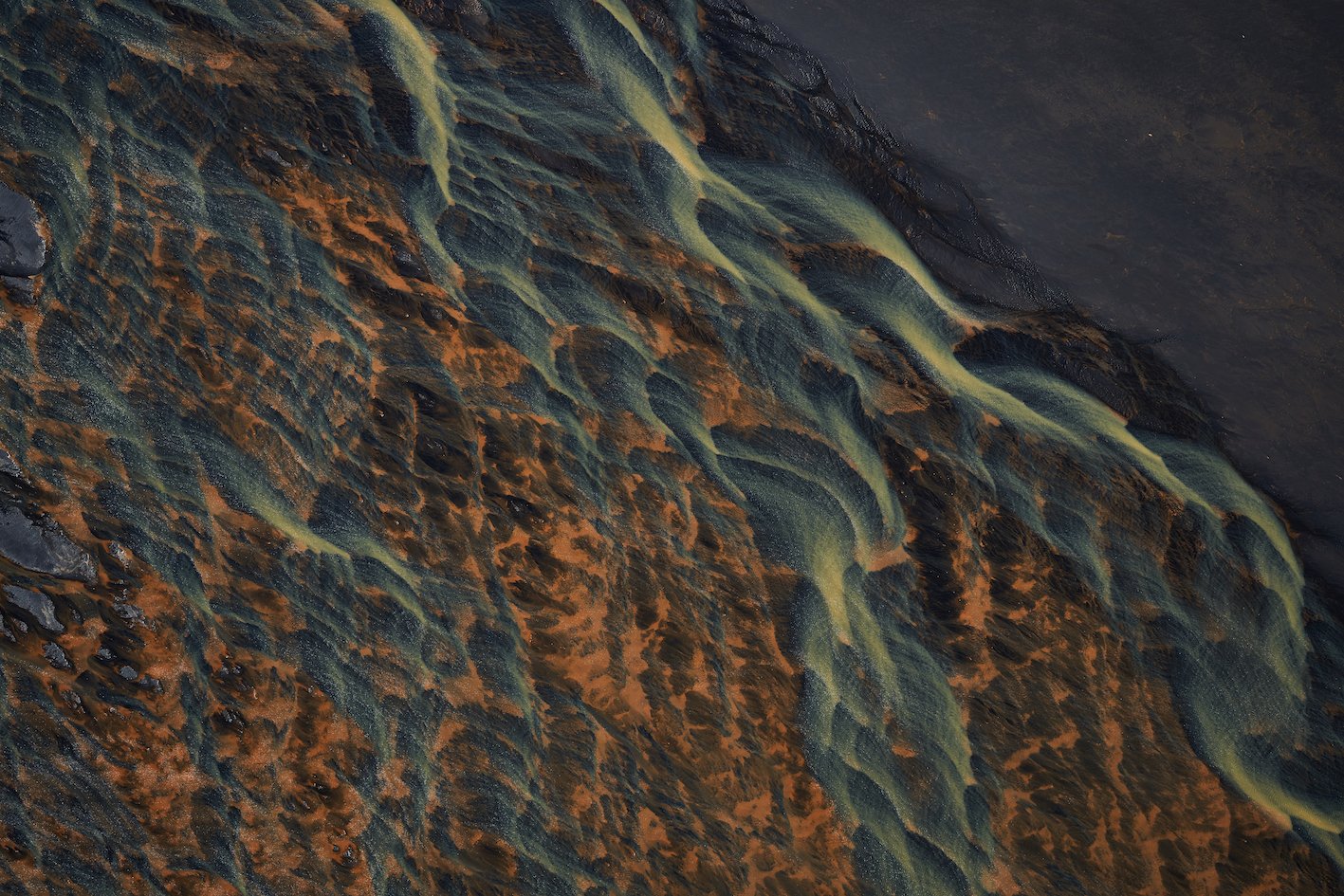
The Þjórsá River, which flows along the border between Árnessýsla and Rangárvallasýsla counties, originates from the desolate wasteland of Sprengisandur, drawing its waters from Hofsjökull and Vatnajökull glaciers. It is the longest river in the country, traveling more than 230 km before it reaches the sea on the south coast just west of Þykkvibær. Along this lengthy course, there are seven hydroelectric power stations on the river and its tributaries: the two Búrfell stations, Sultartangi Station, Hrauneyjafoss Station, Sigalda Station, Vatnsfell Station, and Búdarháls Station—all owned by Landsvirkjun, the National Power Company of Iceland. Three more power plants on the Þjórsá River are currently in the planning stages. Today, Þjórsá generates about 40% of all the electricity produced in Iceland, making it the second most voluminous river in the country, after the Ölfusá River. The average flow of the Þjórsá is about 350 m³/s, while the Ölfusá’s flow is about 50 m³/s greater; however, since the Ölfusá flows through lowlands with little to no elevation drop, it is not suitable for hydroelectric development. There are only two bridges over the entire length of the Þjórsá, the same number as over the Ölfusá, which is only 25 km long. Icelandic Times took to the skies ot make an aerial tour over the mouth of this mighty river, which not only generates electricity but is also an excellent and productive fishing river, yielding salmon, trout, char, and eel.
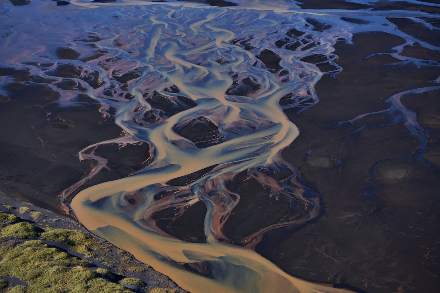
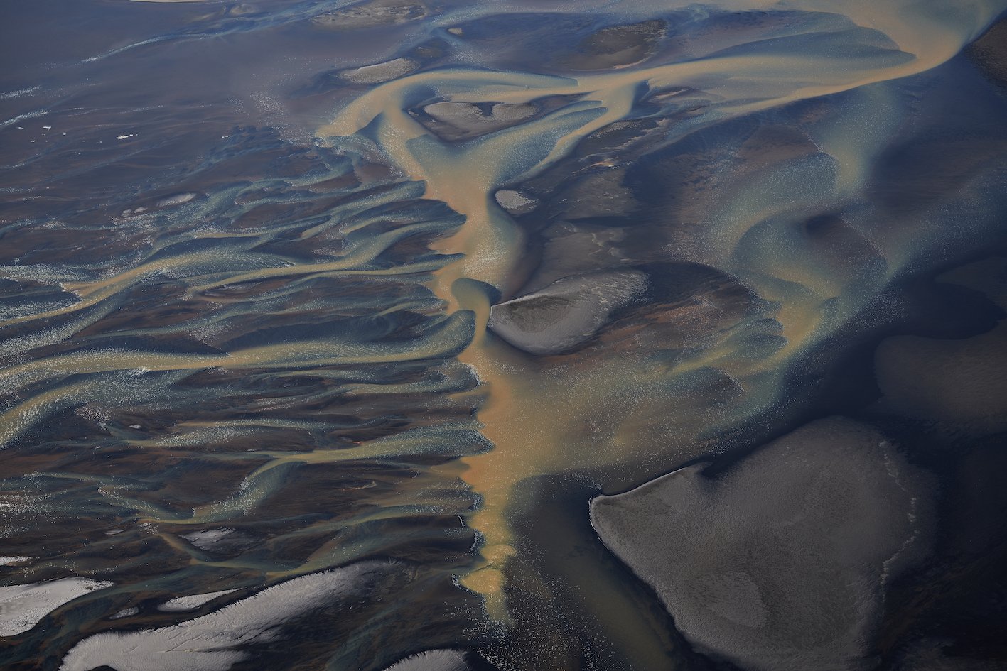
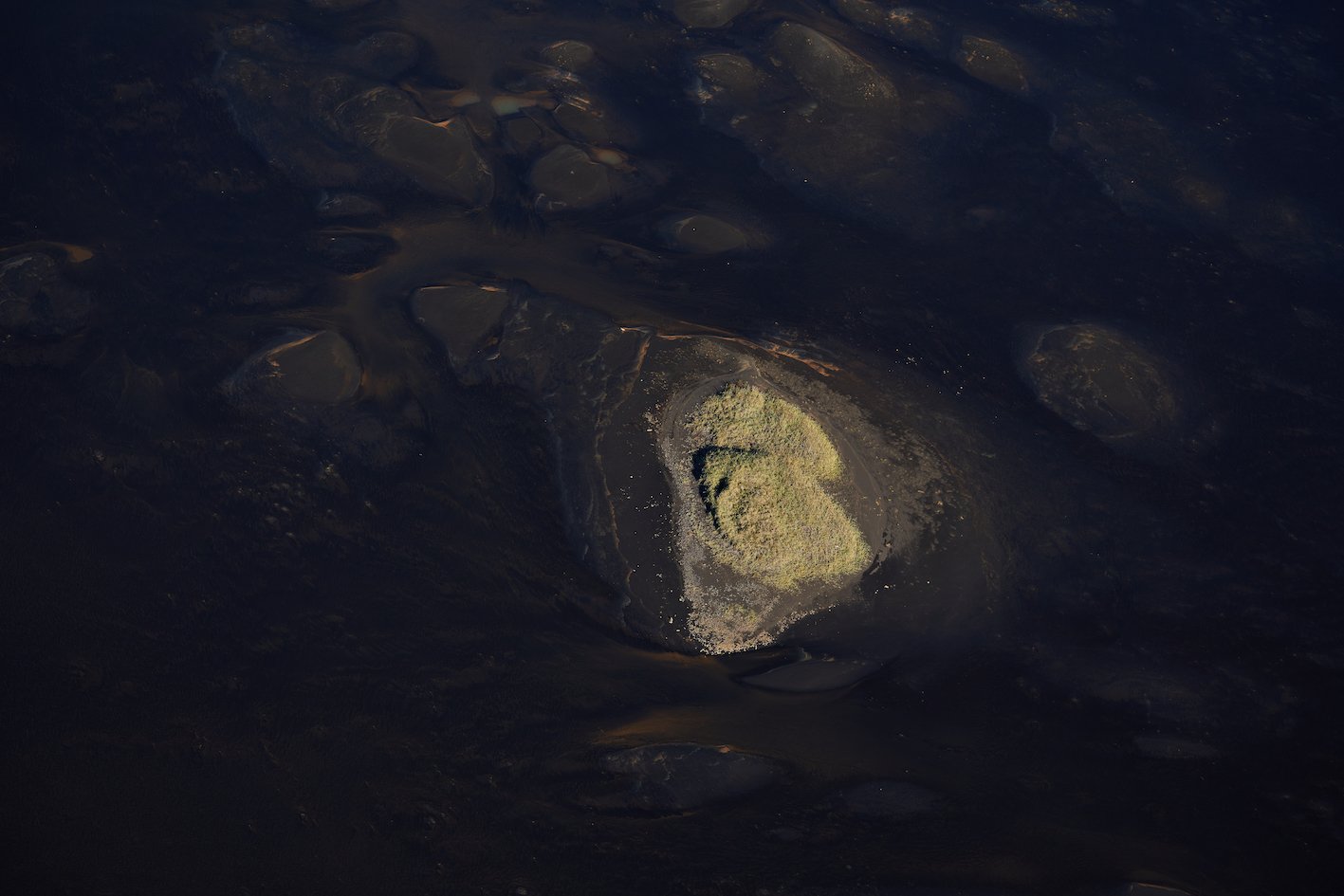
Photos & text: Páll Stefánsson
Suðurland 09/10/2023 – A7R IV : FE 1.4/85mm GM


