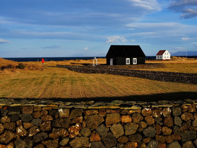
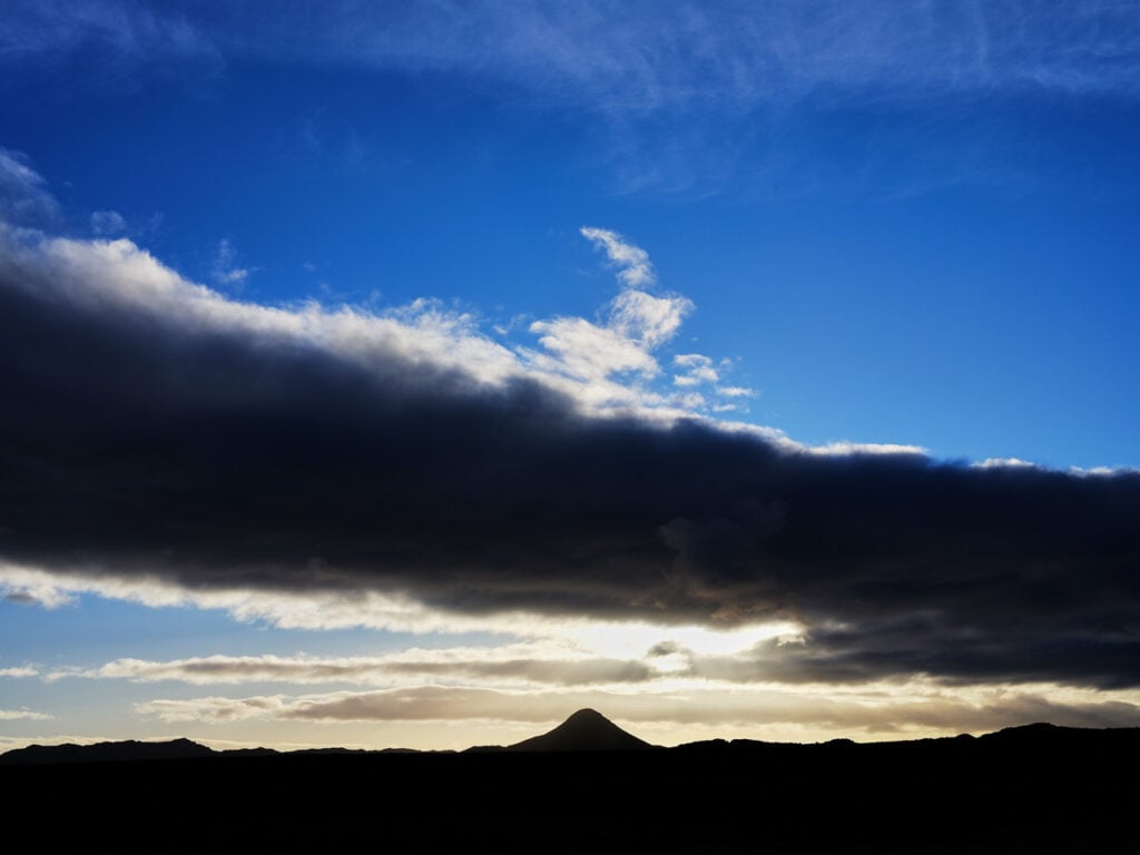
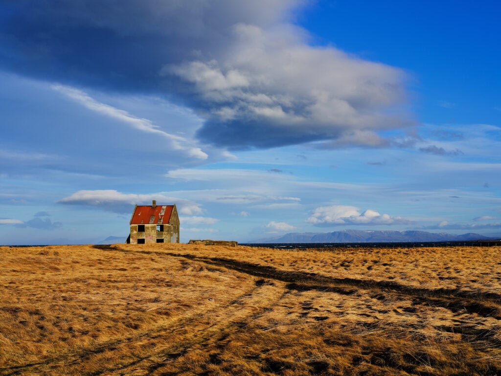
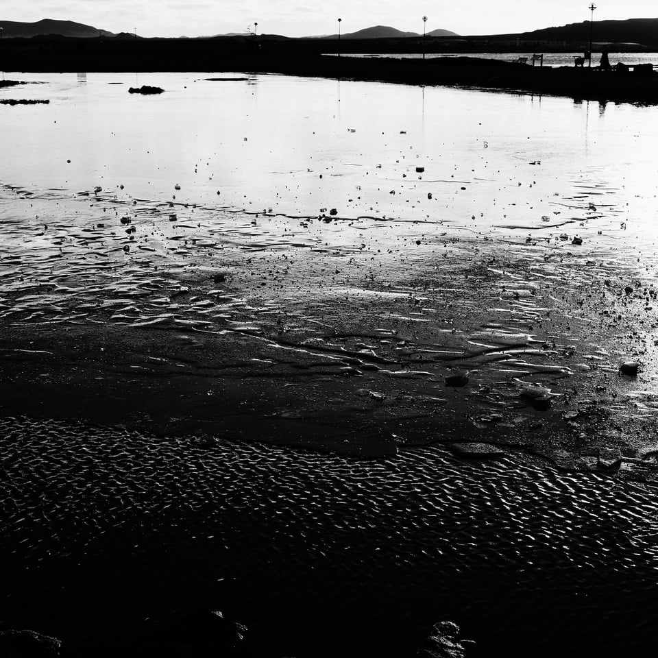
Vatnsleysuströnd is a 15 km long coastline on the northern side of the Reykjanes Peninsula, stretching between Hafnarfjörður and Keflavík. The beach is covered by ancient lava, known as Þráinsskjaldarhraun, which flowed from a crater located northeast of Fagradalsfjall several thousand years ago.
The coastline is beautiful, and despite being almost right along a major route—since Iceland’s busiest national highway, Reykjanesbraut, runs just south of Vatnsleysuströnd—surprisingly few people venture along the old coastal road that follows the shoreline.
Today, about 100 people live along the beach itself, and 1,100 in the village of Vogar, making a total of around 1,200 residents in the municipality. The area has been densely populated throughout the centuries, despite challenging conditions for livestock farming. Instead, many farms along the coast maintained strong rowing-boat fisheries for generations, thanks to their proximity to rich and productive fishing grounds.
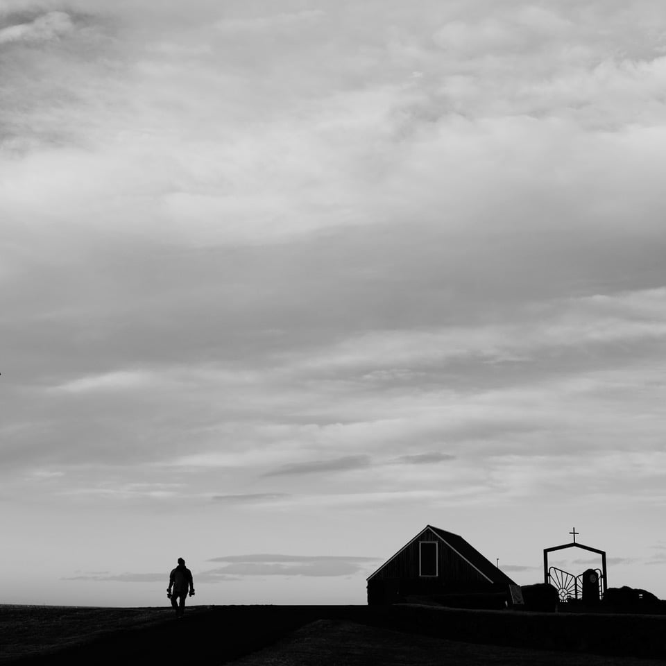
Ancient remains are widespread across Vatnsleysuströnd, including ruins of seasonal fishing huts (verbúðir) and other structures related to traditional fishing operations.
Icelandic Times / Land & Saga explored the coastline and took photographs—it is truly an excellent spot for enjoying outdoor activities, right in the vicinity of Keflavík and the Capital Region.


Photos & text : Páll Stefánsson
Reykjavík : 26/01/2026 – GFX 100 II / GF 1.7/55mm
