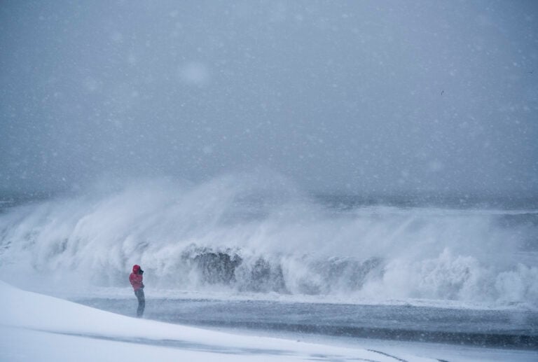
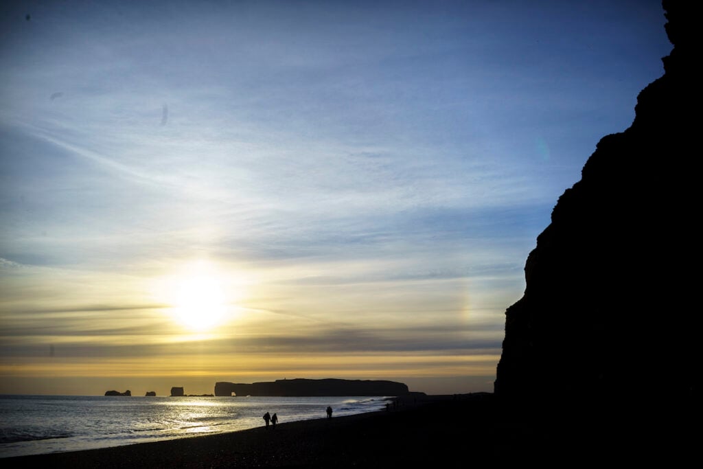
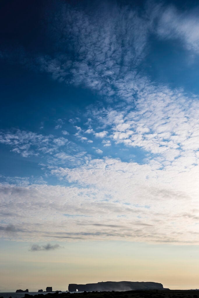
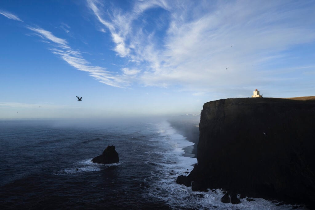
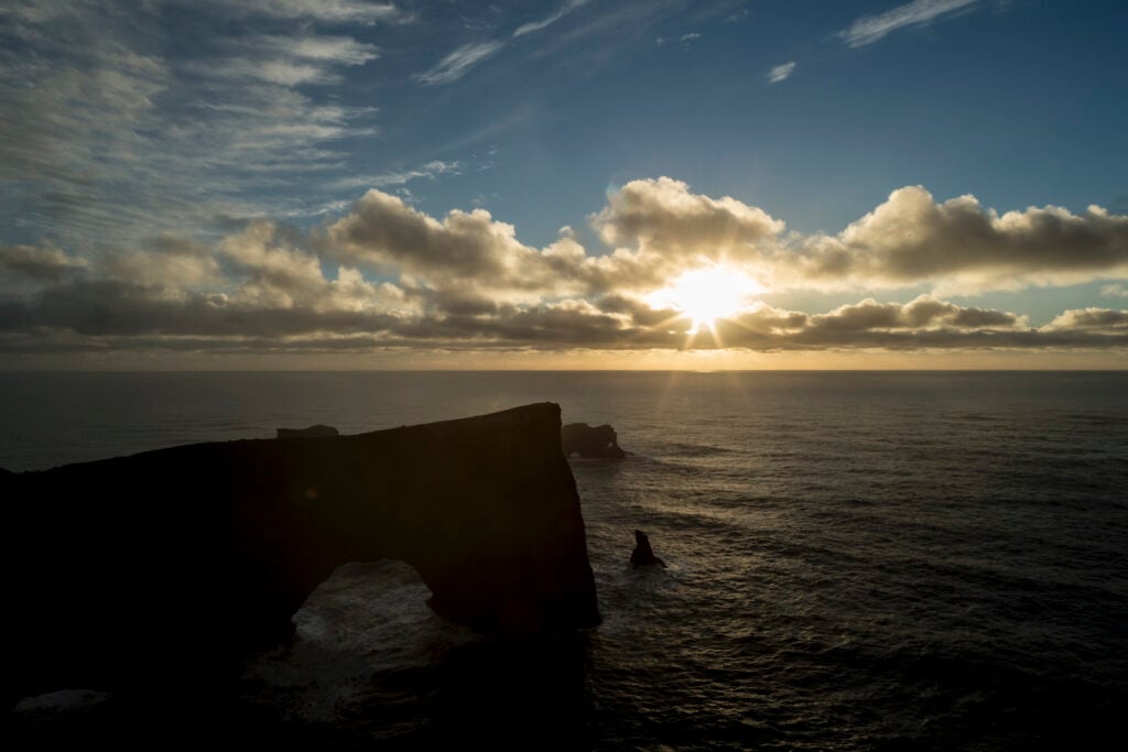
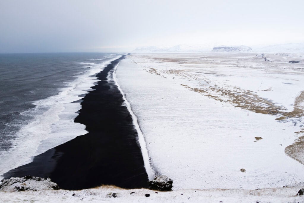
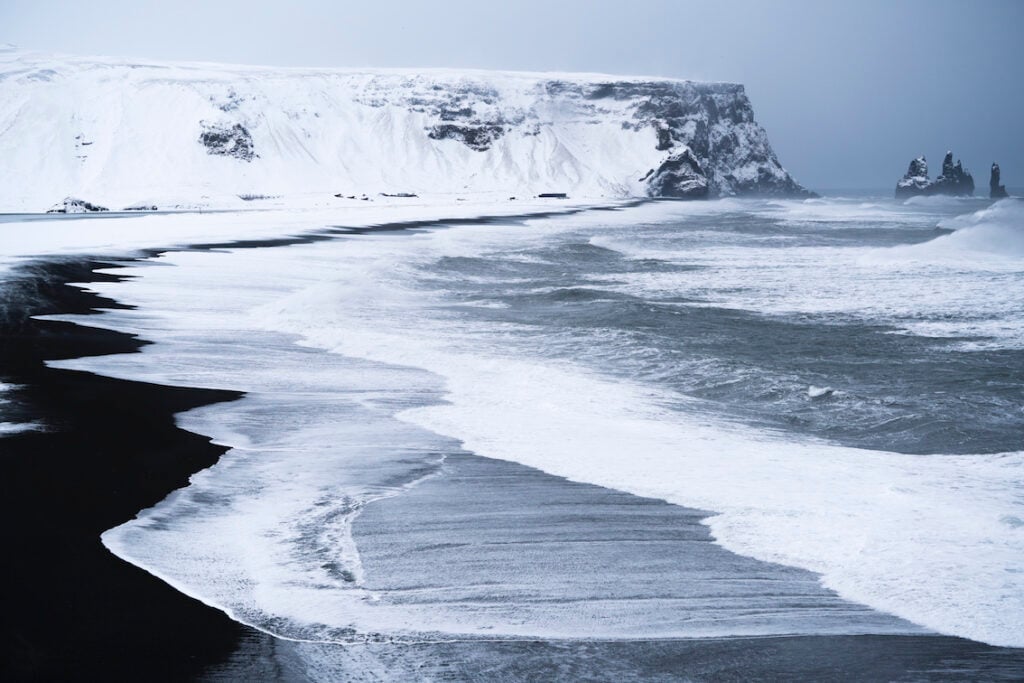
It takes just under three hours to drive from Reykjavík along the Ring Road to to visit Dyrhólaey, one of the most beautiful places in the entire country. Though Dyrhólaey is not tall, only 120 meters, the view from this tuya, formed in an eruption under a glacier almost ten thousand years ago, is incredible. The view to the northeast is of Mýrdalsjökull and the Katla volcano. To the east, you can see Reynisfjara beach, the famed Reynisdrangar basalt sea stacks, and Reynisfjall mountain, while to the west, you can see along the south coast towards Eyjafjallajökull. Pétursey rises to the northwest. Dyrhólaey was the southernmost point of Iceland until the great Katla eruption of 1918, when Kötlutangi was formed 20 km / 12 mi to the east. Currents and winds are steadily eroding on the spit directly south of Hjörleifshöfði east of Vík, so in just a few years, Dyrhólaey should regain the title. At the top of Dyrhólaey is a lighthouse, designed by legendary Icelandic architect Guðjón Samúelsson, who also designed Hallgrímskirkja and the University of Reykjavík. There is abundant birdlife in Dyrhólaey; it is protected during the nesting season and was declared a nature reserve in 1978. Access to Dyrhólaey is good, with a well-maintained road leading up, so what’s stopping you from going there and enjoying the breeze – or the gale winds – that play freely all the time around Dyrhólaey?
Dyrhólaey 12/03/2024 : A7R III, RX1R II : FE 1.2/50 GM, FE 2.8/90mm G, 2.0/35mm Z, FE 1.8/135mm GM – Photos & text : Páll Stefánsson
