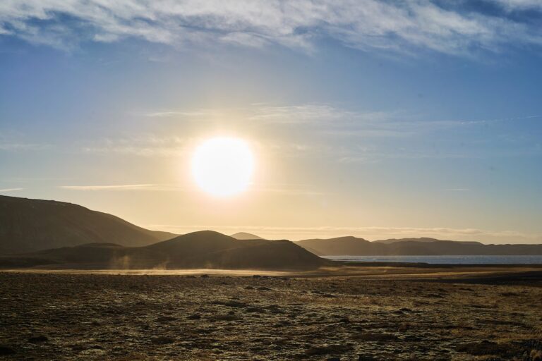
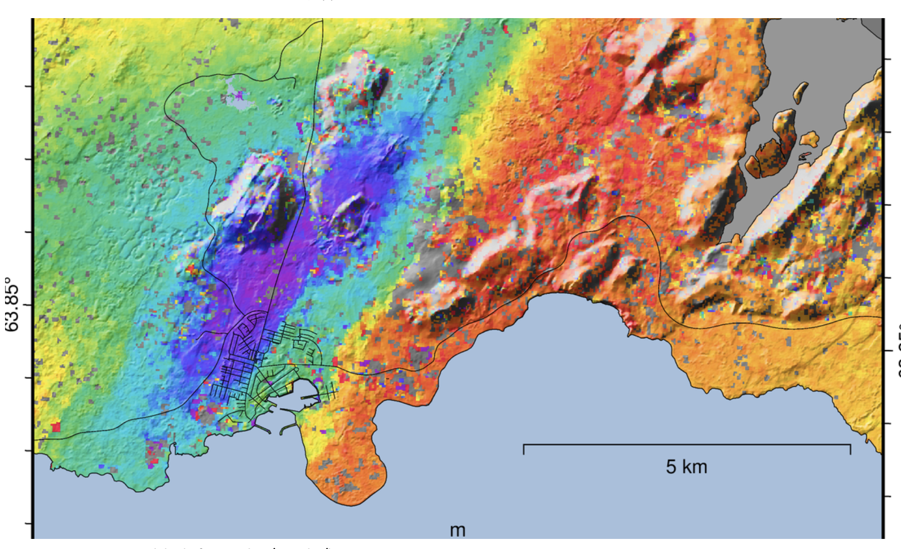
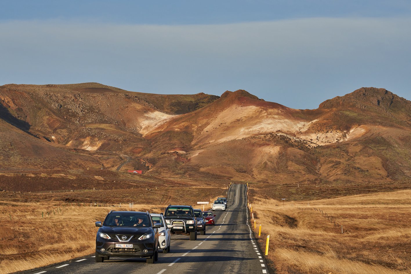
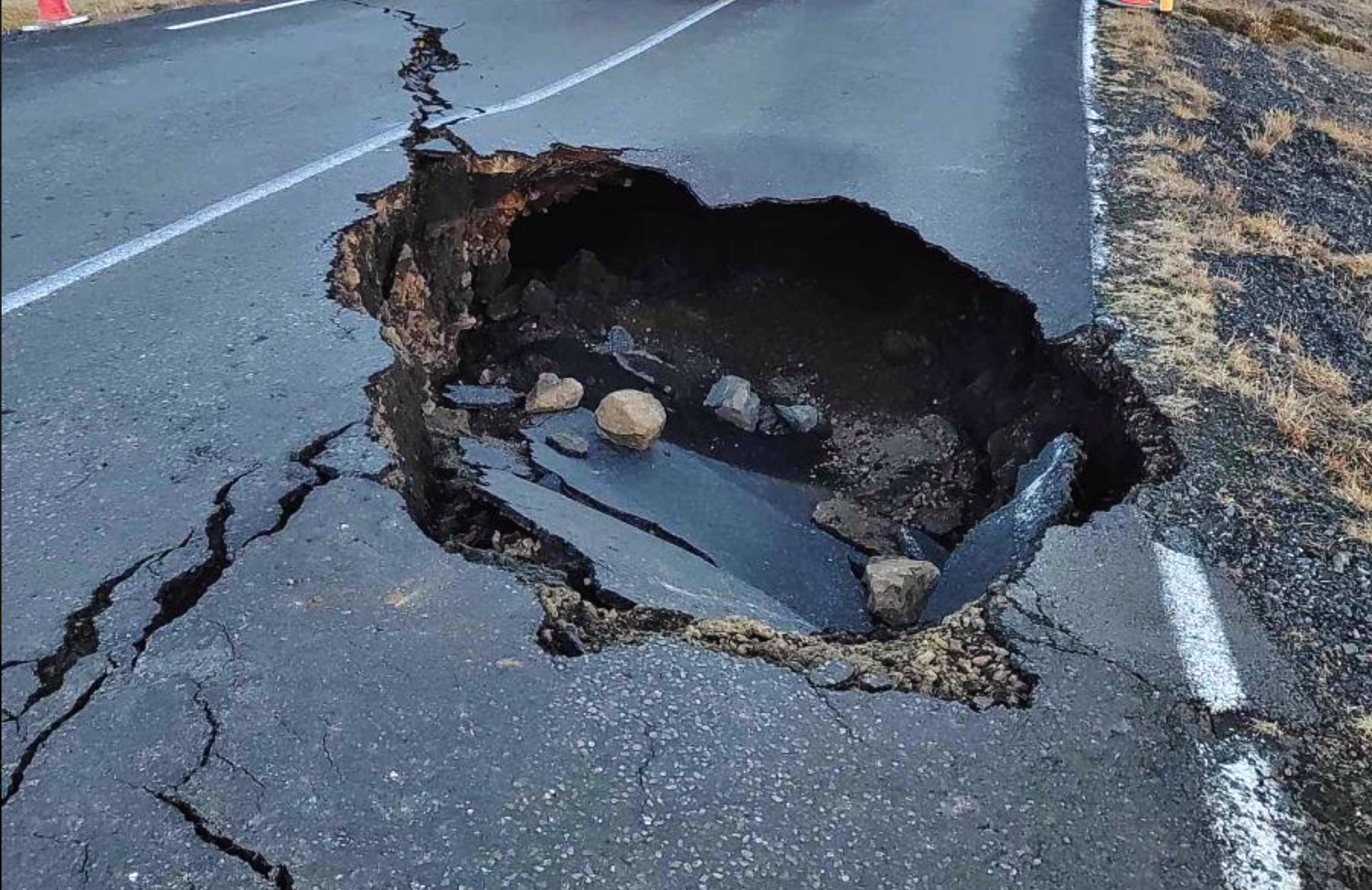
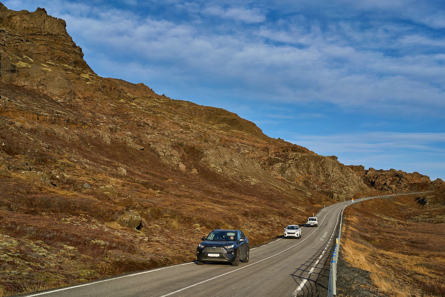
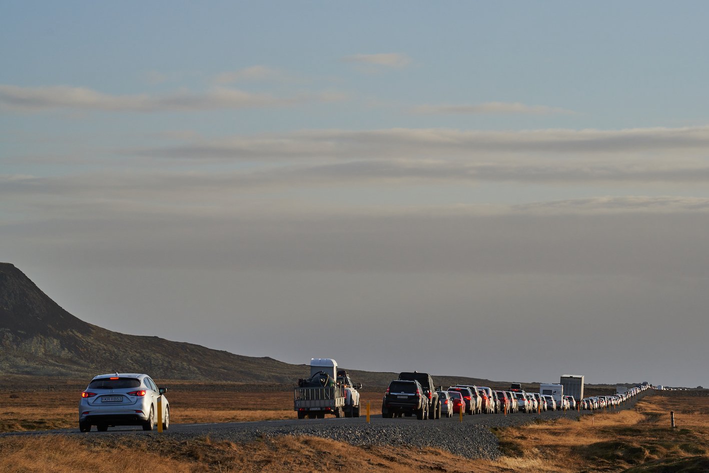
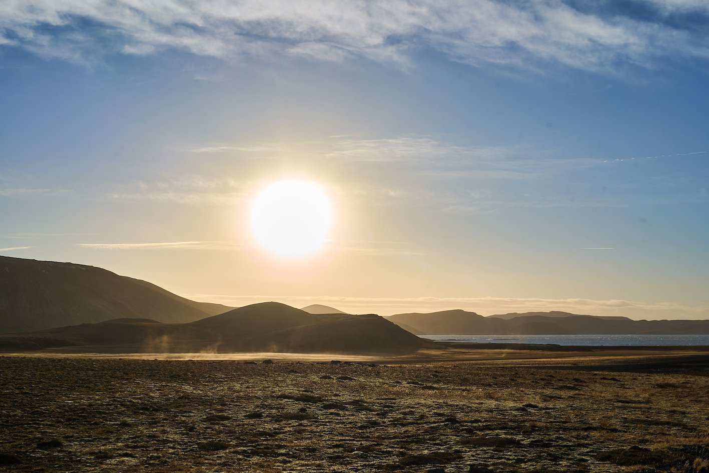
A line, many kilometers-long of the people of Grindarvík’s vehicles, formed on Suðurstrandarvegur when the Department of Civil Protection and Emergency Management gave the locals a few minutes today to collect their pets and their most essential items. Of the three roads leading to the town, only one is open, Suðurstrandarvegur. The other two routes, Nesvegur, which runs west from Reykjanesviti, and Grindavíkurvegur (the main route) from Keflavíkurvegur are so badly damaged after the earthquakes that they are closed until repairs are completed. Many houses and streets in Grindavík are badly damaged after the series of earthquakes that has lasted for four days. It was also discovered that a graben up to a meter deep has formed in the western part of the town. Although it is rather quiet now in Grindavík, there is still a high probability of an eruption, magma is still flowing into a 15 km long fissure that runs partly under the town. When will the magma come up to the surface, starting an eruption? Nobody knows.
Photographs & text: Páll Stefánsson
Reykjanes 13/11/2023 – A7C, A7R IV : FE 1.8/135mm GM, 2.5/40mm G

