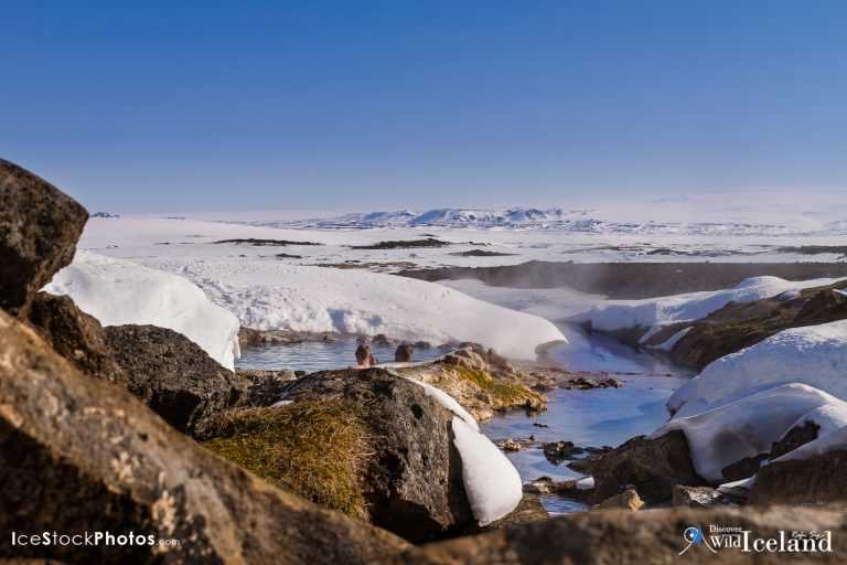
Enjoying the beautiful scenery in one of our natural hot tubs in the highlands - Hveravellir - Iceland

The highlands of Iceland (Hálendið)

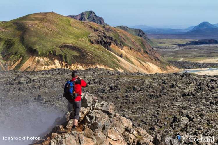
Back packers walking in the Highland’s of Landmannalaugar towards Brennisteinsalda, Iceland
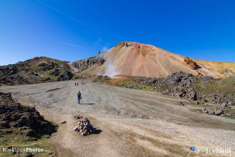
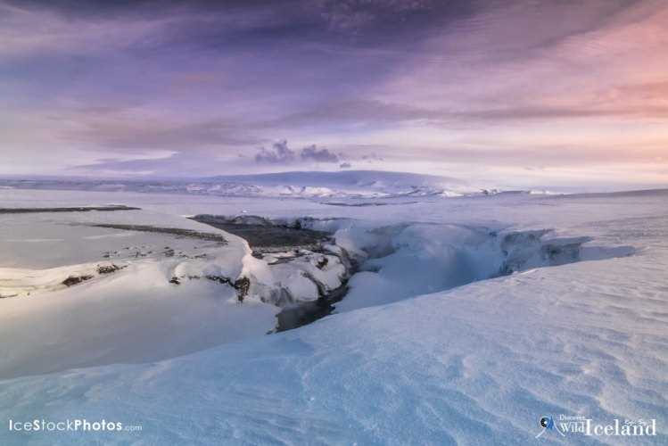
Back packers walking in the Highland’s of Landmannalaugar towards Brennisteinsalda, Iceland
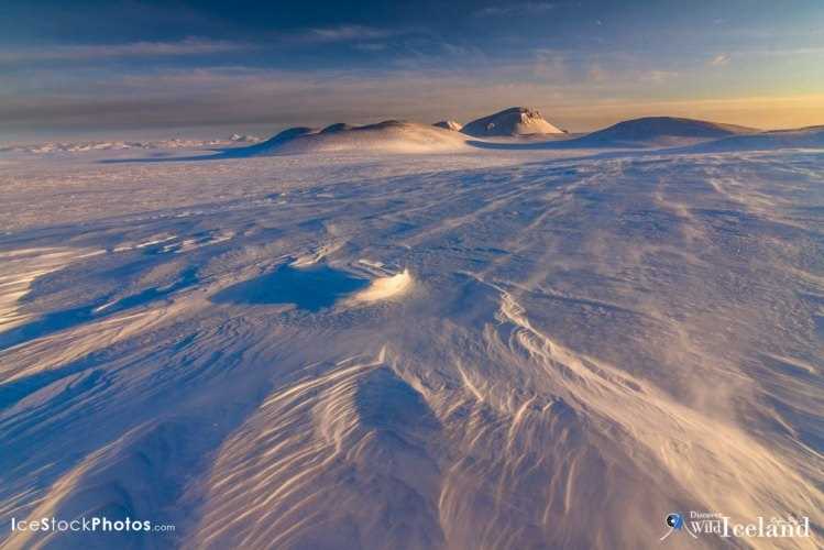
Back packers walking in the Highland’s of Landmannalaugar towards Brennisteinsalda, Iceland
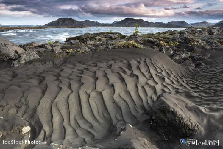
Gjallandi waterfall in river Skjalfandafljot. Highlands of Iceland.
Sprengisandur, Highlands of Iceland
The Tungnaá is a river in the southern Highlands of Iceland. It flows from the western edge of Vatnajökull to the reservoir Sultartangalón, where it joins the Þjórsá.The river has been used extensively for hydroelectricity, with power stations at Vatnsfell, Sigalda, Hrauneyjafoss,and Sultartangi
Laki or Lakagígar (Craters of Laki) is a volcanic fissure in the south highlands of Iceland,. Lakagígar is the correct name, as Laki mountain itself did not erupt, as fissures opened up on each side of it. Lakagígar is part of a volcanic system centered on the Grímsvötn volcano and including the Þórðarhyrna volcano. It lies between the glaciers of Mýrdalsjökull and Vatnajökull, in an area of fissures that run in a southwest to northeast direction.
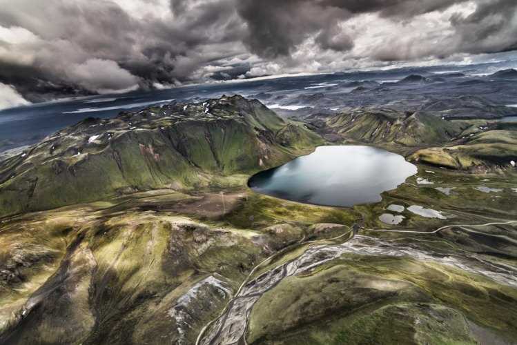
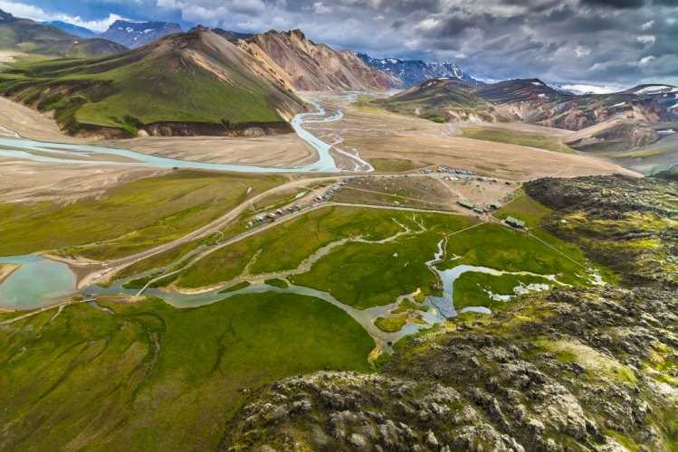
Landmannalaugar area - Highland - Iceland
Landmannalaugar area – Highland – Iceland
Landmannalaugar is a region near the volcano Hekla in southern section of Iceland's highlands
Landmannalaugar is a region near the volcano Hekla in southern section of Iceland’s highlands

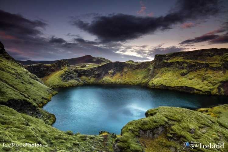
Nothing in Iceland prepares you for the stark, desolate, raw beauty of the barren upland plateau called the Highlands. An uninhabited area, The Highlands are completely without towns or villages, just infinite plains, glacial rivers and lava fields punctuated by ice caps, volcanoes and jagged mountains. The isolation is the reason why people visit and travellers are humbled by the sublime sight of nature in its rawest, barest form.

Historically, trails in the highlands were used as summer short cuts between north and south and myths of ghosts and fearsome outlaws spurred travellers along the tracks with all speed. Today, it is probably wiser to worry about the weather, as conditions can be fickle and snow is not uncommon, even in mid-summer. The solitude is exhilarating, the views are vast and it is immensely tough but equally rewarding to hike or bike these cross-country routes. Any self-driving, cycling or hiking trip must be carefully planned. There are no roads in the area, just tracks and hardly any bridges across the rivers. Of the entire various track, only two routes actually cross the whole way between north and south: Sprengisandur (F26) and Kjölur F35). The region is fully accessible only by four wheel drives. It is also possible to get a taste of this utter isolation in safety on bus tours where you will discover amazing landscapes, similar to lunar landscapes. Which is the reason why the Apollo astronauts came there to train for moon landing!

The highlands of Iceland


  • Shopping cart0
    There are no products in the cart!
    Continue shopping
    0