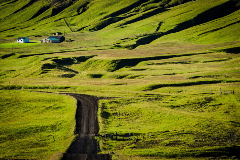
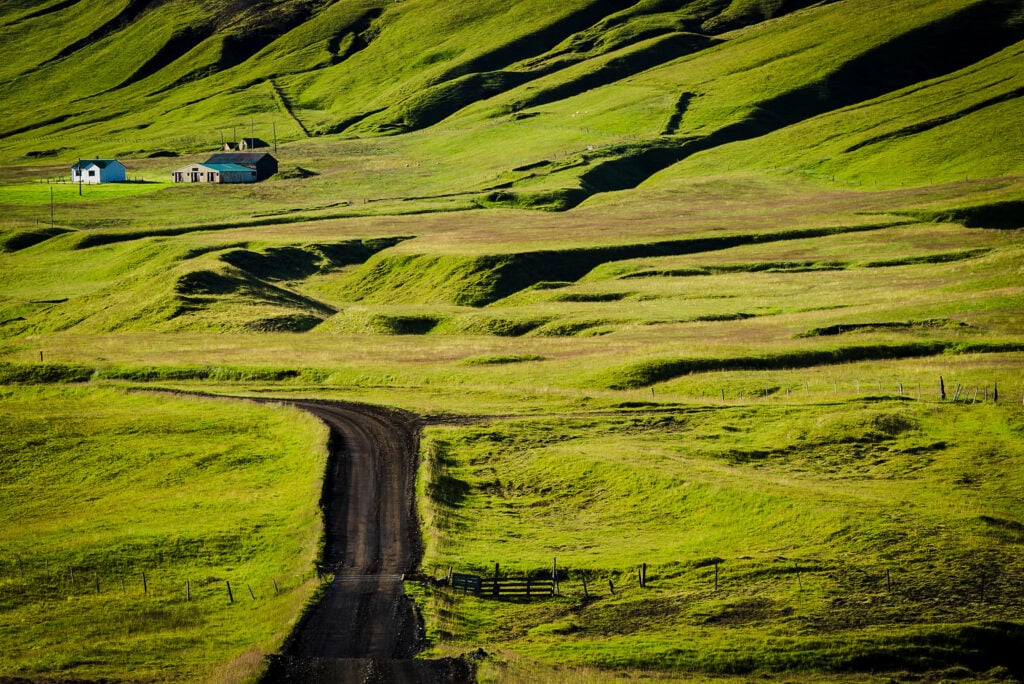
The length of Iceland’s road network is just about 26,000 km. Under the authority of
the Icelandic Road and Coastal Administration are the national highways, totaling
12,900 km, of which 5,900 km are paved. Municipal roads — those within towns and
villages — add another 13,100 km, with 2,500 km paved. The network includes 1,200
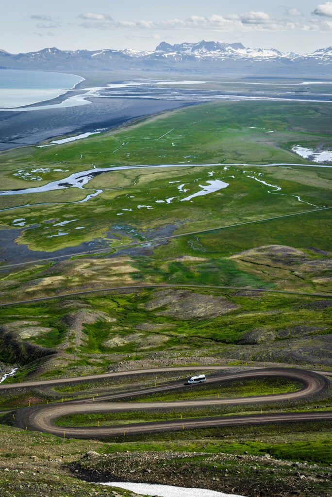
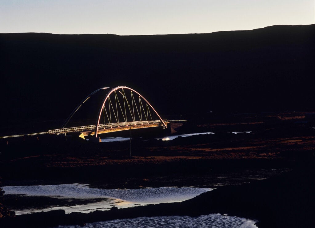
bridges, half of which are single-lane, including 29 along Ring Road 1. The goal is to
eliminate these within the next fifteen years.
There are 14 tunnels in the road system, with a combined length of 64 km.
In the national transport plan for 2024–2028, funding allocations for construction and
maintenance of the road system amount to 44.4 billion ISK (≈ 324 million USD), a sum
many consider far too low.
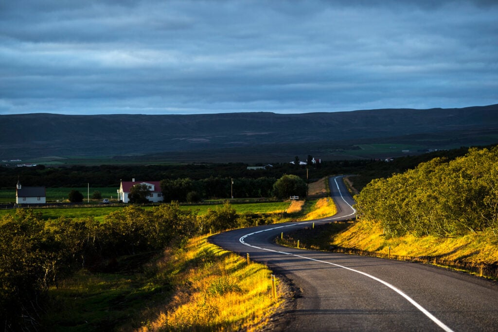
Route 1, or the Ring Road, is 1,321 km long, connecting nearly all regions of the
country, circling through every part of Iceland except the Westfjords, the northeast
corner, and the highlands. The Ring Road was completed in 1974 when the Skeidara
River in Oraefasveit was finally bridged. Paving of the entire Ring Road was finished in
2019.
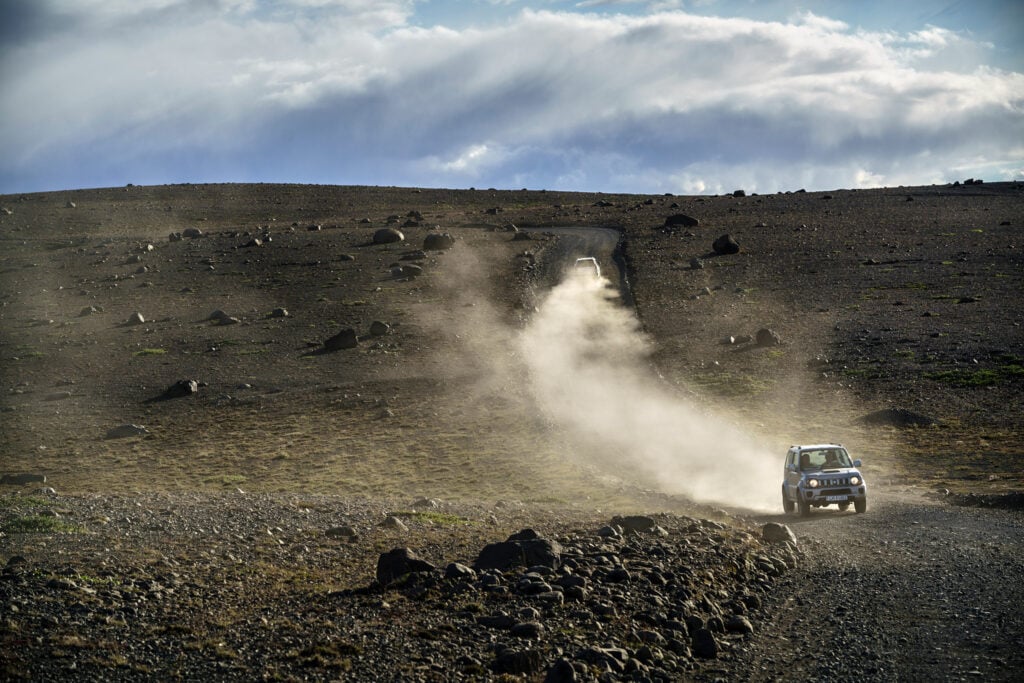
The Road and Coastal Administration measures traffic volume and flow at numerous
points along the Ring Road. The average driving speed in summer is 93.3 km/h —
slightly above the maximum speed limit of 90 km/h. Despite increased traffic, higher
speeds, and difficult winter conditions, fatal traffic accidents in Iceland remain among
the lowest in the world.


Photos & Text : Páll Stefánsson
Iceland 06/08/2025 – A7RIV, RX1R II : FE 2.8/100mm GM, FE 1.2/50mm GM, 2.0/35mm Z, FE 1.8/135mm GM
