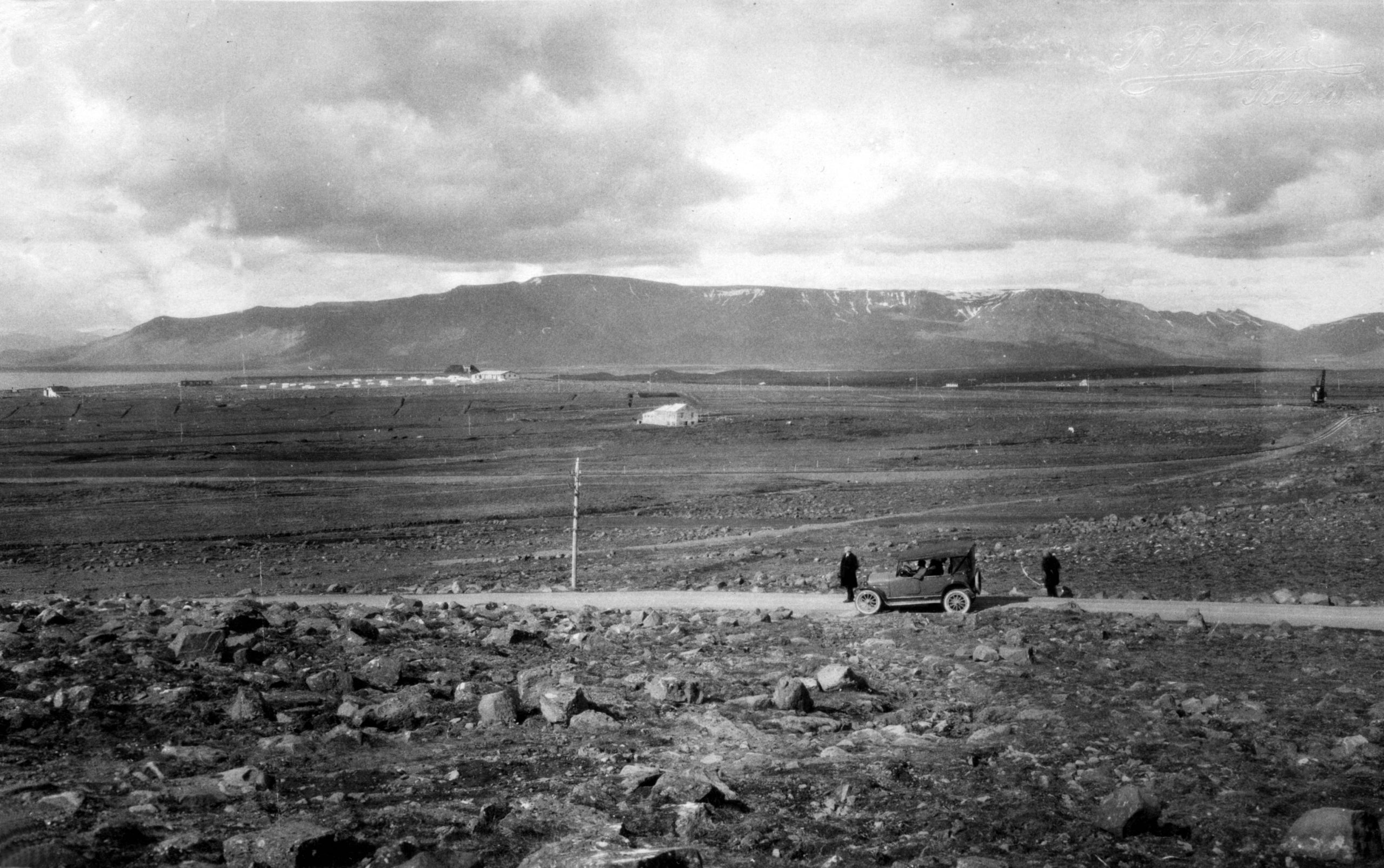
In the late 19th and early 20th centuries drainage of marshland began in Reykjavík territory. The drained land was allocated for farming under leases with inheritance rights. Grassfields were cultivated on farms and smallholdings in these areas, where animal husbandry and agriculture were established. Such farms played an important role at that time, when dairy products were always in short supply in the growing town of Reykjavík.
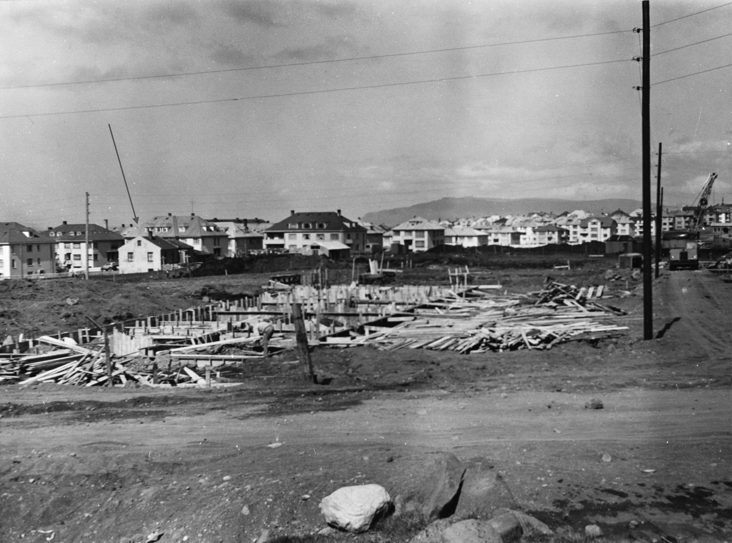
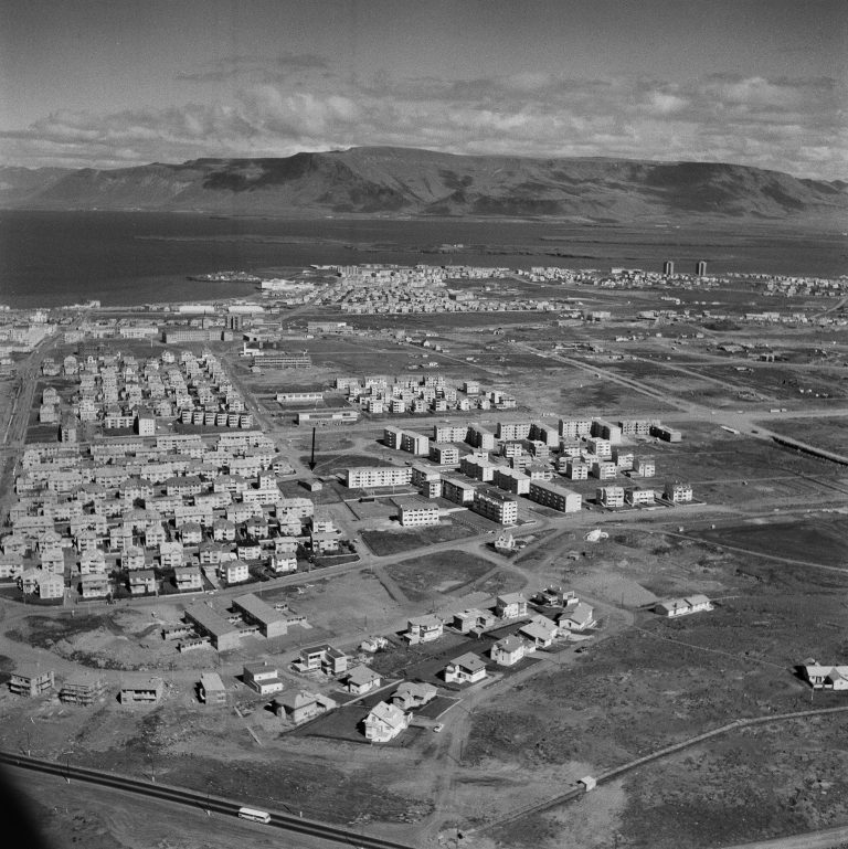
With the expansion of Reykjavík during and after World War II, and the construction of new districts east of the old town, most of the farms made way for new housing, but in some cases the original farmhouses were integrated into the developments and remain standing among homes of a later period.

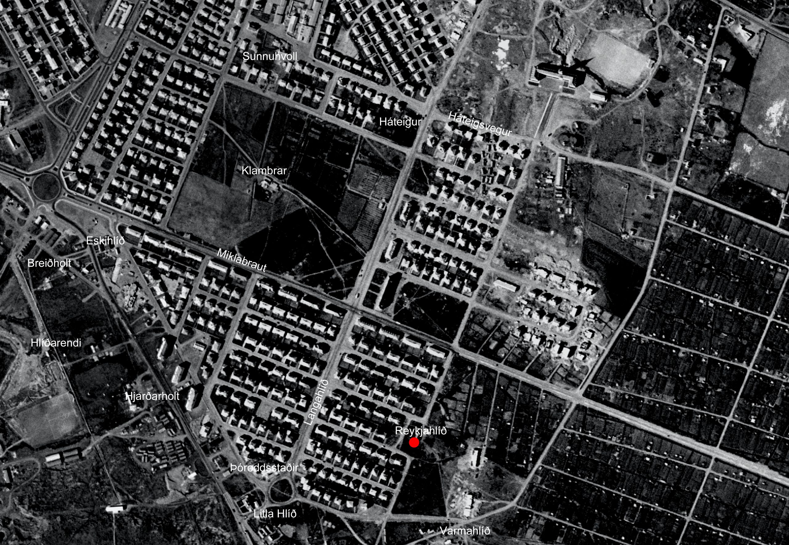
A number of farms were established in Norðurmýri and in the area between Rauðarárholt and Öskjuhlíð. One of them was Reykjahlíð, which stood here, at the eastern end of Mávahlíð – the present Stakkahlíð. In 1923 a farm was established at Reykjahlíð by Gestur Guðmundsson (1889-1974). It became one of Reykjavík‘s major sheep farms, and remained in operation until the mid-1960s. Gestur built a small concrete house at Reykjahlíð with barn, cattleshed and storehouse, where he lived with his wife Guðrún Ragnheiður Jónsdóttir (1887-1968) and their seven children. Keeping both sheep and cattle, Gestur distributed milk to the people of Reykjavík by horse-cart. By the late 1940s he was Reykjavík‘s leading sheep farmer, with 120 head. At that time the western part of the Hlíðar district had been completed and the eastern part was under construction. Plans provided for a new street, Stakkahlíð, to be constructed across the site of the Reykjahlíð farmhouse. A period of grace allowed farming to continue while the street was laid on either side. Gestur continued to keep sheep at Reykjahlíð until the City of Reykjavík purchased his land and buildings in 1964, after which the buildings were demolished and the construction of Stakkahlíð was completed. One of the streets in the district is named after the old farm, Reykjahlíð.

(Photo: Borgarskipulag)

Historical markers in Reykjavík
In recent years the City of Reykjavík has been installing historical markers around the city. Such markers at historic sites and areas within Reykjavík enrich the experience of both residents and visitors, and provide information on the city‘s culture and history. The markers display information about history, art, literature and social life relating to the site in question, accompanied by pictures.
Text and photos: Reykjavík City Museum
See further at www.reykjavikcitymuseum.is


