
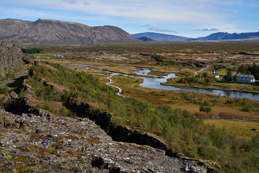
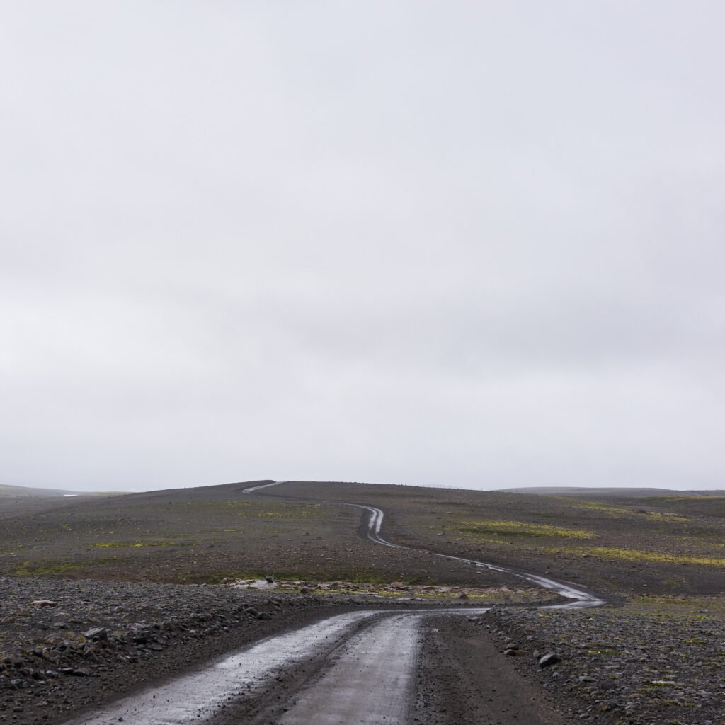
The Kaldidalur (“Cold Valley”) route is an ancient highway from Thingvellir up into
Borgarfjordur and from there further north. Kaldidalur was the first mountain road to be
cleared in Iceland, in 1830, at the initiative of the poet and district governor Bjarni
Thorarensen.
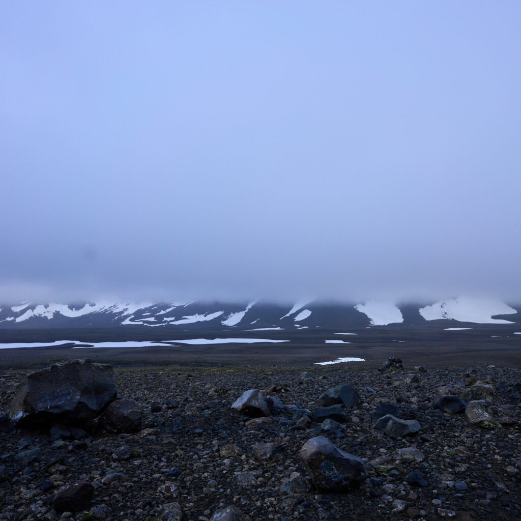
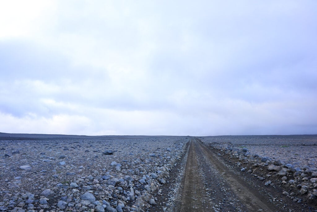
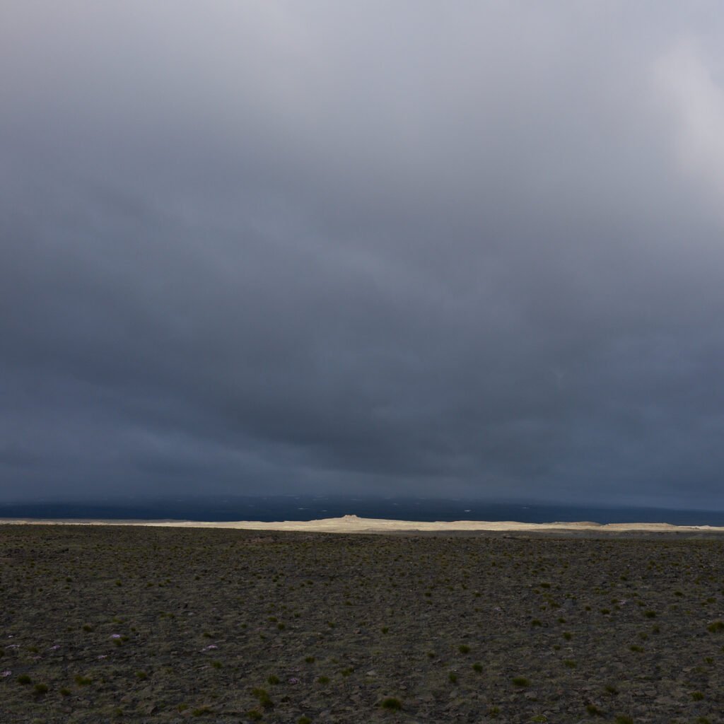
The road ranks among the highest in the country, reaching an altitude of 730 m (2,400
ft) west of Langjokull. It is only passable in summer, and then only for reasonably well-
equipped vehicles. The route runs mostly across barren gravel plains, stretching from
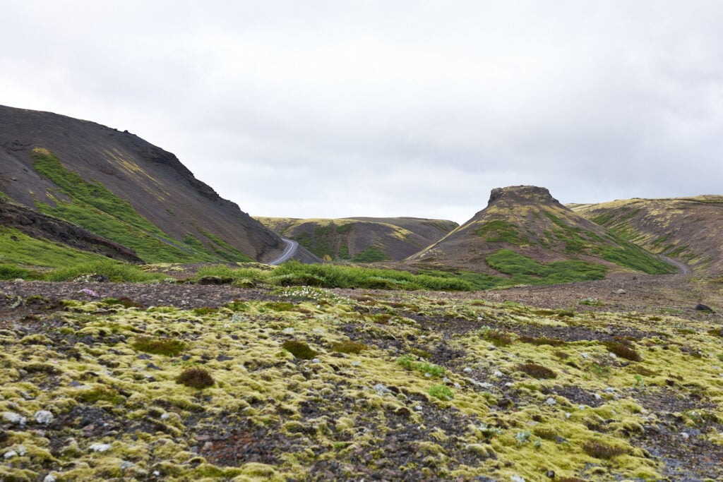
Thingvellir National Park down to Husafell in Borgarfjordur, a beautifully green oasis.
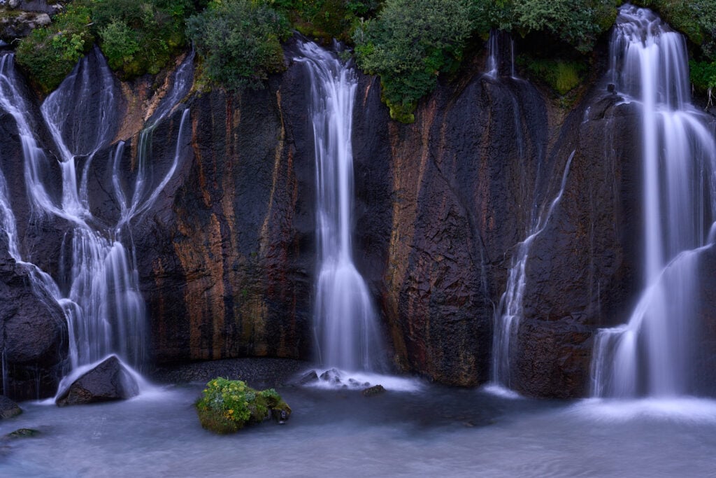
From Husafell it is just a stone’s throw to Hraunfossar, the waterfalls that cascade from
under a lava field into the river Hvita. For travelers wishing to experience as many sides
of Iceland as possible, this makes an excellent day trip: a round journey from Reykjavik
to Thingvellir, then through Kaldidalur down into Borgarfjordur, continuing on to
Reykholt, Hvanneyri, and Borgarnes before returning to the capital.
the mountain
Photos & Text : Páll Stefánsson
Vesturland 11/08/2025 – A7R IV, RX1R II : FE 1.8/135mm GM, FE 1.2/50mm GM, FE 1.8/20mm G, 2.0/35mm Z
