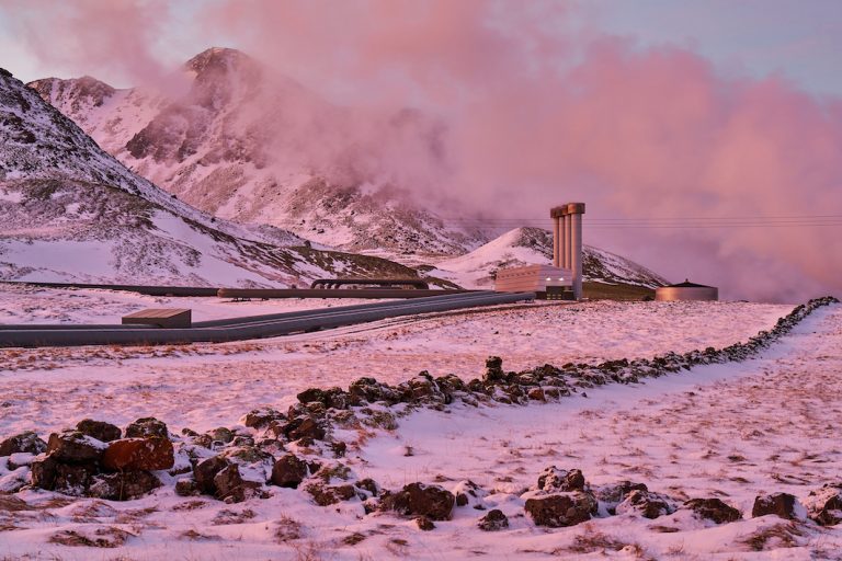
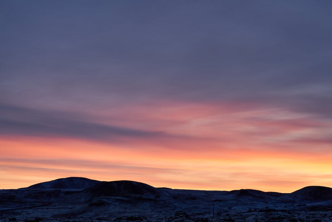
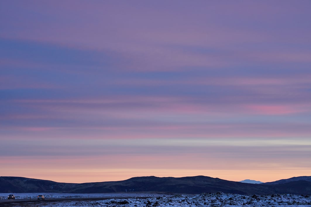
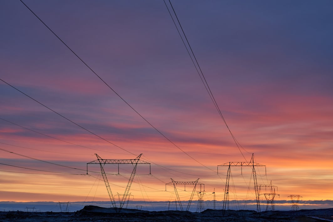
It’s 45 km, 45 min drive from Reykjavík, along Ring Road 1, east to Hveragerði in the south driving over Hellisheiði. As far as we know, there are no caves on Hellisheiði even though the name translates as the heath of caves. The heath is overgrown with moss and heather, and the second busiest highway in the country along with Keflavíkurvegur runs over it. The road was first built around the turn of the last century, and paved in the 1970s, with improvements that are still being made. Today they are working on improvements on the road from Fossvellir to Hólmsá, closest to the capital. The highest point of the road is 375 m, right in the middle of the road between the Ski lodge in Hveradalir and Kambarnir, a steep slope just west of Hveragerði. It was cold today when the Icelandic Times / Land & Saga travelled this highway, -14°C at the highest point, but beautiful, as always.
Photographs & text: Páll Stefánsson
Hellisheidi16/12/2022 : A7R III, A7C,: FE 1.2/50mm GM, FE 2.8/100mm GM
