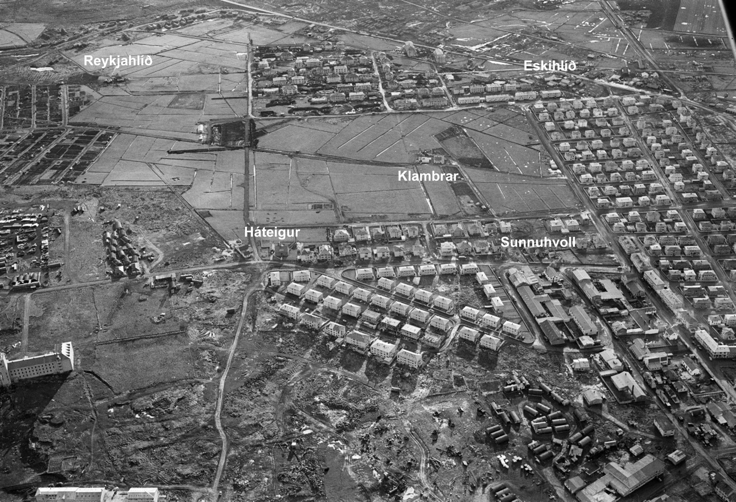
In the late 19th and early 20th centuries drainage of marshland began in Reykjavík territory. The drained land was allocated for farming under leases with inheritance rights. Grassfields were cultivated on farms and smallholdings in these areas, where animal husbandry and agriculture were established. A number of farms were established in Norðurmýri and in the area between Rauðarárholt and Öskjuhlíð. One of them being Háteigur.
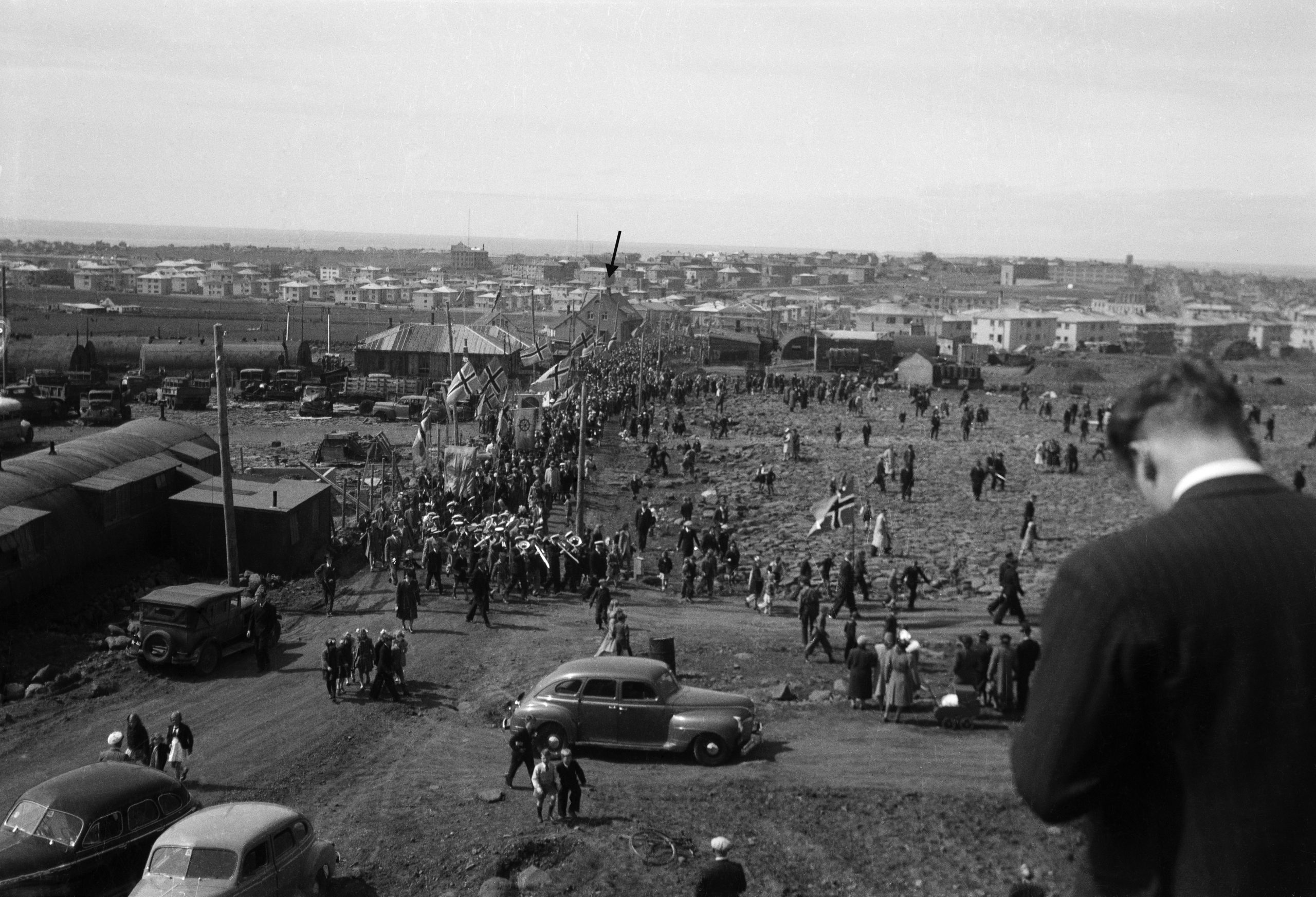
On the corner of Háteigsvegur and Langahlíð, a house remains standing (Háteigsvegur 36) which was part of the farmstead of Háteigur, after which the road is named. It is a lofty concrete house in the neo-baroque style, built in 1920 by sea captain and fishing-vessel owner Halldór Kr. Þorsteinsson (1877-1966) and his wife Ragnhildur Pétursdóttir (1880-1961). They had bought the land in 1914 from Guðmundur Jafetsson (1845-1918), who had built a small wooden house there in 1907, called Háteigur. That house stood on the site of the present Langahlíð. It was later known as Litli-Háteigur. Halldór and Ragnhildur were nationally renowned; Halldór was, for instance, captain of the first trawler owned by Icelanders. Ragnhildur was known for her cultural and charitable activities. At Háteigur she ran a dairy farm for a quarter of a century. In 1945 inheritance rights on the land were revoked to make way for development of the area and the building of Langahlíð. The house at Litli-Háteigur was transferred to a new site in Skipasund in the east of town. Part of the former grassfield of Háteigur was used for vegetable gardens for schoolchildren. That later became part of the Klambratún park.
Historical markers in Reykjavík
In recent years the City of Reykjavík has been installing historical markers around the city. Such markers at historic sites and areas within Reykjavík enrich the experience of both residents and visitors, and provide information on the city‘s history. The markers display information about history, art, literature and social life relating to the site in question, accompanied by pictures. The following information is displayed on a historical marker at Austurvöllur square in downtown Reykjavik. Text and photos: Reykjavík City Museum See further at www.reykjavikcitymuseum.is