Reykjahlíð in Mývatnsveit is one of the largest privately owned land in Iceland. Extends from the banks of Mývatn, where the village Reykjahlíð stands by the lake and to Dettifoss in the north, then west along Jökulsá á Fjöllum and south through Ódáðahraun all the way to Vatnajökull. In this area, the size of a small country, you can find many unique natural pearls.
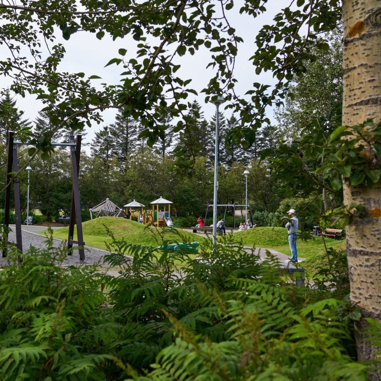
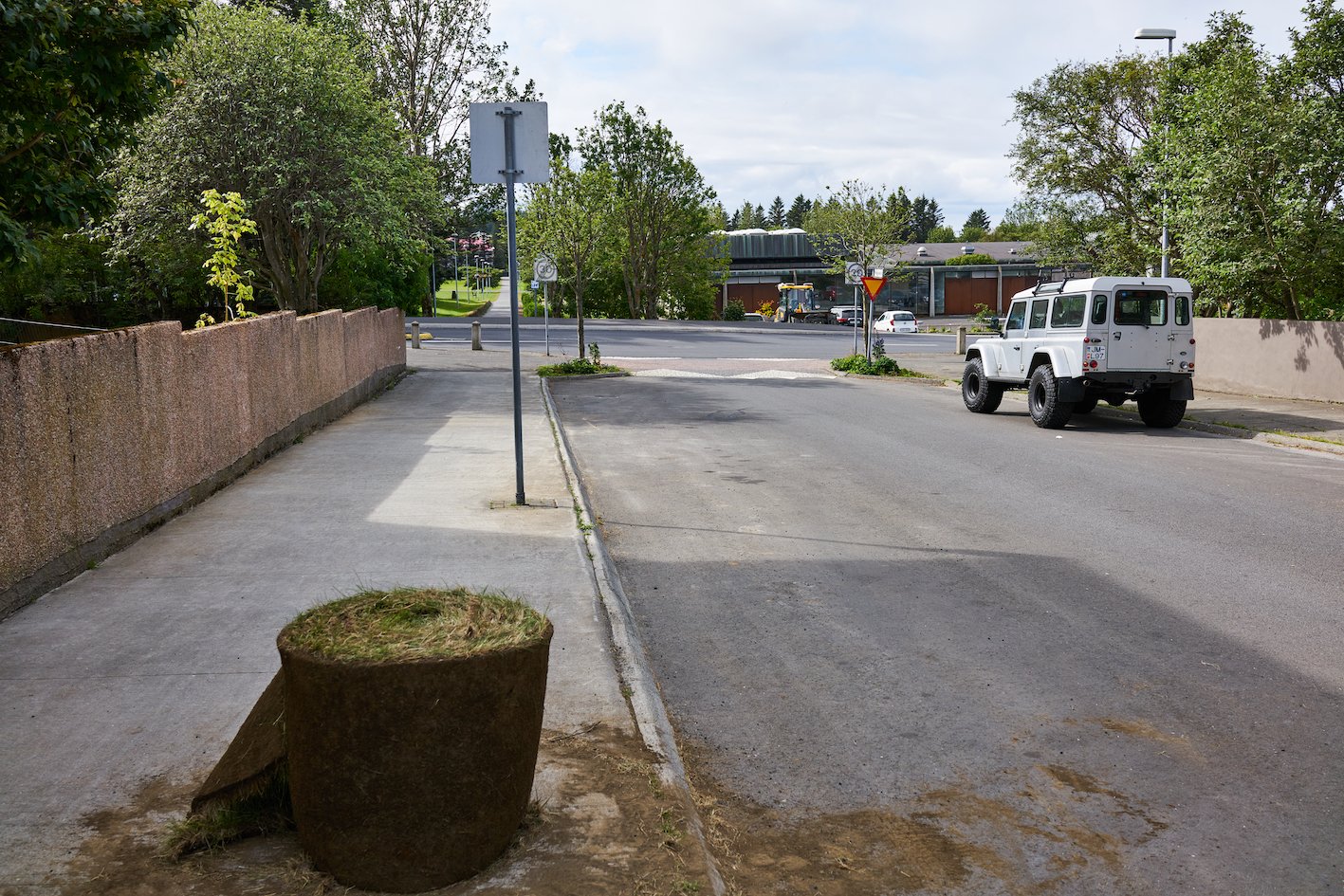
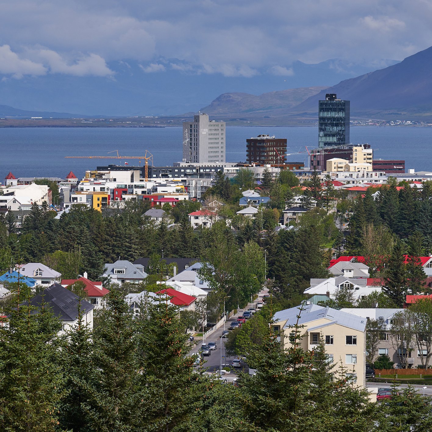
Reykjahlíð in Reykjavík, close to Öskjuhlíð, on the other hand, is a strange street, divided in two, because two-thirds of the street is a footpath on Klambratún, which is to the east of Kjarvalsstaðir. An outdoor recreational area that was planned out in 1965 by Reynir Vilhjálmsson, in the fields of Klambri farm, in an area where there had been school gardens since 1948. The park became larger, and the street Reykjahlíð ended on both sides of Miklatún, as it was then called. At the north end of Reykjahlíð, which is short, there are only four houses. None of the houses have an address listed on the street, as they are addressed on Flókagata and Háteigsvegur.

Photographs & text: Páll Stefánsson
Reykjavík 03/08/2023 : RX1R II, A7R IV : 2.0/35mm Z, FE 2.8/100mm GM
