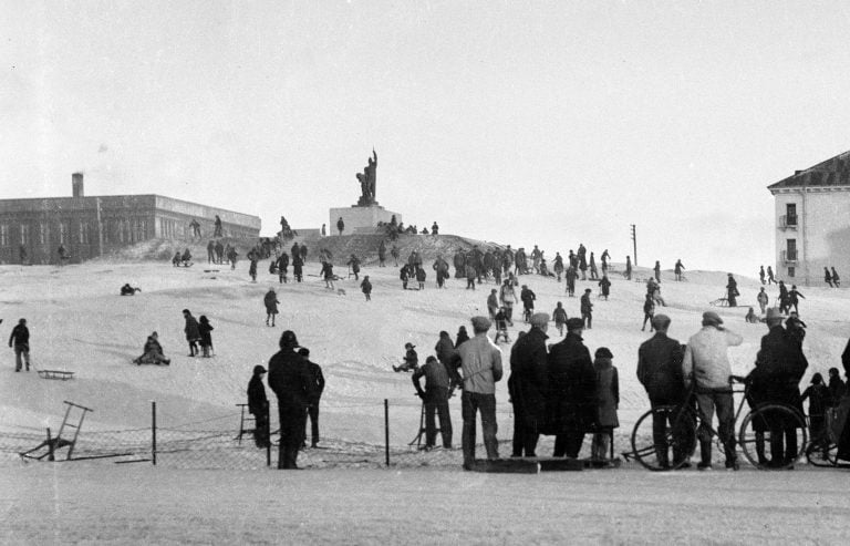
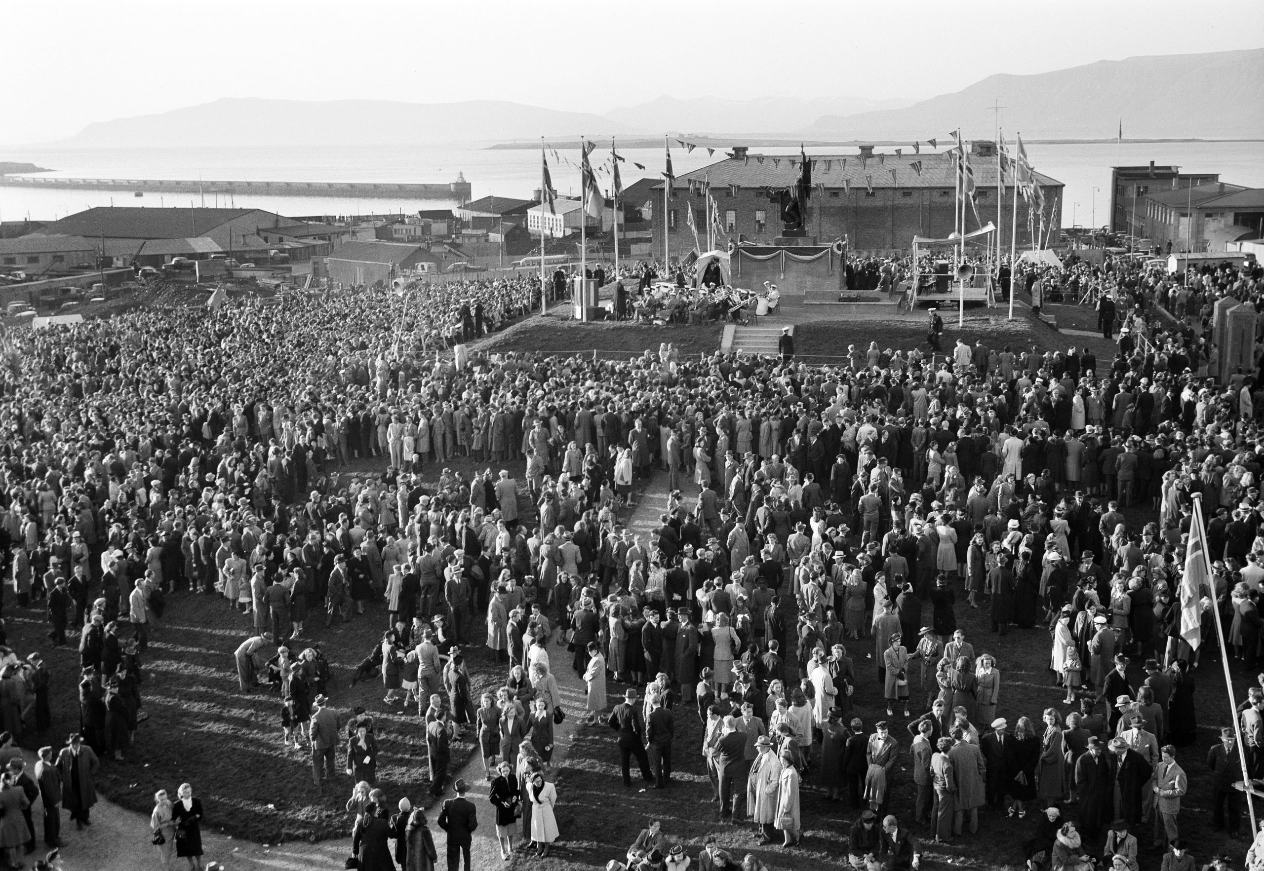
In modern times Arnarhóll is a recreational area and a venue for public events – here on National Day, 17 June 1948. (Photo: Sigurhans Vignir)The old farmstead of Arnarhóll stood on the knoll of the same name, where the statue of Ingólfur Arnarson, Iceland‘s first settler, now stands. The farm is believed to have been founded shortly after the settlement of Iceland (around 870 AD). The oldest relics unearthed during archaeological excavation of the site in 1995 dated from the 12th to 13th century. But the excavation did not include all of the knoll, and hence further research may be expected to reveal older structures. When the jailhouse (now Government House) was built at the south of the Arnarhóll grassfield in 1759-64, the land of the estate was made over to the jail, and the farmhouse fell into disrepair. It was demolished in 1828. The Arnarhóll farm has left some traces in the landscape of the knoll: relics of buildings, and the old Arnarhóll Lane, now overgrown with grass, on the south side of the hill.
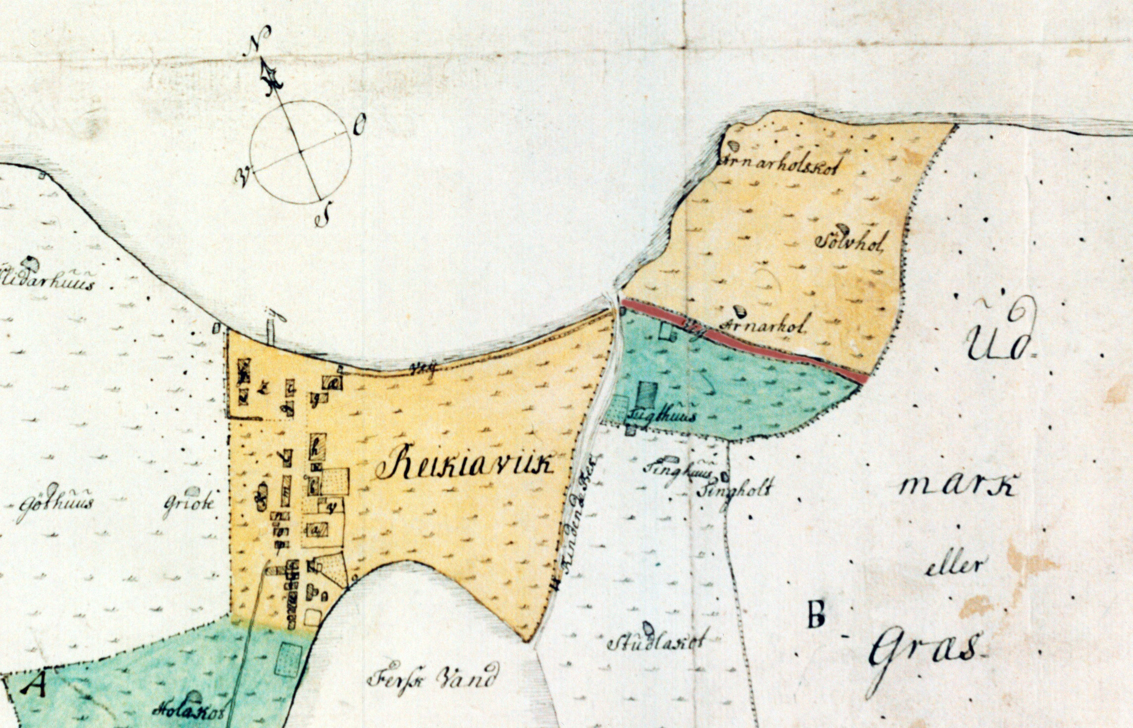
In older times Iceland’s only transport network comprised lanes between farms. Well into the 19th century, the main route to the east in and out of Reykjavík lay along the sea shore (now Hafnarstræti), across the mouth of Arnarhólslækur (Arnarhóll Brook, or simply “the Brook”), and up Arnarhóll Lane onto Arnarhóll. It then meandered across Arnarhólsholt (later Skólavörðuholt) hill, and passed along Öskuhlíð hill, where it forked. One lane led southwards to Hafnarfjörður, the other along Bústaðaholt ridge to the farm of Bústaðir, and on to the ford across the Elliðaár river.
Arnarhóll Brook was often difficult to cross, until it was bridged at the end of the 18th century. In the 1830s Arnarhóll Lane was abandoned, after which the route out of Reykjavík passed via Bakarabrekka (now Bankastræti) and Laugavegur. At that time the official residence of the governor of Iceland was in the former jailhouse (now Government House). The governor had use of the Arnarhóll land, and refused to allow public traffic across his estate.
Historical markers in Reykjavík
In recent years the City of Reykjavík has been installing historical markers around the city. Such markers at historic sites and areas within Reykjavík enrich the experience of both residents and visitors, and provide information on the city‘s culture and history. The markers display information about history, art, literature and social life relating to the site in question, accompanied by pictures.
Text and photos: Reykjavík City Museum
See further at www.reykjavikcitymuseum.is
